File:Stirling UK relief location map.jpg
Aller à la navigation
Aller à la recherche
Taille de cet aperçu : 583 × 600 pixels. Autres résolutions : 233 × 240 pixels | 467 × 480 pixels | 747 × 768 pixels | 996 × 1 024 pixels | 2 002 × 2 059 pixels.
Fichier d’origine (2 002 × 2 059 pixels, taille du fichier : 675 kio, type MIME : image/jpeg)
Légendes
Légendes
Ajoutez en une ligne la description de ce que représente ce fichier
| Description |
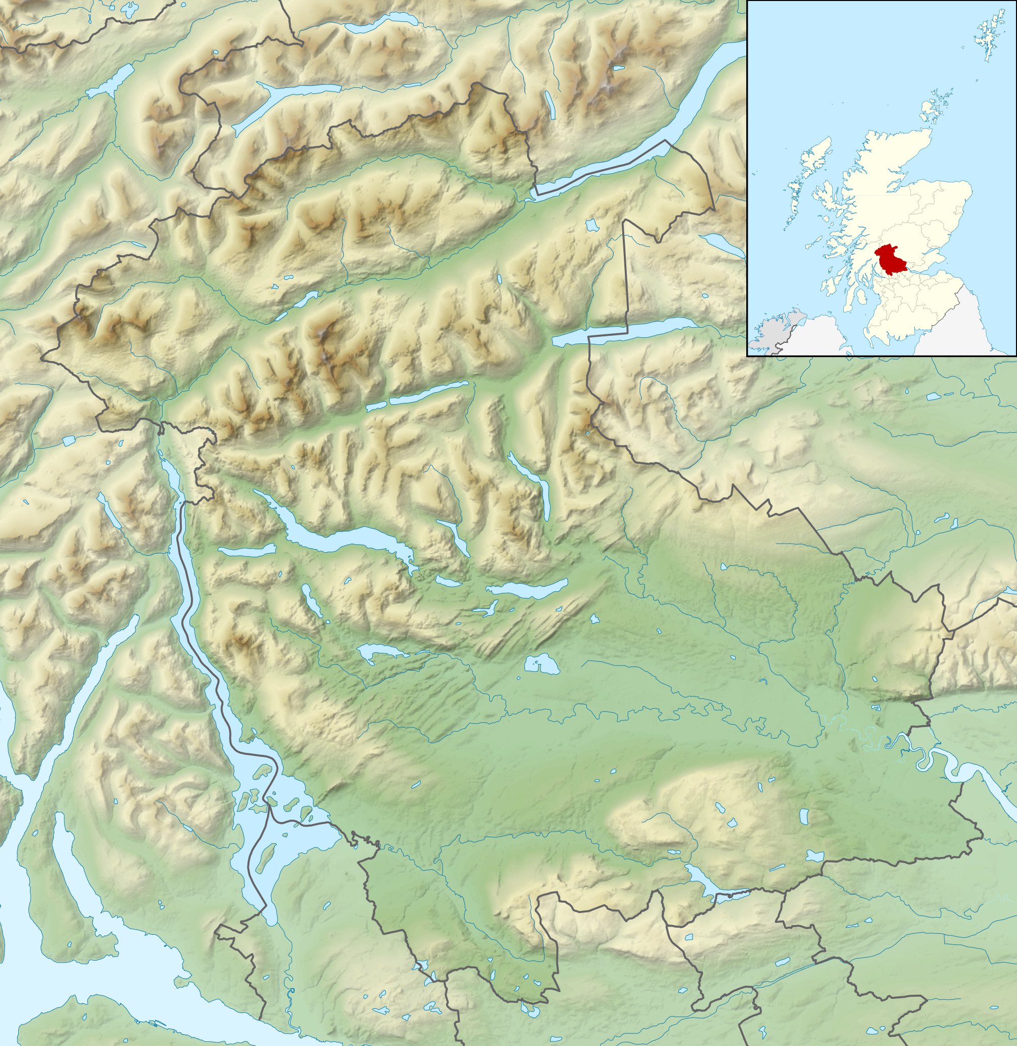
Relief map of Stirling, UK. Equirectangular map projection on WGS 84 datum, with N/S stretched 175% Geographic limits:
|
| Date | |
| Source |
|
| Auteur | Nilfanion, created using Ordnance Survey data |
| Autorisation (Réutilisation de ce fichier) |
Ce fichier est disponible selon les termes de la licence Creative Commons Attribution – Partage dans les Mêmes Conditions 3.0 (non transposée). Attribution: Contains Ordnance Survey data © Crown copyright and database right
|
| Autres versions | File:Stirling UK blank map.svg - Blank map |
Historique du fichier
Cliquer sur une date et heure pour voir le fichier tel qu'il était à ce moment-là.
| Date et heure | Vignette | Dimensions | Utilisateur | Commentaire | |
|---|---|---|---|---|---|
| actuel | 30 novembre 2011 à 12:31 | | 2 002 × 2 059 (675 kio) | Nilfanion (d | contributions) | {{Information |Description=Relief map of Stirling, UK. Equirectangular map projection on WGS 84 datum, with N/S stretched 175% Geographic limits: *West: 4.90W *East: 3.76W *North: 56.60N *South: 55.93N |Source=[[w:Ordnance Survey|Ordnance |
Vous ne pouvez pas remplacer ce fichier.
Utilisations locales du fichier
Aucune page n’utilise ce fichier.
Utilisations du fichier sur d’autres wikis
Les autres wikis suivants utilisent ce fichier :
- Utilisation sur ar.wikipedia.org
- Utilisation sur bg.wikipedia.org
- Utilisation sur ceb.wikipedia.org
- Utilisation sur de.wikipedia.org
- Ben Lomond (Schottland)
- Stirling Castle
- Loch Katrine
- Dumyat
- Doune Castle
- Ben Ledi
- Loch Achray
- Loch Ard
- Loch Chon
- Loch Drunkie
- Vorlage:Positionskarte Schottland Stirling
- Culcreuch Castle
- Loch Venachar
- Falls of Dochart
- Castle Menzies
- Lake of Menteith
- Inchbuie
- Inchcailloch
- Loch Lubnaig
- Loch Voil
- Ben Vorlich (Loch Earn)
- Stùc a’ Chroin
- Ben More (Crianlarich)
- Stob Binnein
- Cruach Ardrain
- Beinn Tulaichean
- An Caisteal
- Beinn a’ Chroin
- Beinn Chabhair
- Ben Oss
- Beinn Dubhchraig
- Ben Challum
- Meall Glas
- Sgiath Chùil
- Falls of Falloch
- Mugdock Castle
- Plean Castle
- Loch Arklet
- Dubh Lochan
- Utilisation sur en.wikipedia.org
Voir davantage sur l’utilisation globale de ce fichier.