File:Stitch Guide for Kaart van de Vliet Kaart van de Vliet 1556, C. Oelensz., SA Delft.png
Jump to navigation
Jump to search

Size of this preview: 655 × 599 pixels. Other resolutions: 262 × 240 pixels | 525 × 480 pixels | 839 × 768 pixels | 1,119 × 1,024 pixels | 2,238 × 2,048 pixels | 4,233 × 3,874 pixels.
Original file (4,233 × 3,874 pixels, file size: 2.03 MB, MIME type: image/png)
Captions
Captions
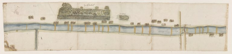
Stitch Guide for Kaart van de Vliet Kaart van de Vliet 1556, C. Oelensz., SA Delft
Summary[edit]
-
 119501
 -
 119502
 -
 119503
 -
 119504
 -
 119505
Licensing[edit]
I, the copyright holder of this work, hereby publish it under the following license:
This file is licensed under the Creative Commons Attribution-Share Alike 4.0 International license.
- You are free:
- to share – to copy, distribute and transmit the work
- to remix – to adapt the work
- Under the following conditions:
- attribution – You must give appropriate credit, provide a link to the license, and indicate if changes were made. You may do so in any reasonable manner, but not in any way that suggests the licensor endorses you or your use.
- share alike – If you remix, transform, or build upon the material, you must distribute your contributions under the same or compatible license as the original.
File history
Click on a date/time to view the file as it appeared at that time.
| Date/Time | Thumbnail | Dimensions | User | Comment | |
|---|---|---|---|---|---|
| current | 10:06, 18 May 2020 | | 4,233 × 3,874 (2.03 MB) | DutchTreat (talk | contribs) | Rotate -90 degrees all images, plus adjust 119505 to be more vertical |
| 16:42, 10 May 2020 |  | 2,234 × 4,858 (3.04 MB) | DutchTreat (talk | contribs) | Uploaded own work with UploadWizard |
You cannot overwrite this file.
File usage on Commons
The following 3 pages use this file: