File:Straßenbrunnen 17 Mitte Berolinastraße Mollstraße (2).jpg
Jump to navigation
Jump to search
Size of this preview: 800 × 600 pixels. Other resolutions: 320 × 240 pixels | 640 × 480 pixels | 1,024 × 768 pixels | 1,280 × 960 pixels | 2,560 × 1,920 pixels | 3,957 × 2,967 pixels.
Original file (3,957 × 2,967 pixels, file size: 2.39 MB, MIME type: image/jpeg)
Captions
Captions
Add a one-line explanation of what this file represents
Summary[edit]
.jpg&action=edit§ion=1)
| Description |
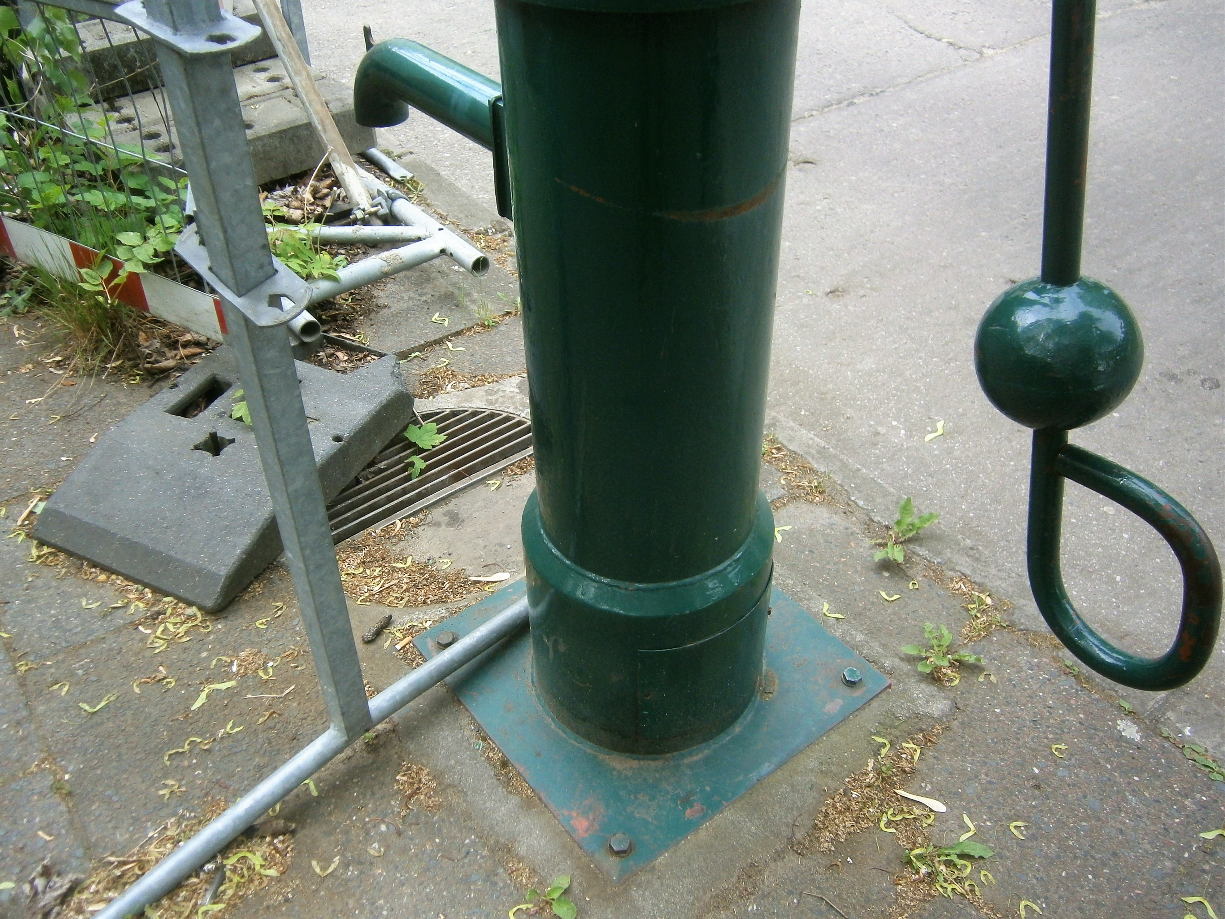
Deutsch: Der Brunnen steht an der Ostseite der Mollstraße, die hier mit einem Seitenast ab der Berolinastraße mündet. Das an dieser Straßenecke[1] anliegende Grundstück Berolinastraße 8 gehört der Charlotte-Pfeffer-Schule (vorher Egon-Schulz-Oberschule, dann Arno-Fuchs-Schule).[2] Die Fußplatte des Brunnenkörpers steht zusammen mit dem Straßeneinlass auf einem Betonaufguss zwischen den Gehwegplatten. Bis zur Stadtumgestaltung (hier Mitte der 1960er Jahre, östlich vom Alex) verlief die Landsberger Straße zwischen Alexanderplatz und Büschingplatz[3], sie kreuzte den Straßenlauf nördlich vom Brunnenstandort und Schulgelände. Die westlich vom Brunnen liegende (unbebaute) Grünfläche ist ein Rest der alten Straßenführung. |
| Date | |
| Source | Own work |
| Author | Boonekamp (Günter Haase) |
| Camera location | | View this and other nearby images on: OpenStreetMap |
|---|
.jpg¶ms=052.522250_N_0013.423094_E_globe:Earth_type:camera__&language=en)
Licensing[edit]
.jpg&action=edit§ion=2)
I, the copyright holder of this work, hereby publish it under the following license:
This file is licensed under the Creative Commons Attribution-Share Alike 4.0 International license.
- You are free:
- to share – to copy, distribute and transmit the work
- to remix – to adapt the work
- Under the following conditions:
- attribution – You must give appropriate credit, provide a link to the license, and indicate if changes were made. You may do so in any reasonable manner, but not in any way that suggests the licensor endorses you or your use.
- share alike – If you remix, transform, or build upon the material, you must distribute your contributions under the same or compatible license as the original.
- ↑ Karte von Berlin 1:5000 (K5 - Farbausgabe): Nordosten von B1/B5 und B2
- ↑ Herzlich Willkommen auf den Seiten der Charlotte-Pfeffer-Schule!
- ↑ Der Büschingplatz lag 250 Meter westlich vom Platz der Vereinten Nationen am Ostende der Mollstraße, bzw. Müdnung der Büschingstraße.
File history
Click on a date/time to view the file as it appeared at that time.
| Date/Time | Thumbnail | Dimensions | User | Comment | |
|---|---|---|---|---|---|
| current | 09:44, 1 June 2019 | | 3,957 × 2,967 (2.39 MB) | Boonekamp (talk | contribs) | User created page with UploadWizard |
You cannot overwrite this file.
File usage on Commons
There are no pages that use this file.
.jpg&oldid=606445502)