File:Straßenverlauf Heinrich-Egloff-Straße Hof (Saale) (OSM).svg
Jump to navigation
Jump to search

Size of this PNG preview of this SVG file: 348 × 598 pixels. Other resolutions: 139 × 240 pixels | 279 × 480 pixels | 446 × 768 pixels | 595 × 1,024 pixels | 1,191 × 2,048 pixels | 1,905 × 3,276 pixels.
Original file (SVG file, nominally 1,905 × 3,276 pixels, file size: 1.47 MB)
Captions
Captions
Add a one-line explanation of what this file represents
Summary[edit]
_(OSM).svg&action=edit§ion=1)
Licensing[edit]
_(OSM).svg&action=edit§ion=2)
| Description |
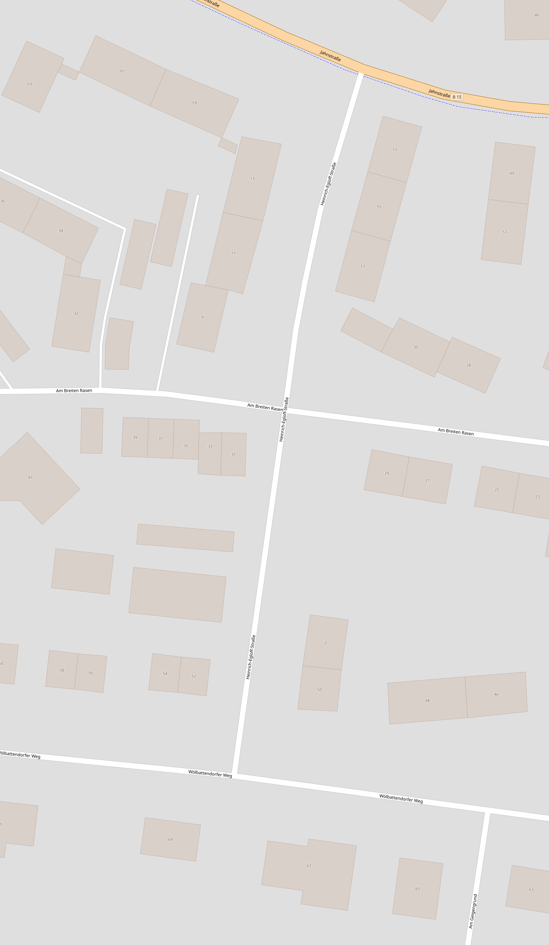
This map was created from OpenStreetMap project data, collected by the community. This map may be incomplete, and may contain errors. Don't rely solely on it for navigation. |
|||
| Date | (see file history) | |||
| Source | openstreetmap.org | |||
| Creator |
OpenStreetMap contributors |
|||
| Permission (Reusing this file) |
OpenStreetMap data is available under the Open Database License (details). Map tiles are licensed under the Creative Commons Attribution-ShareAlike 2.0 license (CC-BY-SA 2.0).
This file is licensed under the Creative Commons Attribution-Share Alike 2.0 Generic license.
|
|||
| Georeferencing | If inappropriate please set warp_status = skip to hide. |
File history
Click on a date/time to view the file as it appeared at that time.
| Date/Time | Thumbnail | Dimensions | User | Comment | |
|---|---|---|---|---|---|
| current | 19:12, 28 November 2021 | | 1,905 × 3,276 (1.47 MB) | PantheraLeo1359531 (talk | contribs) | Uploaded a work by Contributors to OSM from Heiligengrabstraße https://www.openstreetmap.org/#map=19/50.32111/11.92268<br /> Heimgartenstraße https://www.openstreetmap.org/#map=19/50.30636/11.88837<br /> Heimstättenweg https://www.openstreetmap.org/#map=19/50.30708/11.88622<br /> Heinrich-Egloff-Straße https://www.openstreetmap.org/#map=19/50.31615/11.89933<br /> Heinrich-Heine-Straße https://www.openstreetmap.org/#map=19/50.29642/11.90648<br /> Henri-Marteau-Straße https://www.o... |
You cannot overwrite this file.
File usage on Commons
The following page uses this file:
File usage on other wikis
The following other wikis use this file:
- Usage on www.wikidata.org
_(OSM).svg&oldid=774164788)