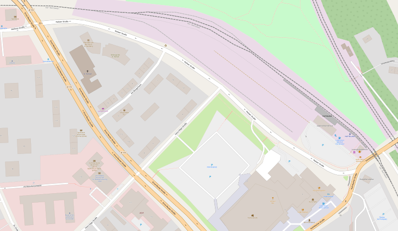
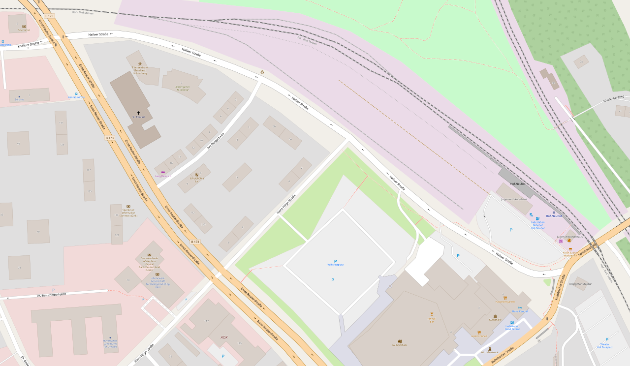
File:Straßenverlauf Nailaer Straße Hof (Saale) (OSM).svg

Original file (SVG file, nominally 3,181 × 1,849 pixels, file size: 2.96 MB)
Captions
Captions
Summary[edit]
_(OSM).svg&action=edit§ion=1)
| Description |
Deutsch: Straßenverlauf Nailaer Straße in Hof (Saale) über OpenStreetMap.
English: Street course of Nailaer Straße per OpenStreetMap. |
| Date | |
| Source |
Mühldamm https://www.openstreetmap.org/#map=19/50.32071/11.91982 |
| Author | Contributors to OSM |
Licensing[edit]
_(OSM).svg&action=edit§ion=2)
| Description |
This map was created from OpenStreetMap project data, collected by the community. This map may be incomplete, and may contain errors. Don't rely solely on it for navigation. |
|||
| Date | (see file history) | |||
| Source | openstreetmap.org | |||
| Creator |
OpenStreetMap contributors |
|||
| Permission (Reusing this file) |
OpenStreetMap data is available under the Open Database License (details). Map tiles are licensed under the Creative Commons Attribution-ShareAlike 2.0 license (CC-BY-SA 2.0).
This file is licensed under the Creative Commons Attribution-Share Alike 2.0 Generic license.
|
|||
| Georeferencing | If inappropriate please set warp_status = skip to hide. |
File history
Click on a date/time to view the file as it appeared at that time.
| Date/Time | Thumbnail | Dimensions | User | Comment | |
|---|---|---|---|---|---|
| current | 19:01, 9 December 2021 | | 3,181 × 1,849 (2.96 MB) | PantheraLeo1359531 (talk | contribs) | Uploaded a work by Contributors to OSM from Mühldamm https://www.openstreetmap.org/#map=19/50.32071/11.91982<br /> Münsterweg https://www.openstreetmap.org/#map=19/50.30168/11.91038<br /> Murringweg https://www.openstreetmap.org/#map=19/50.32775/11.88608<br /> Nailaer Straße https://www.openstreetmap.org/#map=19/50.32171/11.90285<br /> Neue Gasse https://www.openstreetmap.org/#map=19/50.32159/11.91641<br /> Neuhofer Straße https://www.openstreetmap.org/#map=19/50.32516/11.89786<br... |
You cannot overwrite this file.
File usage on Commons
The following page uses this file:
File usage on other wikis
The following other wikis use this file:
- Usage on www.wikidata.org
_(OSM).svg&oldid=774165001)