File:Strommasten Ankasa WR 2014 B003.jpg
Jump to navigation
Jump to search
Size of this preview: 800 × 597 pixels. Other resolutions: 320 × 239 pixels | 640 × 478 pixels | 1,024 × 764 pixels | 1,140 × 851 pixels.
Original file (1,140 × 851 pixels, file size: 428 KB, MIME type: image/jpeg)
Captions
Captions
Add a one-line explanation of what this file represents
Summary
[edit]
| Description |
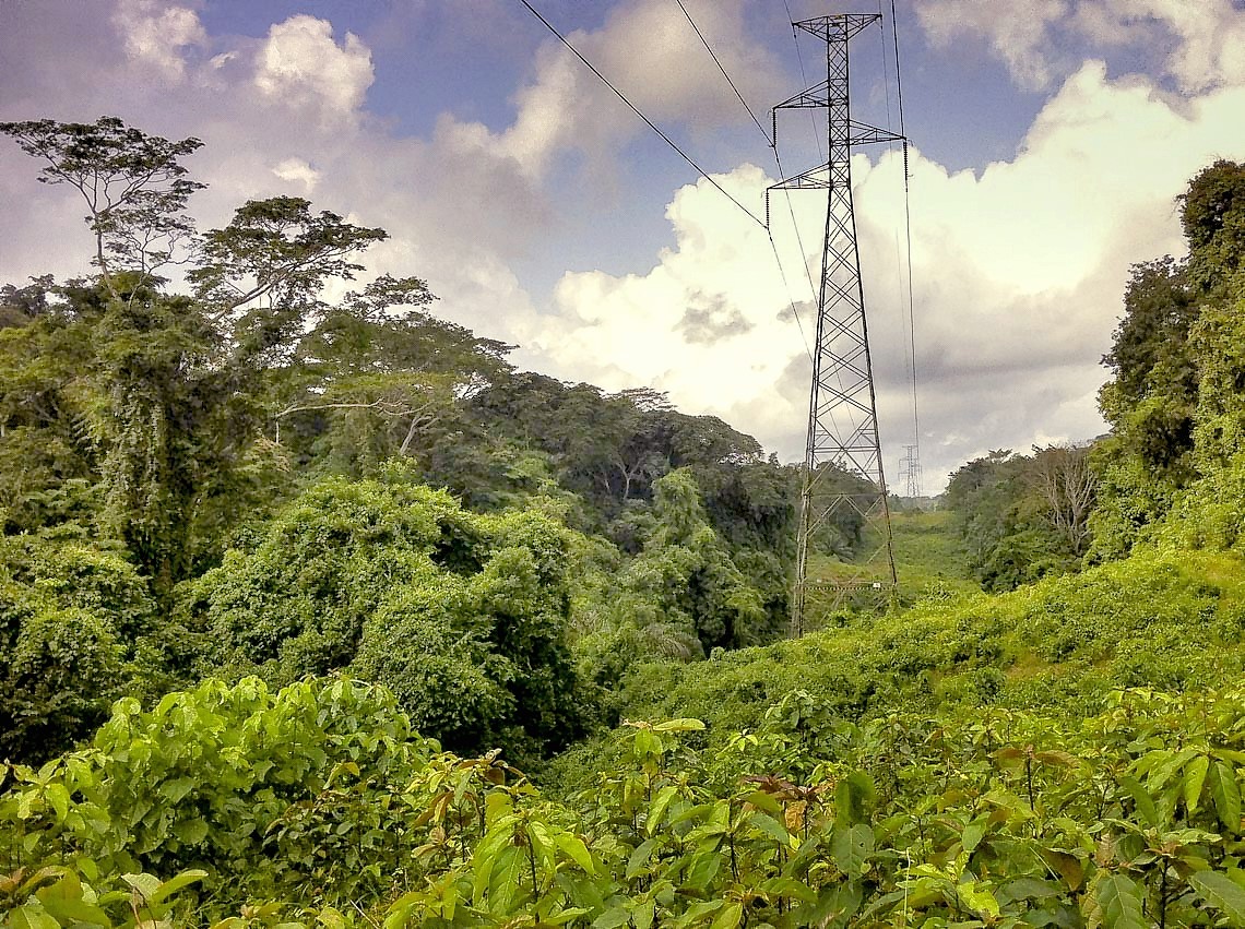
English: Electricity pylons, which run through the Ankasa Conservation Area (near Mpataba, Western Region, Ghana)
Deutsch: Strommasten, die mitten durch das Ankasa-Naturschutzgebiet verlaufen (Nähe Mpataba, Western Region, Ghana) |
| Date | |
| Source | https://www.flickr.com/photos/francesco_veronesi/16196636895 |
| Author | Francesco Veronesi |
| Camera location | | View this and other nearby images on: OpenStreetMap |
|---|
Licensing
[edit]
This file is licensed under the Creative Commons Attribution-Share Alike 2.0 Generic license.
Attribution: Francesco Veronesi
- You are free:
- to share – to copy, distribute and transmit the work
- to remix – to adapt the work
- Under the following conditions:
- attribution – You must give appropriate credit, provide a link to the license, and indicate if changes were made. You may do so in any reasonable manner, but not in any way that suggests the licensor endorses you or your use.
- share alike – If you remix, transform, or build upon the material, you must distribute your contributions under the same or compatible license as the original.
| This image, originally posted to Flickr, was reviewed on 14 April 2015 by the administrator or reviewer Leoboudv, who confirmed that it was available on Flickr under the stated license on that date. |
File history
Click on a date/time to view the file as it appeared at that time.
| Date/Time | Thumbnail | Dimensions | User | Comment | |
|---|---|---|---|---|---|
| current | 10:52, 13 April 2015 | | 1,140 × 851 (428 KB) | Katharinaiv (talk | contribs) | {{Information |Description ={{en|1=Electricity poles, which run through the Ankasa Conservation Area (near Mpataba, Western Region, Ghana)}} {{de|1=Strommasten, die mitten durch das Ankasa-Naturschutzgebiet verlaufen (Nähe Mpataba, Western Region,... |
You cannot overwrite this file.
File usage on Commons
The following page uses this file: