File:Sudan (2005-2011) location map.svg

Fitxer original (fitxer SVG, nominalment 1.654 × 1.956 píxels, mida del fitxer: 564 Ko)
Llegendes
Llegendes
Resum
[modifica]| Descripció |
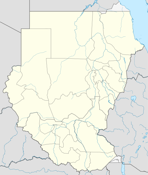
Deutsch: Positionskarte von Sudan, Stand 2005–2011
Quadratische Plattkarte, N-S-Streckung 103 %. Geographische Begrenzung der Karte:
English: Location map of Sudan (2005-2011)
Equirectangular projection, N/S stretching 103 %. Geographic limits of the map:
|
|
| Data | ||
| Font |
Treball propi, using
|
|
| Autor | NordNordWest | |
| Permís (Com reutilitzar aquest fitxer) |
Aquest fitxer està publicat sota la llicència de Creative Commons Reconeixement i Compartir Igual 3.0 Alemanya.
 Aquest fitxer està subjecte a la llicència de Creative Commons Reconeixement i Compartir Igual 3.0 No adaptada.
|

_location_map.svg&action=edit§ion=1)

|
This map has been made or improved in the German Kartenwerkstatt (Map Lab). You can propose maps to improve as well.
|
Historial del fitxer
Cliqueu una data/hora per veure el fitxer tal com era aleshores.
| Data/hora | Miniatura | Dimensions | Usuari/a | Comentari | |
|---|---|---|---|---|---|
| actual | 11:00, 3 feb 2011 | | 1.654 × 1.956 (564 Ko) | NordNordWest (discussió | contribucions) | == {{int:filedesc}} == {{Information |Description= {{de|Positionskarte von Brunei}} Quadratische Plattkarte. Geographische Begrenzung der Karte: * N: 5.2° N * S: 3.9° N * W: 113.9° O * O: 115.5° O {{en|Location map of [[:en:Brunei|Brune |
No podeu sobreescriure aquest fitxer.
Ús del fitxer
La pàgina següent utilitza aquest fitxer:
Ús global del fitxer
Utilització d'aquest fitxer en altres wikis:
- Utilització a ar.wikipedia.org
- Utilització a bs.wikipedia.org
- Utilització a ca.wikipedia.org
- Utilització a ceb.wikipedia.org
- Utilització a de.wikipedia.org
- Utilització a el.wikipedia.org
- Utilització a en.wikipedia.org
- 1957 African Cup of Nations
- 1970 African Cup of Nations
- 1971 Sudanese coup d'état
- 2011 African Nations Championship
- 2010 South Darfur clash
- Module:Location map/data/Sudan (2005-2011)/doc
- 1989 Sudanese coup d'état
- 1969 Sudanese coup d'état
- 1977 Sudan Juba coup attempt
- Module:Location map/data/Sudan (2005-2011)
- 1985 Sudanese coup d'état
- 1990 Sudanese coup attempt
- 1976 Sudanese coup attempt
- Utilització a es.wikipedia.org
- Utilització a fa.wikipedia.org
- Utilització a fr.wikipedia.org
- Utilització a he.wikipedia.org
- Utilització a hy.wikipedia.org
- Utilització a id.wikipedia.org
- Utilització a kn.wikipedia.org
- Utilització a mk.wikipedia.org
- Utilització a pl.wikipedia.org
- Utilització a pl.wikibooks.org
- Utilització a ru.wikipedia.org
- Utilització a simple.wiktionary.org
Vegeu més usos globals d'aquest fitxer.
_location_map.svg)
_location_map.svg&oldid=476797426)