File:Sutherland UK location map.svg
Spring til navigation
Spring til søgning

Size of this PNG preview of this SVG file: 733 × 600 pixels. Andre opløsninger: 293 × 240 pixels | 587 × 480 pixels | 939 × 768 pixels | 1.252 × 1.024 pixels | 2.503 × 2.048 pixels | 1.425 × 1.166 pixels.
Oprindelig fil (SVG fil, basisstørrelse 1.425 × 1.166 pixels, filstørrelse: 2,59 MB)
Captions
Captions
Tilføj en kort forklaring på en enkelt linje om hvad filen viser
| Beskrivelse |
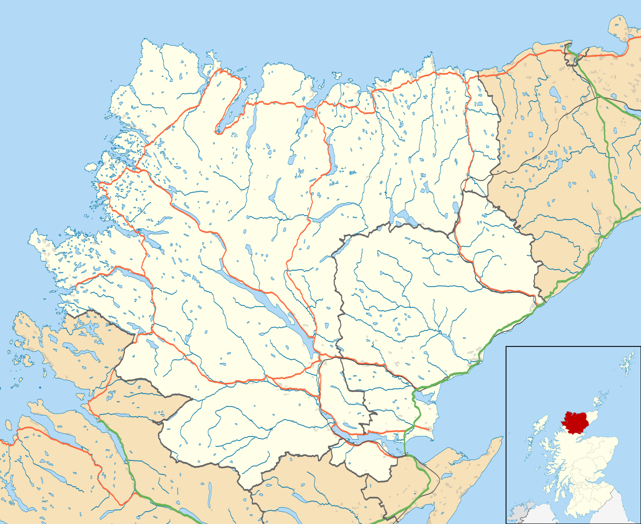
Map of Sutherland, UK in 2011, with the following information shown:
Equirectangular map projection on WGS 84 datum, with N/S stretched 180% Geographic limits:
|
| Dato | |
| Kilde |
|
| Forfatter | Nilfanion, created using Ordnance Survey data |
| Tilladelse (Genbrug af denne fil) |
Denne fil er udgivet under Creative Commons Kreditering-Del på samme vilkår 3.0 Ikke-porteret-licensen. Kreditering: Contains Ordnance Survey data © Crown copyright and database right
|
| Andre versioner | File:Sutherland UK blank map.svg - Blank map |
Filhistorik
Klik på en dato/tid for at se filen som den så ud på det tidspunkt.
| Dato/tid | Miniaturebillede | Dimensioner | Bruger | Kommentar | |
|---|---|---|---|---|---|
| nuværende | 24. feb. 2011, 13:22 | | 1.425 × 1.166 (2,59 MB) | Nilfanion (diskussion | bidrag) | {{Information |Description=Map of Sutherland, UK in 2011, with the following information shown: *Ward boundaries *Coastline and lakes *Roads and railways *Urban areas Equirectangular map projection on WGS 84 datum, with N/S stretched 180 |
Du kan ikke overskrive denne fil.
Filanvendelse
Der er ingen sider der bruger denne fil.
Global filanvendelse
Følgende andre wikier anvender denne fil:
- Anvendelser på ar.wikipedia.org
- Anvendelser på ceb.wikipedia.org
- Anvendelser på en.wikipedia.org
- Dornoch
- Durness
- Tongue, Sutherland
- Helmsdale
- Kinlochbervie
- Coldbackie
- Loch Fleet
- Lairg
- Forsinard
- Brora
- Scourie
- Bonar Bridge
- Lochinver
- Clashnessie
- Bettyhill
- Golspie
- Achany
- Achfary
- Achmelvich
- Achnacarnin
- Achnairn
- Achriesgill
- Achvaich
- Assynt
- Dornoch Cathedral
- Dunrobin Castle
- Kinbrace
- Rogart
- Ardgay
- Inveran
- Embo, Sutherland
- Upper Bighouse
- Achavandra Muir
- Culrain
- Eriboll
- Strathy
- Melvich
- Achfrish
- Achina, Highland
- Achrimsdale
- Altass
- Ardachu
- Ardchronie
- Borgie
- Aultiphurst
- Badninish
- Evelix
- Inchnadamph
Vis flere globale anvendelser af denne fil.