File:Szczecin 05-2017 img01 Railway station.jpg
跳至導覽
跳至搜尋
預覽大小:800 × 500 像素。 其他解析度:320 × 200 像素 | 640 × 400 像素 | 1,024 × 640 像素 | 1,280 × 800 像素 | 2,560 × 1,600 像素 | 4,098 × 2,561 像素。
原始檔案 (4,098 × 2,561 像素,檔案大小:4.87 MB,MIME 類型:image/jpeg)
說明
說明
添加單行說明來描述出檔案所代表的內容
| 描述 |
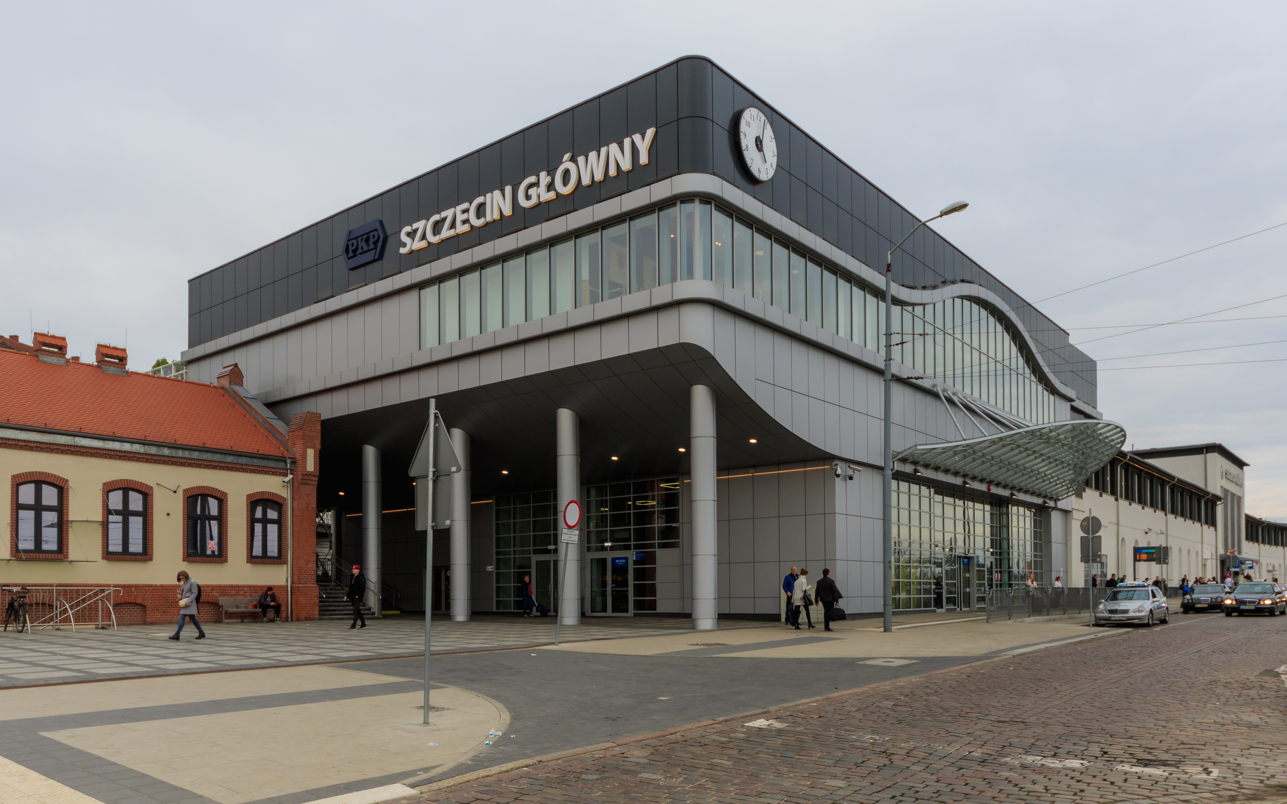
English: Main railway station in Szczecin (Poland)
Русский: Главный вокзал в Щецине (Польша) |
||
| 日期 | |||
| 來源 | 自己的作品 | ||
| 作者 | A.Savin | ||
| 授權許可 (重用此檔案) |
.svg) Just attribute the author: «A.Savin, Wikipedia»; if you have questions — Telegram, or e-mail to wikiphotospace@gmail.com..svg) Просто укажите в качестве автора: «А.Савин, Википедия»; если есть вопрос — телеграм, или эл.почта на wikiphotospace@gmail.com. Kennzeichnen Sie einfach als Autor: «A.Savin, Wikipedia»; falls Sie Fragen haben — Telegram, oder E-Mail an wikiphotospace@gmail.com.
Thank you.
|
| 拍攝地點 | | 位於此地的本圖片與其他圖片: OpenStreetMap |
|---|
授權條款
[編輯]
| 公共版權:本藝術作品是自由的,您可以依據自由藝術作品許可協議的條款傳播和/或修改本藝術作品。您可以在Copyleft Attitude網站或其他網站找到該許可協議的樣本。 |
檔案歷史
點選日期/時間以檢視該時間的檔案版本。
| 日期/時間 | 縮圖 | 尺寸 | 用戶 | 備註 | |
|---|---|---|---|---|---|
| 目前 | 2017年6月13日 (二) 15:26 | | 4,098 × 2,561(4.87 MB) | A.Savin(對話 | 貢獻) | {{User:A.Savin/F |Description= {{en|Main railway station in Szczecin (Poland)}} {{ru|Главный вокзал в Щецине (Польша)}} |Year=2017 |Country=Poland |Month=05 |Day=06}} {{Location|53|25|6.4|N|14|33|3.9|E|region:PL-ZP}} {{FoP-Pol... |
無法覆蓋此檔案。
檔案用途
下列3個頁面有用到此檔案:
全域檔案使用狀況
以下其他 wiki 使用了這個檔案:
- arz.wikipedia.org 的使用狀況
- ceb.wikipedia.org 的使用狀況
- cs.wikipedia.org 的使用狀況
- de.wikipedia.org 的使用狀況
- de.wikivoyage.org 的使用狀況
- en.wikipedia.org 的使用狀況
- en.wikivoyage.org 的使用狀況
- eo.wikipedia.org 的使用狀況
- hu.wikipedia.org 的使用狀況
- it.wikipedia.org 的使用狀況
- kk.wikipedia.org 的使用狀況
- ko.wikipedia.org 的使用狀況
- mn.wikipedia.org 的使用狀況
- nl.wikipedia.org 的使用狀況
- pl.wikipedia.org 的使用狀況
- pl.wikinews.org 的使用狀況
- ru.wikipedia.org 的使用狀況
- ru.wikivoyage.org 的使用狀況
- sv.wikipedia.org 的使用狀況
- uk.wikipedia.org 的使用狀況
- uk.wikivoyage.org 的使用狀況
- vi.wikipedia.org 的使用狀況
- www.wikidata.org 的使用狀況
- zh.wikipedia.org 的使用狀況