File:Tetrarchy map3.jpg
Skočit na navigaci
Skočit na vyhledávání

Velikost tohoto náhledu: 791 × 599 pixelů. Jiná rozlišení: 317 × 240 pixelů | 634 × 480 pixelů | 991 × 751 pixelů.
Původní soubor (991 × 751 pixelů, velikost souboru: 628 KB, MIME typ: image/jpeg)
Popisky
Popisky
Přidejte jednořádkové vysvětlení, co tento soubor představuje
Popis[editovat]
| Popis |
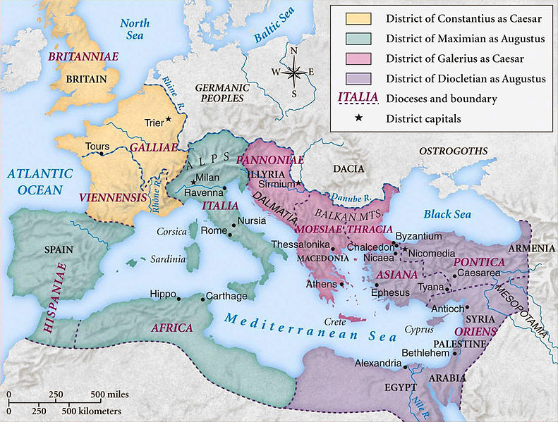
Català: Imperi Romà durant l'època de la Tetrarquia. Deutsch: Karte des Römischen Reichs während der ersten Tetrarchie (ab 293 n.Chr) English: Historic map of Roman Empire during the first tetrarchy Français : Carte de l'empire romain sous la première tétrarchie (293) Português do Brasil: Império Romano à época da Tetrarquia Русский: Карта Римской империи во времена первой тетрархии. 中文: 罗马帝国第一次东西分治的地图(自公元293年起) עברית : מפה של האימפריה הרומאית בתקופת הטטררכיה הראשונה. |
||||||
| Datum | |||||||
| Zdroj | Coppermine Photo Gallery | ||||||
| Autor | Coppermine Photo Gallery | ||||||
| Svolení (Užití tohoto souboru) |
Coppermine Photo Gallery (CPG) is an open source project released under the GNU/GPL terms. | ||||||
| Další verze |
[]
|


Licence[editovat]

|
Tento dokument smí být kopírován, šířen nebo upravován podle podmínek Svobodné licence GNU pro dokumenty verze 1.2 nebo libovolné vyšší verze publikované nadací Free Software Foundation. Dokument nemá neměnné části ani texty na předním či zadním přebalu. Kopie textu licence je k dispozici v oddíle nazvaném GNU Free Documentation License. |
| Tento soubor podléhá licenci Creative Commons Uveďte autora-Zachovejte licenci 3.0 Unported | ||
| ||
| Tato licenční šablona byla k tomuto souboru přidána v rámci změny licencování. |
Historie souboru
Kliknutím na datum a čas se zobrazí tehdejší verze souboru.
| Datum a čas | Náhled | Rozměry | Uživatel | Komentář | |
|---|---|---|---|---|---|
| současná | 8. 10. 2013, 11:36 | | 991 × 751 (628 KB) | DIREKTOR (diskuse | příspěvky) | Cropped frame |
| 17. 8. 2008, 11:23 |  | 1 000 × 760 (196 KB) | Brane Blokar (diskuse | příspěvky) | {{Information |Description=English: historic map of Roman Empire during the first tetrarchy |Source=Coppermine Photo Gallery |Date=2008-18-17 |Author=Coppermine Photo Gallery |Permission=Coppermine Photo Gallery (CPG) is an open source project released un |
Tento soubor nemůžete přepsat.
Využití souboru
Na Commons na soubor odkazují tyto stránky:
- Atlas of Albania
- Atlas of Bosnia and Herzegovina
- Atlas of Kosovo
- Atlas of Republika Srpska
- Atlas of Serbia
- Atlas of Vojvodina
- File:Roman Tetrarchy map - RU.svg
- File:Römische Tetrarchie-es.svg
- File:Römische Tetrarchie-fr.svg
- File:Römische Tetrarchie-pt.svg
- File:Römische Tetrarchie-zh.svg
- File:Römische Tetrarchie.svg
- File:Tetrarchy map3.jpg
- File:Tetrarchy map3 Heb.jpg
- Template:Other versions/Roman Tetrarchy
Globální využití souboru
Tento soubor využívají následující wiki:
- Využití na af.wikipedia.org
- Využití na ast.wikipedia.org
- Využití na be.wikipedia.org
- Využití na bg.wikipedia.org
- Využití na cs.wikipedia.org
- Využití na da.wikipedia.org
- Využití na el.wikipedia.org
- Využití na en.wikipedia.org
- Diocletian
- Tetrarchy
- 293
- Outline of ancient Rome
- Nicomedia
- List of Roman civil wars and revolts
- Fall of the Western Roman Empire
- Praetorian prefecture
- Diocletianic Persecution
- Later Roman Empire
- Byzantine Empire
- History of the Roman Empire
- History of the Byzantine Empire
- Timeline of Eastern Orthodoxy in Greece (33–717)
- Diocese of Moesiae
- Classical Anatolia
- Geopolitics of the Roman Empire
- User:Falcaorib
- User:Bridgerlyman/sandbox
- Využití na en.wikibooks.org
- Využití na et.wikipedia.org
- Využití na eu.wikipedia.org
- Využití na fa.wikipedia.org
- Využití na id.wikipedia.org
- Využití na it.wikipedia.org
- Využití na ja.wikipedia.org
Zobrazit další globální využití tohoto souboru.