File:The Marble Church from Bodelwyddan Park - geograph.org.uk - 124539.jpg
Jump to navigation
Jump to search
Nyns eus klerder ughella kavadow.
The_Marble_Church_from_Bodelwyddan_Park_-_geograph.org.uk_-_124539.jpg (640 × 480 piksel, myns an restren: 144 KB, eghen MIME: image/jpeg)
Captions
Captions
Add a one-line explanation of what this file represents
Berrskrif
[golegi]
| Deskrifans |
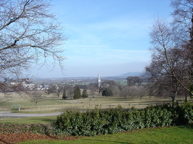
English: The Marble Church from Bodelwyddan Park. Taken from the grounds of Bodelwyddan Castle looking over the A55 dual carriage towards the coast with the spire of the Marble Church to the centre of the photo |
| Dedhyans | |
| Pennfenten | From geograph.org.uk |
| Awtour | Dot Potter |
| Askrifans (required by the license) | Dot Potter / The Marble Church from Bodelwyddan Park / |
| Object location | | View this and other nearby images on: OpenStreetMap |
|---|
_&language=kw)
Leshyans
[golegi]

|
This image was taken from the Geograph project collection. See this photograph's page on the Geograph website for the photographer's contact details. The copyright on this image is owned by Dot Potter and is licensed for reuse under the Creative Commons Attribution-ShareAlike 2.0 license.
|
This file is licensed under the Creative Commons Attribution-Share Alike 2.0 Generic license.
Askrifans: Dot Potter
- Yma'n gwir dhywgh:
- a ranna – a dhasskrifa, lesranna ha treuskorra an ober
- a gemyska – a aswiwa an ober
- Yn-dann an ragselyow a syw:
- askrifans – Res yw dhywgh ri askrifans gwiw, provia kevren dhe'n lecyans, ha meneges mar peu chanjyow gwrys. Hwi a yll gul hemma yn fordh resonus a vynnowgh, mes ny yllir y wul yn fordh a broffo synser an lecyans dh'agas skoodhya po agas devnydh.
- ranna kehaval – Mar kwrewgh hwi chanjya, treusfurvya po drehevel war an ober ma, res yw dhywgh lesranna agas kevrohow yn-dann an keth lecyans hag an derowel, po lecyans kesplegadow.
- Remove redundant categories and try to put this image in the most specific category/categories
- Remove this template
- The location categories are based on information from this geonames tool and this OpenStreetMap tool combined with a database. You can also have a look at this tool from mysociety.
- The topic category from Geograph was View (find similar images at Geograph)
Istori an restren
Klyckyewgh war dhedhyans/eur rag gweles an folen dell o an termyn na.
| Dedhyans/Eur | Skeusennik | Mynsow | Devnydhyer | Kampol | |
|---|---|---|---|---|---|
| a-lemmyn | 05:06, 31 Genver 2010 | | 640 × 480 (144 KB) | GeographBot (keskows | kevrohow) | == {{int:filedesc}} == {{Information |description={{en|1=The Marble Church from Bodelwyddan Park. Taken from the grounds of Bodelwyddan Castle looking over the A55 dual carriage towards the coast with the spire of the Marble Church to the centre of the ph |
Ny yllowgh gorskrifa an restren ma.
Devnydh an restren
Nyns eus folen vyth owth usya an restren ma.
Devnydh ollvysel an restren
Yma an wikis erel a syw ow tevnydhya an restren ma:
- Devnydh war en.wikipedia.org
- Devnydh war fa.wikipedia.org
- Devnydh war gd.wikipedia.org
- Devnydh war kw.wikipedia.org
- Devnydh war zh-min-nan.wikipedia.org