File:Timor.png
Salta a la navegació
Salta a la cerca
Mida d'aquesta previsualització: 592 × 599 píxels. Altres resolucions: 237 × 240 píxels | 474 × 480 píxels | 994 × 1.006 píxels.
Fitxer original (994 × 1.006 píxels, mida del fitxer: 208 Ko, tipus MIME: image/png)
Llegendes
Llegendes
Afegeix una explicació d'una línia del que representa aquest fitxer
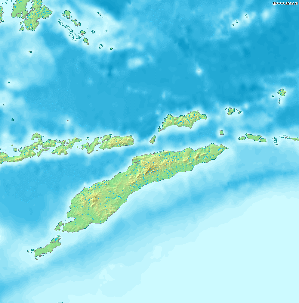
Map of Timor
Bounding box West 122°, South -12°, East 129°, North -5°. Center at 8°30′00″S 125°30′00″E / 8.50000°S 125.50000°E.
This image is in the public domain because it came from the site https://www.demis.nl/products/web-map-server/examples/ and was released by the copyright holder. Permission is granted to copy, distribute and/or modify this map since it is based on free of copyright images from: www.demis.nl. See also approval email on de.wp and its clarification.
|
| This work has been released into the public domain by its copyright holder, www.demis.nl. This applies worldwide. En alguns països això pot no ser legalment possible, en tal cas: www.demis.nl concedeix a tothom el dret d'usar aquesta obra per a qualsevol propòsit, sense cap condició llevat d'aquelles requerides per la llei.
|
Historial del fitxer
Cliqueu una data/hora per veure el fitxer tal com era aleshores.
| Data/hora | Miniatura | Dimensions | Usuari/a | Comentari | |
|---|---|---|---|---|---|
| actual | 09:53, 12 des 2006 | | 994 × 1.006 (208 Ko) | Mats Halldin~commonswiki (discussió | contribucions) | Map of Timor Bounding box West 122°, South -12°, East 129°, North -5°. Center at {{coor d|8.50000|S|125.50000|E|scale:4200000}}. {{demis-pd}} category:maps of East Timor |
No podeu sobreescriure aquest fitxer.
Ús del fitxer
Les 6 pàgines següents utilitzen aquest fitxer:
Ús global del fitxer
Utilització d'aquest fitxer en altres wikis:
- Utilització a ban.wikipedia.org
- Utilització a bn.wikipedia.org
- Utilització a cs.wikipedia.org
- Utilització a cy.wikipedia.org
- Utilització a de.wikipedia.org
- Utilització a de.wikivoyage.org
- Utilització a en.wikipedia.org
- Kupang
- Presidente Nicolau Lobato International Airport
- Atambua
- El Tari Airport
- Belu Regency
- Baucau Airport
- Oecusse Airport
- Noel Besi River
- Module:Location map/data/Timor/doc
- Halilulik
- Kefamenanu
- Kupang Regency
- South Central Timor Regency
- North Central Timor Regency
- Mina River (Indonesia)
- Pono River
- Soe, Timor
- Suai Airport
- Malaka Regency
- List of rivers of West Timor
- Module:Location map/data/Timor
- User:Ty654/List of earthquakes from 1975-1979 exceeding magnitude 6+
- User:Ty654/List of earthquakes from 1995-1999 exceeding magnitude 6+
- Atapupu
- Betun, Indonesia
- Raifatus, East Nusa Tenggara
- Batek Island
- Utilització a eo.wikipedia.org
- Utilització a es.wikipedia.org
- Utilització a fr.wikipedia.org
- Utilització a ha.wikipedia.org
- Utilització a ka.wikipedia.org
- Utilització a la.wikipedia.org
- Utilització a nl.wikipedia.org
- Utilització a no.wikipedia.org
- Utilització a pl.wikipedia.org
- Utilització a pt.wikipedia.org
Vegeu més usos globals d'aquest fitxer.