File:Tornealven.jpg
Salta a la navegació
Salta a la cerca
No hi ha cap versió amb una resolució més gran.
Tornealven.jpg (600 × 572 píxels, mida del fitxer: 419 Ko, tipus MIME: image/jpeg)
Llegendes
Llegendes
Afegeix una explicació d'una línia del que representa aquest fitxer
Resum
[modifica]
| Descripció |
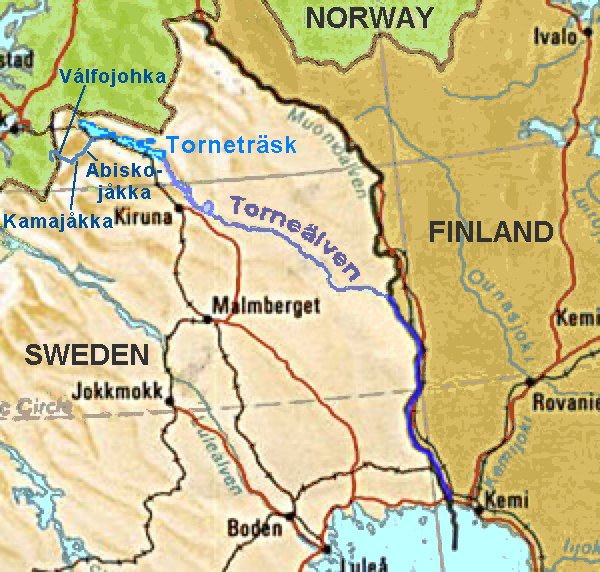
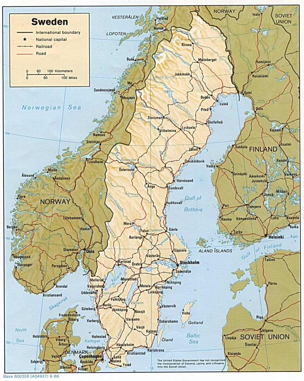
Map of northern Sweden showing location of en:Torne River From CIA mapping (full map is at http://www.lib.utexas.edu/maps/europe/sweden.jpg ) |
| Font | CIA |
| Autor | CIA |
| Altres versions | File:Tornealven.png |
Llicència
[modifica]
| This image is a work of a Central Intelligence Agency employee, taken or made as part of that person's official duties. As a Work of the United States Government, this image or media is in the public domain in the United States.
|

|
Registre original de càrregues
[modifica]
La pàgina de descripció original era aquí. Els noms d'usuari a continuació es refereixen a en.wikipedia.
- 2005-03-12 12:30 ChrisO 300×286×8 (49825 bytes) Map of northern Sweden showing location of [[Torne River]]
Historial del fitxer
Cliqueu una data/hora per veure el fitxer tal com era aleshores.
| Data/hora | Miniatura | Dimensions | Usuari/a | Comentari | |
|---|---|---|---|---|---|
| actual | 14:08, 18 abr 2014 | | 600 × 572 (419 Ko) | Ulamm (discussió | contribucions) | hydrological source added |
| 14:06, 3 abr 2007 |  | 300 × 286 (49 Ko) | Frokor (discussió | contribucions) | {{Information |Description=Map of northern Sweden showing location of en:Torne River From CIA mapping (full map is at http://www.lib.utexas.edu/maps/europe/sweden.jpg ) |Source=Originally from [http://en.wikipedia.org en.wikipedia]; description page |
No podeu sobreescriure aquest fitxer.
Ús del fitxer
Les 2 pàgines següents utilitzen aquest fitxer:
Ús global del fitxer
Utilització d'aquest fitxer en altres wikis:
- Utilització a af.wikipedia.org
- Utilització a bg.wikipedia.org
- Utilització a ca.wikipedia.org
- Utilització a cs.wikipedia.org
- Utilització a da.wikipedia.org
- Utilització a de.wikipedia.org
- Utilització a es.wikipedia.org
- Utilització a eu.wikipedia.org
- Utilització a fi.wikipedia.org
- Utilització a fr.wikipedia.org
- Utilització a he.wikipedia.org
- Utilització a hu.wikipedia.org
- Utilització a hy.wikipedia.org
- Utilització a incubator.wikimedia.org
- Utilització a it.wikipedia.org
- Utilització a ja.wikipedia.org
- Utilització a ka.wikipedia.org
- Utilització a lld.wikipedia.org
- Utilització a nl.wikipedia.org
- Utilització a nn.wikipedia.org
- Utilització a no.wikipedia.org
- Utilització a pt.wikipedia.org
- Utilització a ru.wikipedia.org
- Utilització a sr.wikipedia.org
- Utilització a sv.wikipedia.org
- Utilització a www.wikidata.org
- Utilització a xmf.wikipedia.org
- Utilització a zh.wikipedia.org