File:Trettach12.jpg
Jump to navigation
Jump to search

Size of this preview: 792 × 600 pixels. Other resolutions: 317 × 240 pixels | 634 × 480 pixels | 1,014 × 768 pixels | 1,280 × 969 pixels | 2,180 × 1,651 pixels.
Original file (2,180 × 1,651 pixels, file size: 3.08 MB, MIME type: image/jpeg)
Captions
Captions
Add a one-line explanation of what this file represents
Summary
[edit]
| Description |
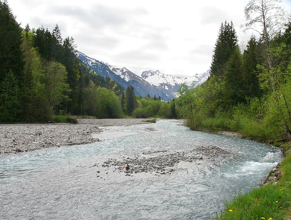
English: The Trettach is a 14 km long river in the Allgäu Alps in southwest Bavaria, Germany. View of the Trettach south of Oberstdorf near Gruben.
Deutsch: Die Trettach ist ein 14 km langer Fluss in den Allgäuer Alpen im südwestlichen Bayern, Deutschland. Im Bild: Die Trettach südlich von Oberstdorf bei Gruben. |
| Date | |
| Source | Own work |
| Author | Nikater |
| Permission (Reusing this file) |
Own work, all rights released (Public domain) |
| Camera location | | View this and other nearby images on: OpenStreetMap |
|---|
Licensing
[edit]
| I, the copyright holder of this work, release this work into the public domain. This applies worldwide. In some countries this may not be legally possible; if so: I grant anyone the right to use this work for any purpose, without any conditions, unless such conditions are required by law. |
| Annotations | This image is annotated: View the annotations at Commons |
File history
Click on a date/time to view the file as it appeared at that time.
| Date/Time | Thumbnail | Dimensions | User | Comment | |
|---|---|---|---|---|---|
| current | 20:45, 7 June 2012 | | 2,180 × 1,651 (3.08 MB) | Nikater (talk | contribs) | == {{int:filedesc}} == {{Information |Description={{en|1=The Trettach is a 14 km long river in the Allgäu Alps in southwest Bavaria, Germany. View of the Trettach south of Oberstdorf near Gruben... |
You cannot overwrite this file.
File usage on Commons
There are no pages that use this file.