File:Tutorial vector topo map 59.jpg
Original file (1,280 × 1,024 pixels, file size: 182 KB, MIME type: image/jpeg)
Captions
Captions
Summary[edit]
| Description |
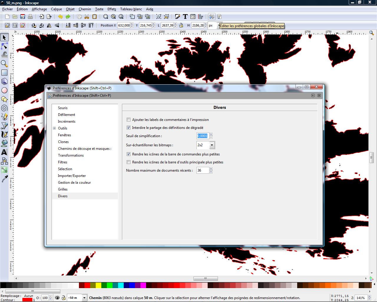
English: Screenshot made for the French speaking Atelier graphique showing a step of a tutorial made to learn how to create a vector topographic map using digital elevation model from the NASA.
Français : Capture d'écran réalisée dans le cadre de l´Atelier graphique montrant une étape d'un didacticiel destiné à apprendre à créer une carte topographique vectorielle à partir de modèles numériques de terrain de la NASA. |
| Date | |
| Source | self-made – software displayed : Inkscape |
| Author | Eric Gaba (Sting) |
Licensing[edit]
This screenshot either does not contain copyright-eligible parts or visuals of copyrighted software, or the author has released it under a free license (which should be indicated beneath this notice), and as such follows the licensing guidelines for screenshots of Wikimedia Commons. You may use it freely according to its particular license. Free software license:

|
This work is free software; you can redistribute it and/or modify it under the terms of the GNU General Public License as published by the Free Software Foundation; either version 2 of the License, or any later version. This work is distributed in the hope that it will be useful, but without any warranty; without even the implied warranty of merchantability or fitness for a particular purpose. See version 2 and version 3 of the GNU General Public License for more details. |
Note: if the screenshot shows any work that is not a direct result of the program code itself, such as a text or graphics that are not part of the program, the license for that work must be indicated separately.
File history
Click on a date/time to view the file as it appeared at that time.
| Date/Time | Thumbnail | Dimensions | User | Comment | |
|---|---|---|---|---|---|
| current | 03:00, 27 April 2008 | | 1,280 × 1,024 (182 KB) | Sting (talk | contribs) | Updated screenshot |
| 12:49, 26 April 2008 |  | 1,280 × 1,024 (146 KB) | Sting (talk | contribs) | == Summary == {{Information |Description= {{en|Screenshot made for the French speaking ''Atelier graphique'' showing a step of a tutorial made to learn how to create a vector topographic map using [[:en:digital elevati |
You cannot overwrite this file.
File usage on Commons
There are no pages that use this file.
File usage on other wikis
The following other wikis use this file:
- Usage on en.wikipedia.org
- Usage on fr.wikipedia.org
- Usage on tg.wikipedia.org