File:Txu-oclc-6614368-nn51-10.jpg
Jump to navigation
Jump to search

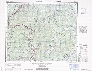
Size of this preview: 785 × 600 pixels. Other resolutions: 314 × 240 pixels | 628 × 480 pixels | 1,005 × 768 pixels | 1,280 × 978 pixels | 2,560 × 1,956 pixels | 5,000 × 3,821 pixels.
Original file (5,000 × 3,821 pixels, file size: 4.67 MB, MIME type: image/jpeg)
Captions
Captions
Add a one-line explanation of what this file represents
Summary[edit]
| Description |
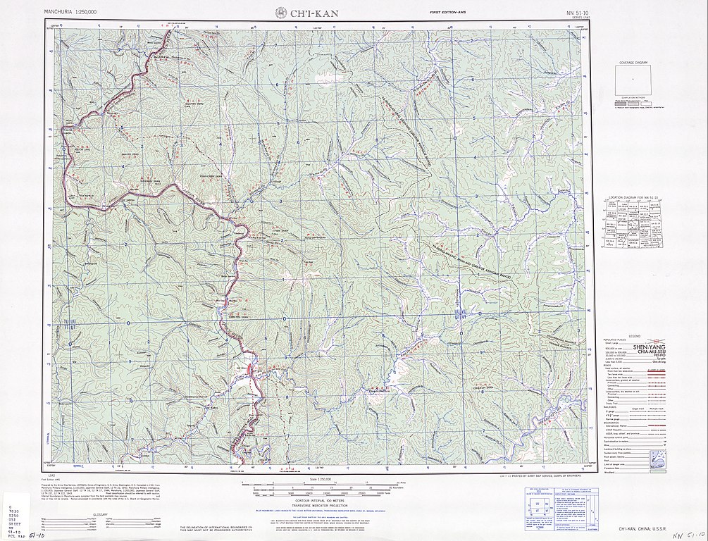
English: Map of Jiqian (Ch'i-kan) area, Inner Mongolia 中文(繁體):奇乾鄉與附近地區地圖 |
| Date | |
| Source | Courtesy of the University of Texas Libraries, The University of Texas at Austin. ([1]) |
| Author | Army Map Serivce, (AMS&S), Corps of Engineers, 1951 |
-
 Index Map

![[1]](http://legacy.lib.utexas.edu/maps/ams/manchuria/txu-oclc-6614368-nn51-10.jpg)
Licensing[edit]
This image or file is a work of a U.S. Army Corps of Engineers soldier or employee, taken or made as part of that person's official duties. As a work of the U.S. federal government, the image is in the public domain.
|
File history
Click on a date/time to view the file as it appeared at that time.
| Date/Time | Thumbnail | Dimensions | User | Comment | |
|---|---|---|---|---|---|
| current | 11:37, 12 September 2019 | | 5,000 × 3,821 (4.67 MB) | Geographyinitiative (talk | contribs) | User created page with UploadWizard |
You cannot overwrite this file.
File usage on Commons
There are no pages that use this file.
File usage on other wikis
The following other wikis use this file:
- Usage on en.wikipedia.org
- Usage on zh.wikipedia.org