File:U729 Ågersta - kmb.16000300012933.jpg
Jump to navigation
Jump to search

Size of this preview: 598 × 600 pixels. Other resolutions: 239 × 240 pixels | 479 × 480 pixels | 766 × 768 pixels | 1,021 × 1,024 pixels | 2,036 × 2,042 pixels.
Original file (2,036 × 2,042 pixels, file size: 1.09 MB, MIME type: image/jpeg)
Captions
Captions
Add a one-line explanation of what this file represents
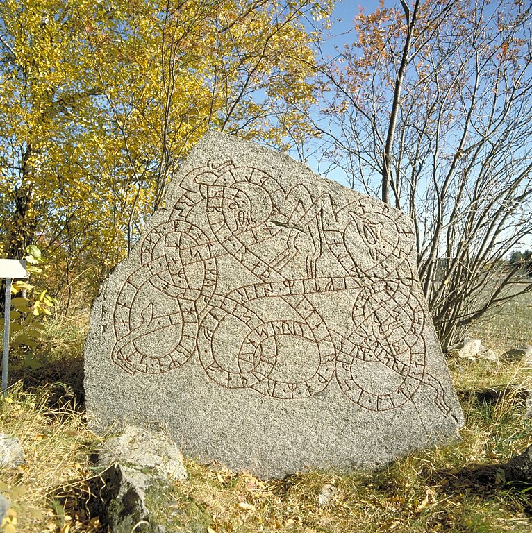
| U729 Ågersta
( |
|||||||||||||||||||||||||||
|---|---|---|---|---|---|---|---|---|---|---|---|---|---|---|---|---|---|---|---|---|---|---|---|---|---|---|---|
| Photographer |
Bengt A. Lundberg |
||||||||||||||||||||||||||
| Title |
U729 Ågersta |
||||||||||||||||||||||||||
| Original caption |
Notera Av dokumentationsskäl har originalbeskrivningen från Riksantikvarieämbetet behållits. Tillrättalägganden och alternativa beskrivningar bör införas separat från nedanstående information. Inskriften lyder: Vidhugse lät resa denna sten efter Särev, sin gode fader. Han bodde i Ågersta. Här skall stenen stå mellan byarna. Råde den man som runvis är, de runorna som Balle ristat.Felaktigheter kan även anmälas till denna sida. |
||||||||||||||||||||||||||
| Description | |||||||||||||||||||||||||||
| Depicted place | Sweden, Uppsala, Enköping, Löt (Uppland) | ||||||||||||||||||||||||||
| Date | 1 October 1986 | ||||||||||||||||||||||||||
| Collection |
|
||||||||||||||||||||||||||
| Accession number | |||||||||||||||||||||||||||
| Source | Kulturmiljöbild, Riksantikvarieämbetet | ||||||||||||||||||||||||||
| Permission (Reusing this file) |
|
||||||||||||||||||||||||||


| Object location | | View this and other nearby images on: OpenStreetMap |
|---|
.jpg)
.jpg)
File history
Click on a date/time to view the file as it appeared at that time.
| Date/Time | Thumbnail | Dimensions | User | Comment | |
|---|---|---|---|---|---|
| current | 22:21, 11 December 2021 | | 2,036 × 2,042 (1.09 MB) | Macuser (talk | contribs) | Cropped 34 % horizontally, < 1 % vertically using CropTool with lossless mode. |
| 17:38, 3 December 2021 |  | 3,072 × 2,048 (1.14 MB) | Mårtensås (talk | contribs) | Much higher resolution | |
| 11:38, 25 April 2014 |  | 510 × 512 (195 KB) | Jssfrk (talk | contribs) | Cropped 34 % horizontally and < 1 % vertically using CropTool with precise mode. | |
| 16:37, 31 January 2014 |  | 768 × 512 (98 KB) | Macuser (talk | contribs) | {{Kulturmiljöbild-image |short title = U729 Ågersta |original description = Inskriften lyder: Vidhugse lät resa denna sten efter Särev, sin gode fader. Han bodde i Ågersta. Här skall stenen stå mellan byarna. Råde den man som runvis är, de run... |
You cannot overwrite this file.
File usage on Commons
The following 4 pages use this file:
File usage on other wikis
The following other wikis use this file:
- Usage on da.wikipedia.org
- Bruger:Palnatoke/Autolister/Runer/Runesten
- Bruger:Palnatoke/Autolister/Runer/Runesten i Rundata-nummerorden
- Bruger:Palnatoke/Autolister/Runer/Runeindskrifter
- Bruger:Palnatoke/Autolister/Runer/Runeindskrifter i Rundata-nummerorden
- Bruger:Palnatoke/Autolister/Runer/Runeindskrifter (rister og tekst)
- Bruger:Palnatoke/Autolister/Runer/Vikingeartefakter
- Usage on no.wikipedia.org
- Usage on pt.wikipedia.org
- Usage on sv.wikipedia.org
- Usage on www.wikidata.org