File:US-KY - Arlington - North America - Road Trip - Arrow - The South - Rain (4892064702).jpg
Jump to navigation
Jump to search
Size of this preview: 800 × 600 pixels. Other resolutions: 320 × 240 pixels | 640 × 480 pixels | 1,024 × 768 pixels | 1,280 × 960 pixels | 2,560 × 1,920 pixels | 4,000 × 3,000 pixels.
Original file (4,000 × 3,000 pixels, file size: 6.16 MB, MIME type: image/jpeg)
Captions
Captions
Add a one-line explanation of what this file represents
Summary[edit]
.jpg&action=edit§ion=1)
| Description |
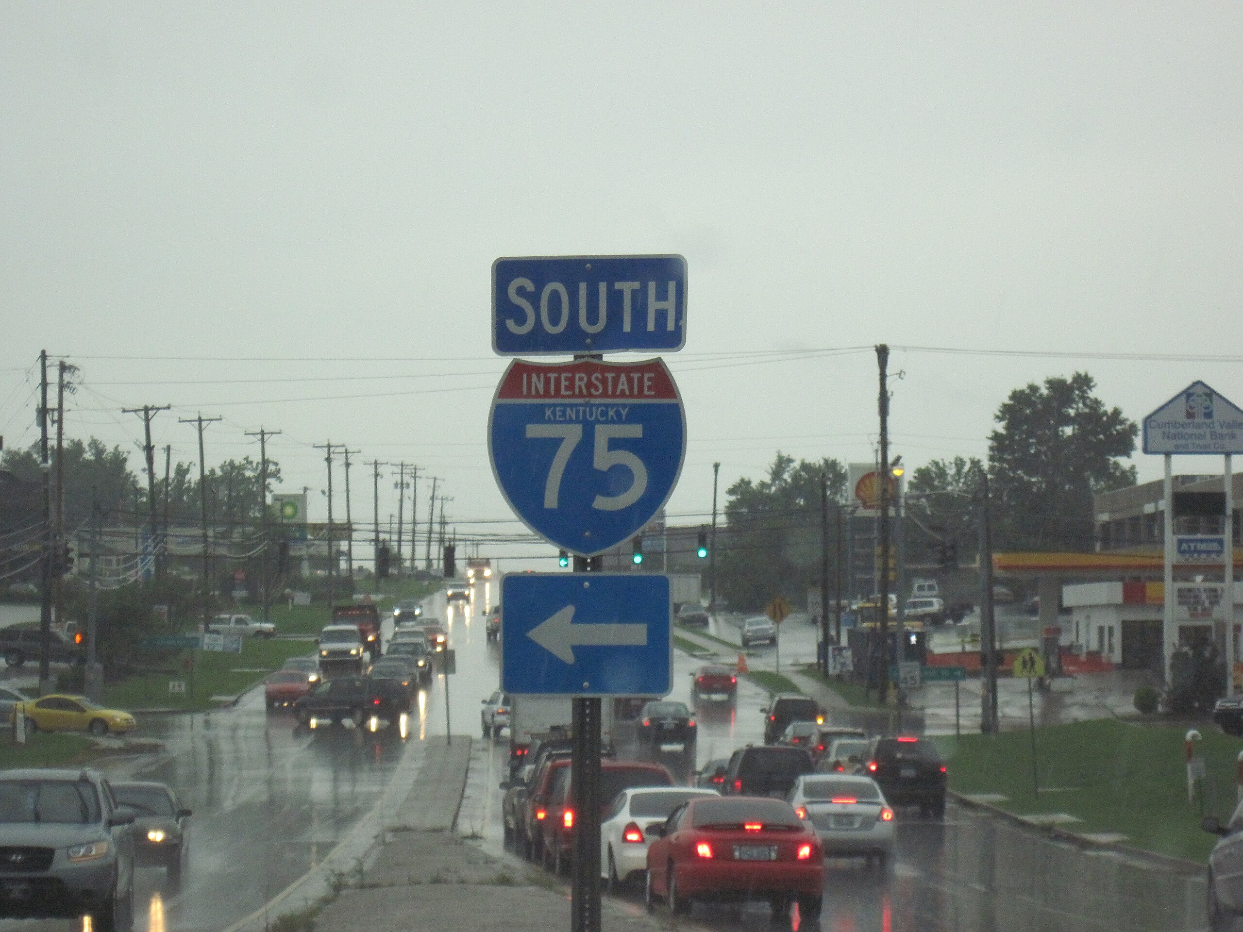
north america, road trip, arrow, the south, rain, flood, kentucky, storm, interstate highway system, south, I75 | ||
| Address |
|
||
| Date | |||
| Source | 2009-08-04T17-12-02 -- IMG_0338 | ||
| Author | CGP Grey |
| Camera location | | View this and other nearby images on: OpenStreetMap |
|---|
.jpg¶ms=037.775500_N_-084.317500_E_globe:Earth_type:camera_alt:279.3_source:exif_&language=en)
Licensing[edit]
.jpg&action=edit§ion=2)
This file is licensed under the Creative Commons Attribution 2.0 Generic license.
Attribution: http://www.cgpgrey.com
- You are free:
- to share – to copy, distribute and transmit the work
- to remix – to adapt the work
- Under the following conditions:
- attribution – You must give appropriate credit, provide a link to the license, and indicate if changes were made. You may do so in any reasonable manner, but not in any way that suggests the licensor endorses you or your use.
| This image, originally posted to Flickr, was reviewed on 12 December 2014 by the administrator or reviewer RP88, who confirmed that it was available on Flickr under the stated license on that date. |
File history
Click on a date/time to view the file as it appeared at that time.
| Date/Time | Thumbnail | Dimensions | User | Comment | |
|---|---|---|---|---|---|
| current | 17:28, 12 December 2014 | 4,000 × 3,000 (6.16 MB) | 1Veertje (talk | contribs) | {{rename|US-KY - Arlington - North America - Road Trip - Arrow - The South - Rain (4892064702).jpg|2}} =={{int:filedesc}}== {{Information | Description = north america, road trip, arrow, the south, rain, flood, kentucky, storm, interstate highway system |
You cannot overwrite this file.
File usage on Commons
The following 2 pages use this file:
File usage on other wikis
The following other wikis use this file:
- Usage on ar.wikipedia.org
- Usage on arz.wikipedia.org
- Usage on ca.wikipedia.org
- Usage on ceb.wikipedia.org
- Usage on ce.wikipedia.org
- Usage on da.wikipedia.org
- Usage on es.wikipedia.org
- Usage on eu.wikipedia.org
- Usage on fr.wikipedia.org
- Usage on ht.wikipedia.org
- Usage on hu.wikipedia.org
- Usage on it.wikipedia.org
- Usage on ky.wikipedia.org
- Usage on lld.wikipedia.org
- Usage on nl.wikipedia.org
- Usage on pl.wikipedia.org
- Usage on pt.wikipedia.org
- Usage on sr.wikipedia.org
- Usage on tt.wikipedia.org
- Usage on www.wikidata.org
- Usage on zh-min-nan.wikipedia.org
.jpg&oldid=691785188)