File:USA Hawaii island chain location map.svg
跳至導覽
跳至搜尋

此 SVG 檔案的 PNG 預覽的大小:800 × 454 像素。 其他解析度:320 × 181 像素 | 640 × 363 像素 | 1,024 × 581 像素 | 1,280 × 726 像素 | 2,560 × 1,452 像素 | 1,476 × 837 像素。
原始檔案 (SVG 檔案,表面大小:1,476 × 837 像素,檔案大小:33 KB)
說明
說明
添加單行說明來描述出檔案所代表的內容
摘要[編輯]
| 描述 |
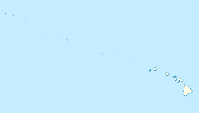
Quadratische Plattkarte, N-S-Streckung 109 %. Geographische Begrenzung der Karte:
Equirectangular projection, N/S stretching 109 %. Geographic limits of the map:
|
|
| 日期 | ||
| 來源 |
自己的作品, using
|
|
| 作者 | NordNordWest | |
| 授權許可 (重用此檔案) |
此檔案採用創用CC 姓名標示-相同方式分享 3.0 德國授權條款。
 此檔案採用創用CC 姓名標示-相同方式分享 3.0 德國授權條款。
|


|
|
檔案歷史
點選日期/時間以檢視該時間的檔案版本。
| 日期/時間 | 縮圖 | 尺寸 | 使用者 | 備註 | |
|---|---|---|---|---|---|
| 目前 | 2012年10月14日 (日) 17:24 | | 1,476 × 837(33 KB) | NordNordWest(留言 | 貢獻) | Reverted to version as of 18:31, 13 November 2009; grey lines are reefs, not islands |
| 2012年10月14日 (日) 00:10 |  | 1,476 × 837(33 KB) | Grolltech(留言 | 貢獻) | more consistent line weights and colors | |
| 2009年11月13日 (五) 18:31 |  | 1,476 × 837(33 KB) | NordNordWest(留言 | 貢獻) | {{int:filedesc}} {{Information |Description= {{de|Positionskarte der gesamten Inselkette Hawaii, USA}} Quadratische Plattkarte, N-S-Streckung 109 %. Geographische Begrenzung der Karte: * N: 30° N * S: 17° N * W: 179° W * O: 1 |
無法覆蓋此檔案。
檔案用途
下列頁面有用到此檔案:
全域檔案使用狀況
以下其他 wiki 使用了這個檔案:
- ar.wikipedia.org 的使用狀況
- az.wikipedia.org 的使用狀況
- be.wikipedia.org 的使用狀況
- bn.wikipedia.org 的使用狀況
- ceb.wikipedia.org 的使用狀況
- Plantilya:Location map USA Hawaiian Islands
- Kahoma Ditch
- Kahua Ditch
- Kahului Airport
- Kailua Ditch
- Kalaupapa Airport
- Kaluanui Ditch
- Kama Ditch
- Kamananui Ditch
- Kamenehune Ditch
- Kamooloa Ditch
- Kanaha Ditch
- Kaneha Ditch
- Kapahi Ditch
- Kapālama Drainage Canal
- Kapalua Airport
- Kaua‘ula Ditch
- Kauhikoa Ditch (kanal sa Tinipong Bansa, lat 20,84, long -156,37)
- Kauhikoa Ditch (kanal sa Tinipong Bansa, lat 20,86, long -156,36)
- Ka‘ula
- Kawainui Canal
- Kawano Ditch
- Kawela Intake
- Keālia Ditch
- Kehena Ditch
- Kekaha Airstrip
- Kekaha Ditch
- Kelana Ditch
- Kemoo Ditch Tunnel
- Kipapa (kanal sa Tinipong Bansa)
- Kittery Island (pulo sa Tinipong Bansa, Hawaii)
- Kohala Ditch
- Kōke‘e Ditch
- Kōloa Ditch
檢視此檔案的更多全域使用狀況。