File:USA Rhode Island location map.svg
跳至導覽
跳至搜尋

此 SVG 檔案的 PNG 預覽的大小:445 × 599 像素。 其他解析度:178 × 240 像素 | 356 × 480 像素 | 570 × 768 像素 | 760 × 1,024 像素 | 1,520 × 2,048 像素 | 758 × 1,021 像素。
原始檔案 (SVG 檔案,表面大小:758 × 1,021 像素,檔案大小:91 KB)
說明
說明
添加單行說明來描述出檔案所代表的內容
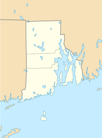
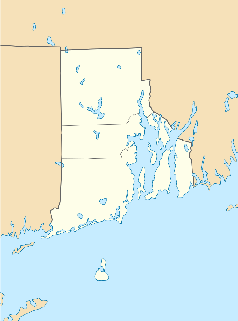
Rhode Island (USA) location map.
摘要
[編輯]
| 描述 |
Quadratische Plattkarte, N-S-Streckung 135 %. Geographische Begrenzung der Karte:
Equirectangular projection, N/S stretching 135 %. Geographic limits of the map:
|
| 日期 | 2009年6月11日 (上傳日期) |
| 來源 |
own work, using
|
| 作者 | NordNordWest |
| 其他版本 |
Derivative works of this file: |

|
|
授權條款
[編輯]
我,本作品的著作權持有者,決定用以下授權條款發佈本作品:

|
已授權您依據自由軟體基金會發行的無固定段落、封面文字和封底文字GNU自由文件授權條款1.2版或任意後續版本,對本檔進行複製、傳播和/或修改。該協議的副本列在GNU自由文件授權條款中。 |
此檔案採用創用CC 姓名標示 3.0 未在地化版本授權條款。
- 您可以自由:
- 分享 – 複製、發佈和傳播本作品
- 重新修改 – 創作演繹作品
- 惟需遵照下列條件:
- 姓名標示 – 您必須指名出正確的製作者,和提供授權條款的連結,以及表示是否有對內容上做出變更。您可以用任何合理的方式來行動,但不得以任何方式表明授權條款是對您許可或是由您所使用。
您可以選擇您需要的授權條款。
檔案歷史
點選日期/時間以檢視該時間的檔案版本。
| 日期/時間 | 縮圖 | 尺寸 | 用戶 | 備註 | |
|---|---|---|---|---|---|
| 目前 | 2009年6月11日 (四) 18:51 | | 758 × 1,021(91 KB) | NordNordWest(對話 | 貢獻) | {{Information |Description= {{de|Positionskarte von Rhode Island, USA}} Quadratische Plattkarte, N-S-Streckung 135 %. Geographische Begrenzung der Karte: * N: 42.2° N * S: 41.0° N * W: 72.1° W * O: 70.9° W {{en|Locatio |
無法覆蓋此檔案。
檔案用途
下列25個頁面有用到此檔案:
- User:NordNordWest/Gallery/Location maps
- File:BJ's Gas Station locations 2020 December.png
- File:BJ's store locations.png
- File:BJ's store locations 2020 December.png
- File:Bristol County in Rhode Island.svg
- File:Citgo locations 2020 September.png
- File:Costco footprint map USA 2021-01.png
- File:Dollar Tree footprint map 2020-12.png
- File:Family Dollar footprint map 2020-12.png
- File:Kent County in Rhode Island.svg
- File:Newport County in Rhode Island.svg
- File:Providence County in Rhode Island.svg
- File:Rhode Island, administrative divisions - Nmbrs - colored.svg
- File:Rhode Island, administrative divisions - Nmbrs - monochrome.svg
- File:Rhode Island, administrative divisions - he - colored.svg
- File:Rhode Island, administrative divisions - he - monochrome.svg
- File:Save-A-Lot footprint map.png
- File:Speedway Footprint 2020 August.png
- File:Speedway Jun2018 to Aug2020 comparison.png
- File:Target stores footprint 2020-12.png
- File:USA Rhode Island relief location map.svg
- File:Valero brands branded gas stations 2020-12.png
- File:Walmart branded fuel stations map 2020-12.png
- File:Walmart locations with on-site fuel stations map 2020-20.png
- File:Washington County in Rhode Island.svg
全域檔案使用狀況
以下其他 wiki 使用了這個檔案:
- an.wikipedia.org 的使用狀況
- ar.wikipedia.org 的使用狀況
- azb.wikipedia.org 的使用狀況
- az.wikipedia.org 的使用狀況
- be-tarask.wikipedia.org 的使用狀況
- bg.wikipedia.org 的使用狀況
- bn.wikipedia.org 的使用狀況
- টেমপ্লেট:অবস্থান মানচিত্র মার্কিন যুক্তরাষ্ট্রের রোড আইল্যান্ড
- ফস্টার-পেইন হাউস
- ১৭৬১ মাইলস্টোন
- পঞ্চম ওয়ার্ড ওয়ার্ডরুম
- ফায়ার স্টেশন নং ৪ (পটাকেট, রোডি আইল্যান্ড)
- ব্রাউন স্টেডিয়াম
- মডিউল:অবস্থান মানচিত্র/উপাত্ত/মার্কিন যুক্তরাষ্ট্র রোড আইল্যান্ড
- মডিউল:অবস্থান মানচিত্র/উপাত্ত/মার্কিন যুক্তরাষ্ট্র রোড আইল্যান্ড/নথি
- ca.wikipedia.org 的使用狀況
- ceb.wikipedia.org 的使用狀況
- ce.wikipedia.org 的使用狀況
- cs.wikipedia.org 的使用狀況
- de.wikipedia.org 的使用狀況
- Middletown (Rhode Island)
- Portsmouth (Rhode Island)
- Newport (Rhode Island)
- Providence
- Narragansett (Rhode Island)
- Charlestown (Rhode Island)
- Johnston (Rhode Island)
- Cranston (Rhode Island)
- Barrington (Rhode Island)
- Kingston (Rhode Island)
- Amica Mutual Pavilion
- Warwick (Rhode Island)
- Vorlage:Positionskarte USA Rhode Island
- Woonsocket (Rhode Island)
- Bradford (Rhode Island)
- Bristol (Rhode Island)
- Central Falls
- Coventry (Rhode Island)
- Cumberland (Rhode Island)
檢視此檔案的更多全域使用狀況。