File:US 206.svg
Jump to navigation
Jump to search

Size of this PNG preview of this SVG file: 750 × 600 pixels. Other resolutions: 300 × 240 pixels | 600 × 480 pixels | 960 × 768 pixels | 1,280 × 1,024 pixels | 2,560 × 2,048 pixels.
Original file (SVG file, nominally 750 × 600 pixels, file size: 8 KB)
Captions
Captions
Add a one-line explanation of what this file represents
Summary
[edit]
| Description |
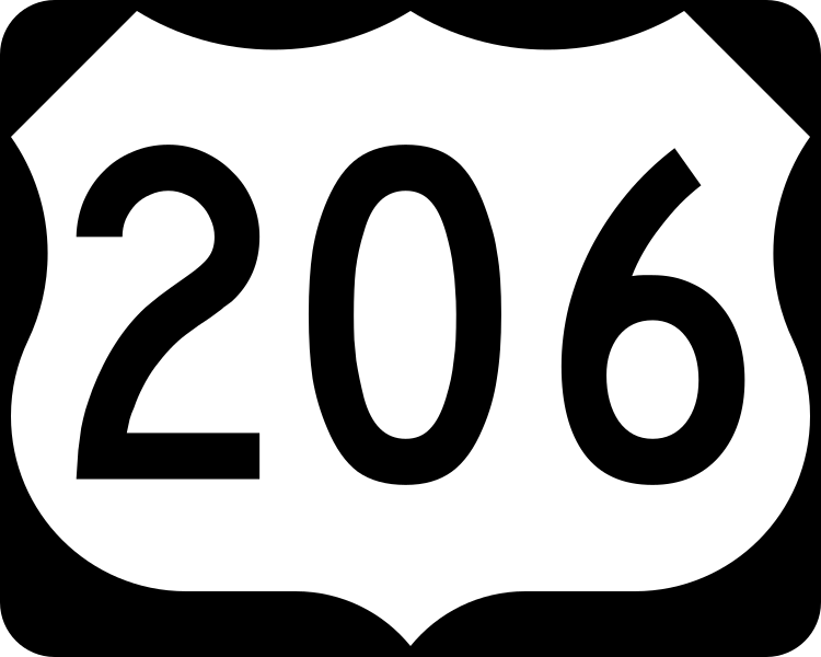
English: 750 mm × 600 mm (30 in × 24 in) U.S. Highway shield, made to the specifications of the 2004 edition of Standard Highway Signs. (Note that there is a missing "J" label on the left side of the diagram.) Uses the Roadgeek 2005 fonts. (United States law does not permit the copyrighting of typeface designs, and the fonts are meant to be copies of a U.S. Government-produced work anyway.) |
| Date | (UTC) |
| Source | 2004 MUTCD Standard Highway Signs |
| Author | Fredddie, originally SPUI |
Licensing
[edit]
This file is in the public domain because it comes from the Manual on Uniform Traffic Control Devices, sign number M1-4, which states specifically on page I-1 that:
|
.svg) |
File history
Click on a date/time to view the file as it appeared at that time.
| Date/Time | Thumbnail | Dimensions | User | Comment | |
|---|---|---|---|---|---|
| current | 01:29, 26 August 2017 | | 750 × 600 (8 KB) | Fredddie (talk | contribs) | |
| 07:48, 27 January 2006 |  | 750 × 600 (5 KB) | SPUI~commonswiki (talk | contribs) | {{spuiother}} 750 mm by 600 mm (30 in by 24 in) U.S. Route shield, made to the specifications of the [http://mutcd.fhwa.dot.gov/SHSm/Guide.pdf 2004 edition of Standard Highway Signs]. (Note that there is a missing "J" label on the left side of the diagram |
You cannot overwrite this file.
File usage on Commons
The following 4 pages use this file:
File usage on other wikis
The following other wikis use this file:
- Usage on bn.wikipedia.org
- Usage on de.wikipedia.org
- Usage on en.wikipedia.org
- Interstate 95
- New Jersey Turnpike
- New Jersey Route 28
- New Jersey Route 27
- New Jersey Route 38
- Interstate 80
- Appalachian Trail
- Pike County, Pennsylvania
- New Jersey Route 70
- List of United States Numbered Highways
- New Jersey Route 15
- New Jersey Route 31
- New Jersey Route 54
- New Jersey Route 68
- U.S. Route 130
- New Jersey Route 129
- U.S. Route 206
- New Jersey Route 94
- U.S. Route 30
- U.S. Route 46
- New Jersey Route 208
- County Route 583 (New Jersey)
- New York metropolitan area
- Delaware Valley
- New Jersey Pine Barrens
- U.S. Route 202
- Northeast Corridor Line
- Interstate 287
- Interstate 295 (Delaware–Pennsylvania)
- Calhoun Street Extension
- Interstate 195 (New Jersey)
- Somerville Circle
- Raritan Valley Line
- Milford–Montague Toll Bridge
- Dingman's Ferry Bridge
- Lackawanna Cut-Off
- New Jersey Route 92
- Interstate 95 in New Jersey
- Interstate 80 in New Jersey
- Interstate 78 in New Jersey
- U.S. Route 1 Business (Trenton, New Jersey)
- List of crossings of the Delaware River
- County Route 569 (New Jersey)
- County Route 565 (New Jersey)
- County Route 563 (New Jersey)
View more global usage of this file.