File:United States Geological Survey Map Chehalis River, Published 1992.jpg
Jump to navigation
Jump to search

Size of this preview: 800 × 569 pixels. Other resolutions: 320 × 228 pixels | 640 × 455 pixels | 1,024 × 729 pixels | 1,280 × 911 pixels | 2,560 × 1,822 pixels | 5,732 × 4,079 pixels.
Original file (5,732 × 4,079 pixels, file size: 6.14 MB, MIME type: image/jpeg)
Captions
Captions
Add a one-line explanation of what this file represents
Summary
[edit]
| Description |
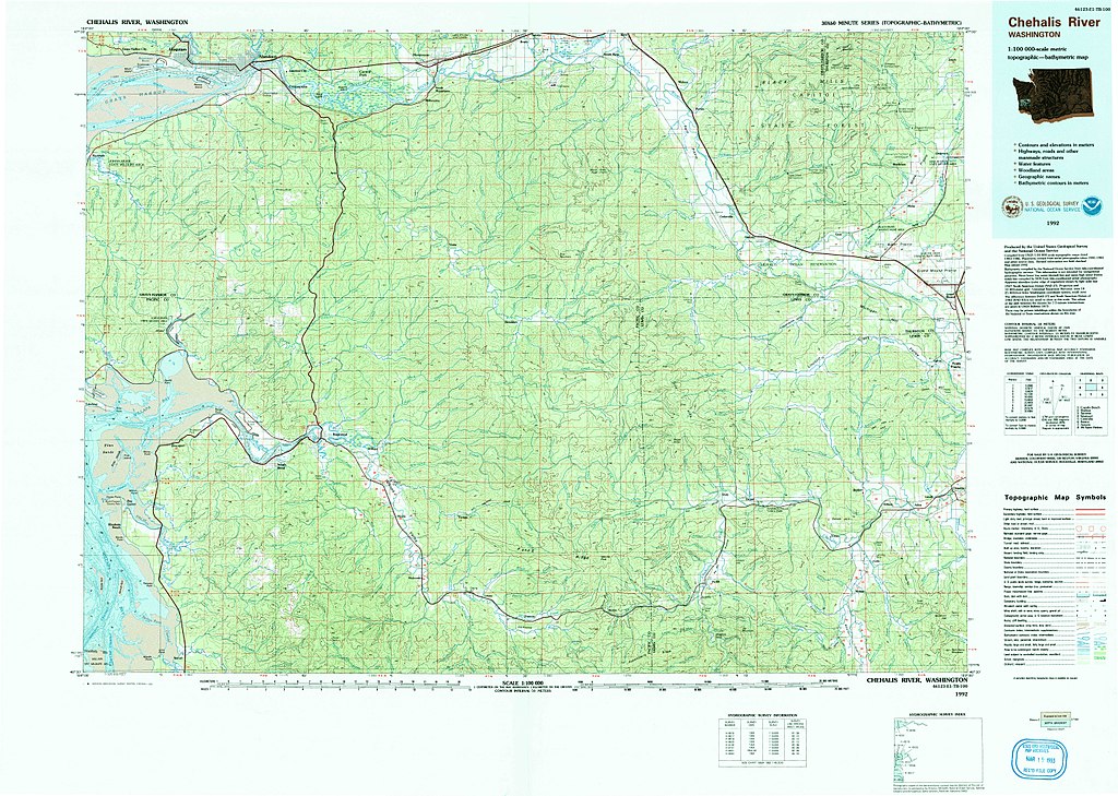
English: 1:100000 USGS "Chehalis River" topographic map
46123-E1-TB-100 |
| Date | |
| Source | USGS via topoView |
| Author | United States Geological Survey |
| Other versions |
File:Rennie Island in Grays Harbor.jpg  |
Licensing
[edit]
This image is in the public domain in the United States because it only contains materials that originally came from the United States Geological Survey, an agency of the United States Department of the Interior. For more information, see the official USGS copyright policy.
|
File history
Click on a date/time to view the file as it appeared at that time.
| Date/Time | Thumbnail | Dimensions | User | Comment | |
|---|---|---|---|---|---|
| current | 03:29, 17 May 2018 | | 5,732 × 4,079 (6.14 MB) | Bri (talk | contribs) | User created page with UploadWizard |
You cannot overwrite this file.
File usage on Commons
There are no pages that use this file.