File:VA 9th Congressional District.png
Jump to navigation
Jump to search
No higher resolution available.
VA_9th_Congressional_District.png (636 × 381 pixels, file size: 80 KB, MIME type: image/png)
Captions
Captions
Add a one-line explanation of what this file represents
Summary[edit]
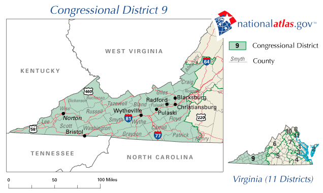
| Description | Map of Virginia's 9th congressional district. Downloaded from http://nationalatlas.gov/printable/images/preview/congdist/va09_109.gif and converted to PNG. |
| Date | 00:58:24(UTC) |
| Source | Downloaded from http://nationalatlas.gov/printable/images/preview/congdist/va09_109.gif and converted to PNG. |
| Author | Acntx |
Licensing[edit]
This map was obtained from an edition of the National Atlas of the United States. Like almost all works of the U.S. federal government, works from the National Atlas are in the public domain in the United States.
Online access: NationalAtlas.gov | 1970 print edition: Library of Congress, Perry-Castañeda Library
|
Original upload log[edit]
The original description page was here. All following user names refer to en.wikipedia.
Upload date | User | Bytes | Dimensions | Comment
- 2007-02-10 09:09:15 | Acntx | 81595 | 636×381 |
File history
Click on a date/time to view the file as it appeared at that time.
| Date/Time | Thumbnail | Dimensions | User | Comment | |
|---|---|---|---|---|---|
| current | 00:58, 7 January 2012 | | 636 × 381 (80 KB) | Grondemar (talk | contribs) | {{Information |Description ={{en|1=xxxxx}} |Source =xxxxx |Author =xxxxx |Date =xxxxx |Permission =xxxxx |other_versions =xxxxx }} xxxxx |
You cannot overwrite this file.
File usage on Commons
There are no pages that use this file.
File usage on other wikis
The following other wikis use this file:
- Usage on en.wikipedia.org
- 2006 United States House of Representatives elections in Virginia
- Virginia's 9th congressional district
- 2008 United States House of Representatives elections in Virginia
- 2002 United States House of Representatives elections in Virginia
- 2004 United States House of Representatives elections in Virginia