File:View of south tower, facing north-northeast from south bank of the Columbia River. Center tower and north tower in background, lower right. - Pasco-Kennewick Transmission Line, HAER WASH,3-KENN,1-5.tif
Перейти к навигации
Перейти к поиску

Размер этого JPG-превью для исходного TIF-файла: 487 × 599 пкс. Другие разрешения: 195 × 240 пкс | 390 × 480 пкс | 624 × 768 пкс | 832 × 1024 пкс | 1665 × 2048 пкс | 4065 × 5000 пкс.
Исходный файл (4065 × 5000 пкс, размер файла: 19,39 МБ, MIME-тип: image/tiff)
Краткие подписи
Краткие подписи
Добавьте однострочное описание того, что собой представляет этот файл
Краткое описание
[править]| Фотограф |
Rice, Harvey S., creator |
|||
| Название |
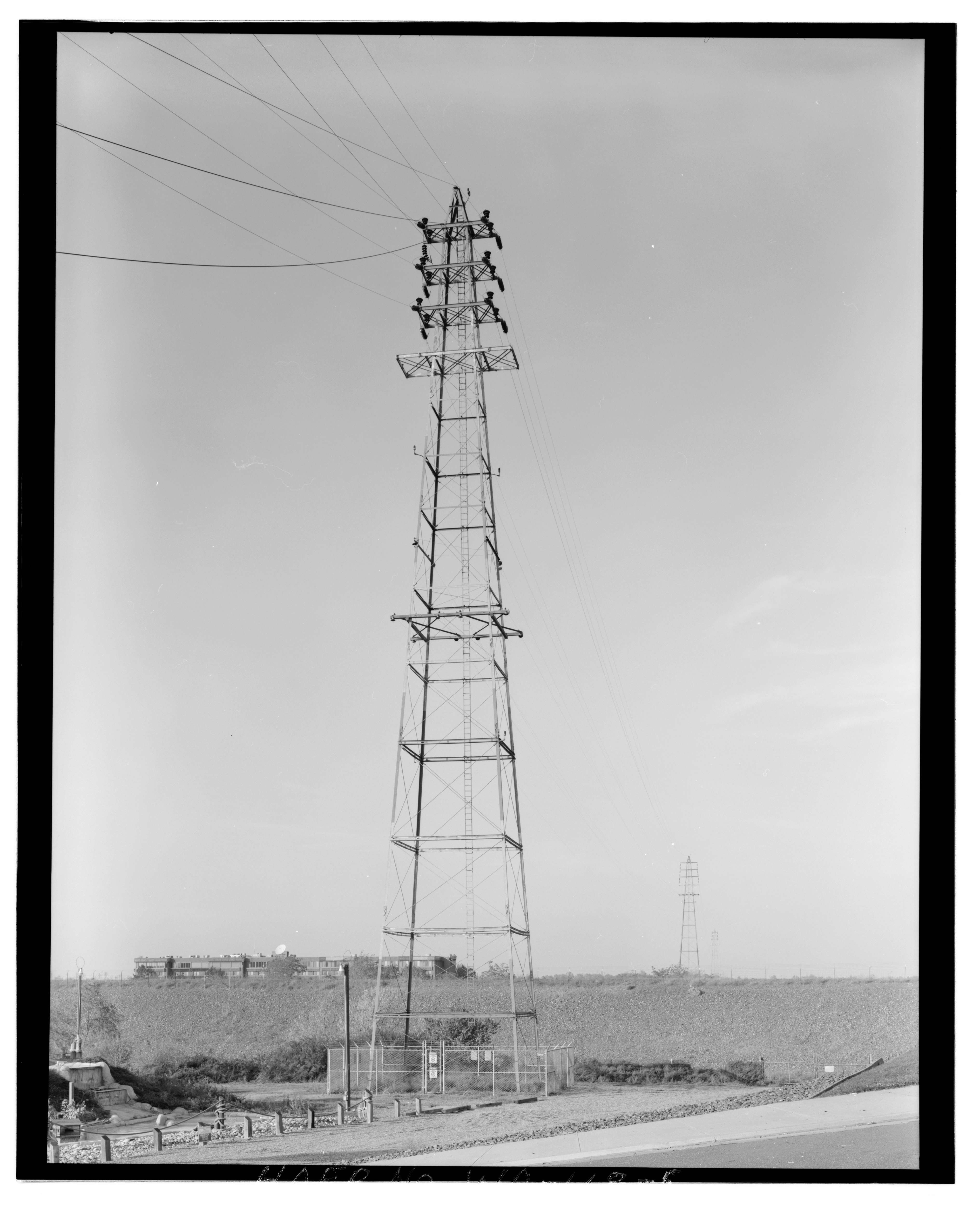
View of south tower, facing north-northeast from south bank of the Columbia River. Center tower and north tower in background, lower right. - Pasco-Kennewick Transmission Line, Columbia River Crossing Towers, Columbia Drive and Gum Street, Kennewick, Benton County, WA |
|||
| Изображённое место | Washington; Benton County; Kennewick | |||
| Дата | 1993 | |||
| Размеры | 4 x 5 in. | |||
| Текущее местонахождение |
Library of Congress Prints and Photographs Division Washington, D.C. 20540 USA http://hdl.loc.gov/loc.pnp/pp.print |
|||
| Инвентарный номер |
HAER WASH,3-KENN,1-5 |
|||
| Дополнительная информация |
|
|||
| Примечания |
|
|||
| Источник | https://www.loc.gov/pictures/item/wa0488.photos.370699p | |||
| Права (Повторное использование этого файла) |
|

История файла
Нажмите на дату/время, чтобы увидеть версию файла от того времени.
| Дата/время | Миниатюра | Размеры | Участник | Примечание | |
|---|---|---|---|---|---|
| текущий | 21:38, 4 августа 2014 |  | 4065 × 5000 (19,39 МБ) | Fæ (обсуждение | вклад) | GWToolset: Creating mediafile for Fæ. HABS 2014-08-04 (3601:3800) Penultimate Tranche! |
Вы не можете перезаписать этот файл.
Использование файла
Следующая страница использует этот файл: