File:WLM14ES - Ruta de los Molinos, Campo de Criptana, Castilla-La Mancha - MARIA ROSA FERRE.jpg
Jump to navigation
Jump to search
No higher resolution available.
WLM14ES_-_Ruta_de_los_Molinos,_Campo_de_Criptana,_Castilla-La_Mancha_-_MARIA_ROSA_FERRE.jpg (700 × 459 pixels, file size: 161 KB, MIME type: image/jpeg)
Captions
Captions
Add a one-line explanation of what this file represents

Summary
[edit]
| Description |
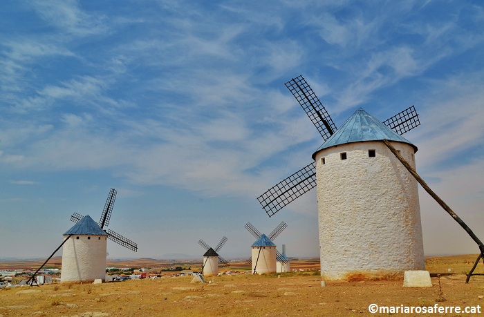
Ruta de los Molinos, Campo de Criptana, Castilla-La Mancha
|
||
| Date | |||
| Source | Ruta de los Molinos, Campo de Criptana, Castilla-La Mancha | ||
| Author | MARIA ROSA FERRE ✿ from Vilafranca del penedes, Catalunya |
| Camera location | | View this and other nearby images on: OpenStreetMap |
|---|
Licensing
[edit]
This file is licensed under the Creative Commons Attribution-Share Alike 2.0 Generic license.
- You are free:
- to share – to copy, distribute and transmit the work
- to remix – to adapt the work
- Under the following conditions:
- attribution – You must give appropriate credit, provide a link to the license, and indicate if changes were made. You may do so in any reasonable manner, but not in any way that suggests the licensor endorses you or your use.
- share alike – If you remix, transform, or build upon the material, you must distribute your contributions under the same or compatible license as the original.
| This image, originally posted to Flickr, was reviewed on 9 October 2014 by the administrator or reviewer Superzerocool, who confirmed that it was available on Flickr under the stated license on that date. |

|
This image was uploaded as part of Wiki Loves Monuments 2014.
|
File history
Click on a date/time to view the file as it appeared at that time.
| Date/Time | Thumbnail | Dimensions | User | Comment | |
|---|---|---|---|---|---|
| current | 17:44, 9 October 2014 | | 700 × 459 (161 KB) | Superzerocool (talk | contribs) | == {{int:filedesc}} == {{Information |Description=Ruta de los Molinos, Campo de Criptana, Castilla-La Mancha {{BIC|RI-540000145}} |Source=[https://www.flickr.com/photos/mrosa-ferre/7839430990/ Ruta de los Molinos, Campo de Criptana, Castilla-La Mancha]... |
You cannot overwrite this file.
File usage on Commons
There are no pages that use this file.