File:West Midlands UK locator map 2010.svg
Przejdź do nawigacji
Przejdź do wyszukiwania

Wielkość pliku podglądu PNG dla pliku SVG: 494 × 600 pikseli Inne rozdzielczości: 198 × 240 pikseli | 395 × 480 pikseli | 633 × 768 pikseli | 843 × 1024 pikseli | 1687 × 2048 pikseli | 1108 × 1345 pikseli.
Rozmiar pierwotny (Plik SVG, nominalnie 1108 × 1345 pikseli, rozmiar pliku: 302 KB)
Podpisy
Podpisy
Dodaj jednolinijkowe objaśnienie tego, co ten plik pokazuje
Opis[edytuj]
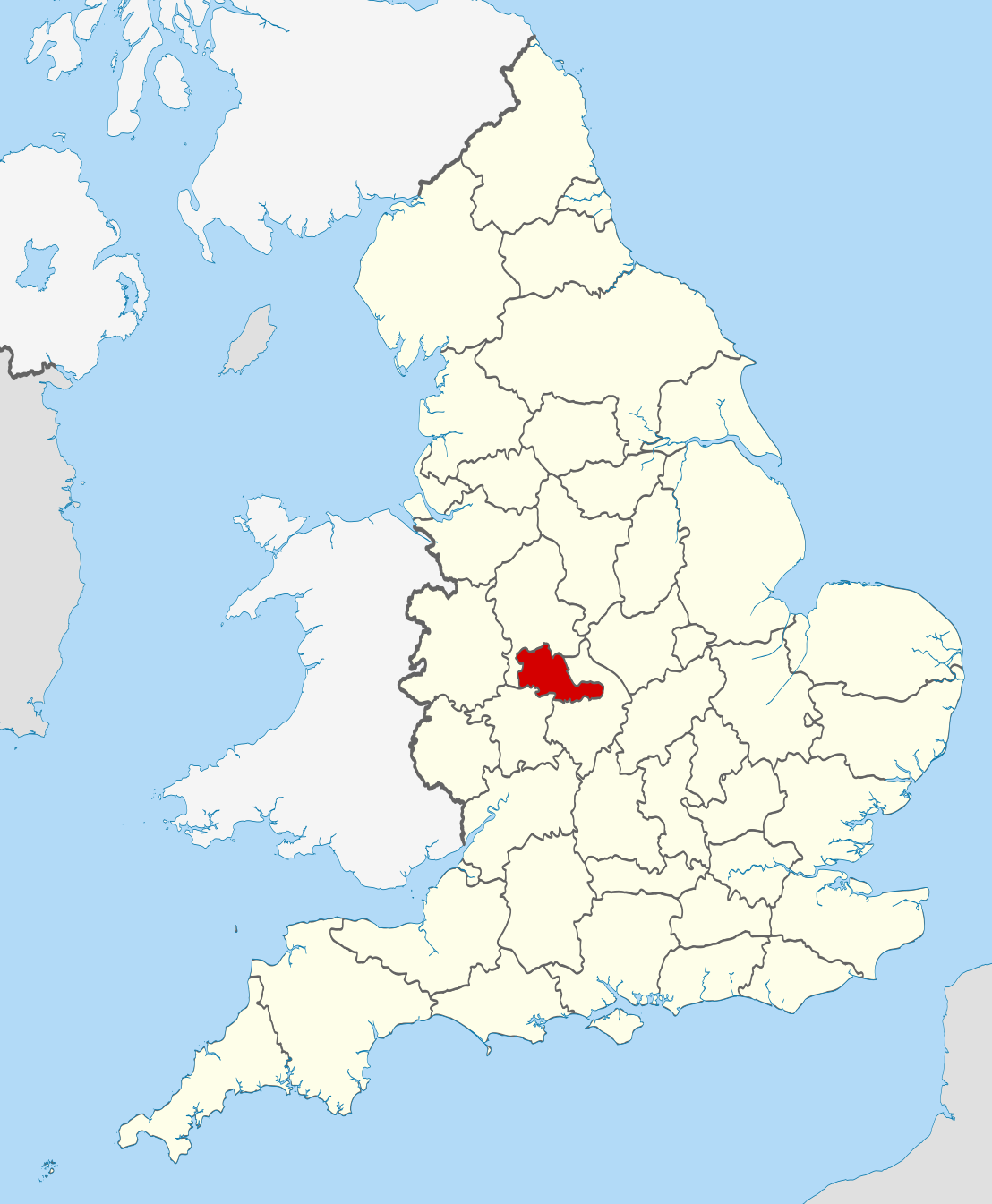
| Opis | Location of the ceremonial county of the West Midlands within England. |
| Data | |
| Źródło |
National Geospatial-Intelligence Agency
|
| Autor | Nilfanion |
Licencja[edytuj]
Ja, właściciel praw autorskich do tego dzieła, udostępniam je na poniższych licencjach
Ten plik udostępniony jest na licencji Creative Commons Uznanie autorstwa – Na tych samych warunkach 3.0.
- Wolno:
- dzielić się – kopiować, rozpowszechniać, odtwarzać i wykonywać utwór
- modyfikować – tworzyć utwory zależne
- Na następujących warunkach:
- uznanie autorstwa – musisz określić autorstwo utworu, podać link do licencji, a także wskazać czy utwór został zmieniony. Możesz to zrobić w każdy rozsądny sposób, o ile nie będzie to sugerować, że licencjodawca popiera Ciebie lub Twoje użycie utworu.
- na tych samych warunkach – Jeśli zmienia się lub przekształca niniejszy utwór, lub tworzy inny na jego podstawie, można rozpowszechniać powstały w ten sposób nowy utwór tylko na podstawie tej samej lub podobnej licencji.

|
Udziela się zgody na kopiowanie, rozpowszechnianie oraz modyfikowanie tego dokumentu zgodnie z warunkami GNU Licencji Wolnej Dokumentacji, w wersji 1.2 lub nowszej opublikowanej przez Free Software Foundation; bez niezmiennych sekcji, bez treści umieszczonych na frontowej lub tylnej stronie okładki. Kopia licencji załączona jest w sekcji zatytułowanej GNU Licencja Wolnej Dokumentacji. |
Możesz wybrać, którą licencję chcesz zastosować.

|
This is one of the images forming part of the Valued image set: Locator maps of the Ceremonial counties of England on Wikimedia Commons. The image set has been assessed under the valued image set criteria and is considered the most valued set on Commons within the scope:
Locator maps of the Ceremonial counties of England
You can see its nomination at Commons:Valued image candidates/Locator maps of English ceremonial counties. |
Historia pliku
Kliknij na odpowiedniej dacie/czasie, aby zobaczyć wersję pliku z tamtego okresu.
| Data/czas | Miniatura | Wymiary | Użytkownik | Opis | |
|---|---|---|---|---|---|
| aktualny | 22:46, 23 lis 2010 | | 1108 × 1345 (302 KB) | Nilfanion (dyskusja | edycje) | == Summary == {{Information |Description=Location of the ceremonial county of the West Midlands within England. |Source=Ordnance Survey [https://www.ordnancesurvey.co.uk/opendatadownload/products.html OpenData]: * |
Nie możesz nadpisać tego pliku.
Lokalne wykorzystanie pliku
Następujące strony korzystają z tego pliku:
- Valued image set: Locator maps of the Ceremonial counties of England
- Commons:Valued image candidates/Locator maps of English ceremonial counties
- Category:Alumni by school in the West Midlands (county)
- Category:Births in the West Midlands (county)
- Category:Canals in the West Midlands (county)
- Category:Deaths in the West Midlands (county)
- Category:Economy of the West Midlands (county)
- Category:Former civil parishes in the West Midlands (county)
- Category:Hamlets in the West Midlands (county)
- Category:Hospitals in the West Midlands (county)
- Category:People of the West Midlands (county)
- Category:Populated places in the West Midlands (county)
- Category:Rivers of the West Midlands (county)
- Category:Sports in the West Midlands (county)
- Category:Tunnels in the West Midlands (county)
- Category:Views of the West Midlands (county)
- Category:West Midlands (county)
- Category:Windmills in the West Midlands (county)
Globalne wykorzystanie pliku
Ten plik jest wykorzystywany także w innych projektach wiki:
- Wykorzystanie na af.wikipedia.org
- Wykorzystanie na ang.wikipedia.org
- Wykorzystanie na ar.wikipedia.org
- Wykorzystanie na ast.wikipedia.org
- Wykorzystanie na be-tarask.wikipedia.org
- Wykorzystanie na br.wikipedia.org
- Wykorzystanie na ca.wikipedia.org
- Wykorzystanie na ceb.wikipedia.org
- Wykorzystanie na cs.wikipedia.org
- Wykorzystanie na dag.wikipedia.org
- Wykorzystanie na da.wikipedia.org
- Wykorzystanie na en.wikipedia.org
- West Midlands (county)
- West Midlands Metro
- Harborne Reserve
- Tyseley
- Transport in Birmingham
- Hodge Hill
- Sparkbrook and Small Heath
- Chamberlain Square
- West Midlands Bus route 11
- New Frankley
- Beacon Way
- Old Oscott
- Tower Hill, West Midlands
- Hill Hook
- Whitehouse Common
- Birchfield, Birmingham
- Buckland End
- Gravelly Hill
- Hawkesley
- New Oscott
- Perry Common
- Short Heath, Birmingham
- Stockland Green
- Wightwick
- Westside, Birmingham
- Transport for West Midlands
- Brandhall
- Aldridge-Brownhills Urban District
- Hockley, West Midlands
- New Hall Manor Estate
- Hawbush
- Blakenall Heath
- Merry Hill Shopping Centre
- Witton Lakes
- Brookvale Park Lake
- Olton Reservoir
Pokaż listę globalnego wykorzystania tego pliku.