File:Western Otero Mesa - Flickr - aspidoscelis (2).jpg
Jump to navigation
Jump to search
Size of this preview: 800 × 533 pixels. Other resolutions: 320 × 213 pixels | 640 × 427 pixels | 1,024 × 683 pixels | 1,280 × 853 pixels | 1,800 × 1,200 pixels.
Original file (1,800 × 1,200 pixels, file size: 1.36 MB, MIME type: image/jpeg)
Captions
Captions
Add a one-line explanation of what this file represents
Summary
[edit].jpg&action=edit§ion=1)
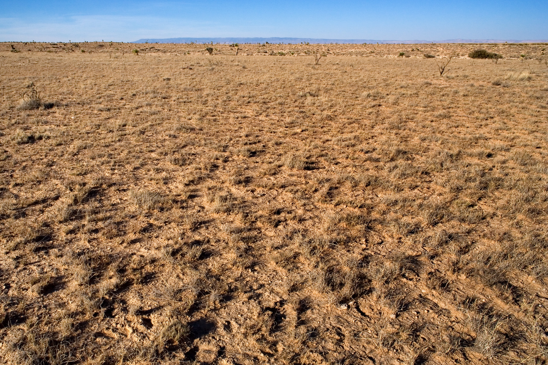
| Description | Western Otero Mesa, 2.8 miles northwest of the (abandoned) Wimberley Ranch, 0.6 miles northwest of the CCC Tank, 09031 LTA plot 6, 32.2469, -105.7010, Otero County, New Mexico, 1 Nov 2012. Burrograss, black grama, and ring muhly grassland with Stenandrium barbatum, Krascheninnikovia lanata, Tidestromia lanuginosa, Acourtia nana, Cirsium ochrocentrum, Gutierrezia microcephala, Thymophylla acerosa, Verbesina encelioides, Cylindropuntia imbricata, Mammillaria, Opuntia phaeacantha, Evolvulus, Ephedra, Croton pottsii, Krameria erecta, Aristida adscensionis, Aristida purpurea, Bouteloua eriopoda, Bouteloua gracilis, Enneapogon desvauxii, Muhlenbergia arenacea, Muhlenbergia torreyi, Pleuraphis mutica, Scleropogon brevifolius, Sporobolus contractus, etc. |
| Date | |
| Source | Western Otero Mesa |
| Author | Patrick Alexander from Las Cruces, NM |
Licensing
[edit].jpg&action=edit§ion=2)
| This file is made available under the Creative Commons CC0 1.0 Universal Public Domain Dedication. | |
| The person who associated a work with this deed has dedicated the work to the public domain by waiving all of their rights to the work worldwide under copyright law, including all related and neighboring rights, to the extent allowed by law. You can copy, modify, distribute and perform the work, even for commercial purposes, all without asking permission.
|
| This image was originally posted to Flickr by aspidoscelis at https://flickr.com/photos/26246711@N00/8155349009. It was reviewed on 7 December 2020 by FlickreviewR 2 and was confirmed to be licensed under the terms of the cc-zero. |
File history
Click on a date/time to view the file as it appeared at that time.
| Date/Time | Thumbnail | Dimensions | User | Comment | |
|---|---|---|---|---|---|
| current | 22:47, 7 December 2020 | | 1,800 × 1,200 (1.36 MB) | Josve05a (talk | contribs) | == {{int:filedesc}} == =={{int:filedesc}}== {{Information |Description=Western Otero Mesa, 2.8 miles northwest of the (abandoned) Wimberley Ranch, 0.6 miles northwest of the CCC Tank, 09031 LTA plot 6, 32.2469, -105.7010, Otero County, New Mexico, 1 Nov 2012. Burrograss, black grama, and ring muhly grassland with ''Stenandrium barbatum, Krascheninnikovia lanata, Tidestromia lanuginosa, Acourtia nana, Cirsium ochrocentrum, Gutierrezia microcephala, Thymophylla acerosa, Verbesina encelioides, C... |
You cannot overwrite this file.
File usage on Commons
There are no pages that use this file.
.jpg&oldid=713602106)