Himalayas
Jump to navigation
Jump to search
Čeština: Himálaj je pohoří v Asii, oddělující Indický subkontinent od Tibetské náhorní roviny. Nachází se v něm nejvyšší hora světa, Mount Everest.
Deutsch: Der Himalaya (auch: Himalaja) ist ein Hochgebirgssystem in Asien, nördlich des indischen Subkontinents und südlich des Tibetischen Hochlands.
English: The Himalaya Range (Sanskrit: literally, "abode of snow", हिमालय, IPA pronunciation: [hɪ'mɑlijə]), or Himalayas for short, is a mountain range in Asia, separating the Indian subcontinent from the Tibetan Plateau.
日本語: ヒマラヤ山脈
தமிழ்: பனியின் உறைவிடம் எனும் பொருளுடைய இமாலயா என்பது, ஆசியாவில், இந்திய உபகண்டத்தை சீனாவின் திபெத்துப் பீடபூமியிலிருந்துப் பிரிக்கும் மலைத்தொடர் ஆகும்
Aerial photographs
[edit]-
 Himalaya from the International Space Station (ISS).
 -

-
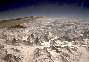 Himalayan mountains from air. Near K2, Pakistan
 -
 The termini of the glaciers in the Bhutan-Himalaya.
 -
 Eastern Himalaya: white-on-red patchwork between rivers in south-western China
 -
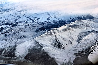
 from a plane, Dhaulagiri Himal
 -
 Aerial view of Himalaya From Delhi Leh Flight
 -
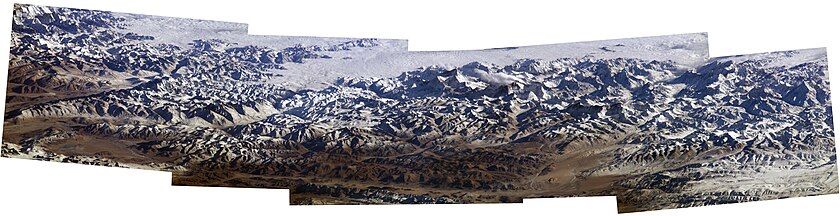 2004 photo mosaic of the Himalayas with Makalu and Mount Everest from the International Space Station, Expedition 8
 -

-
 Lhonak glacier


.jpg)

Major peaks
[edit]-

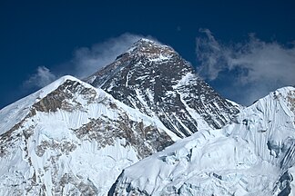
 Mount Everest (8848 m), the highest peak of the Himalayas
 -
 Mount Everest north face
 -
 Mount Everest south face
 -
 K2
K2
8,611 m -

-
-
 Lhotse
8,516 m -
 Makalu
8,463 m -
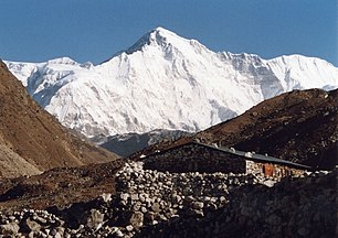 Cho Oyu
8,201 m -
 Dhaulagiri
8,167 m -
 Manaslu
8,163 m -
 Nanga Parbat
8,125 m -
 Annapurna
8,091 m -

-
 Nanda Devi, the highest peak entirely within India
 -
 North Sikkim, Kangchengyao satellite, India
 -

-


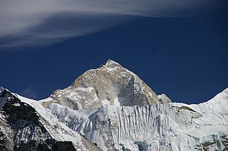
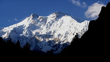
Other peaks and views
[edit]-
 Approaching base camp of Nanga Parbat
 -
 Dhauladhar range
 -
 Mahabharat Range, Lesser Himalayas, Nepal
 -
 Damodar Himal, Nepal
 -
 Nilgiri Himal
 -
 Thorong La, Muktinath Valley
 -
 Muktinath Valley and Kali Gandaki Valley
 -
 Kunzum Pass
 -
 Cho La Pass, Solukhumbu, Nepal
 -
 Dhawalagiri Range
 -
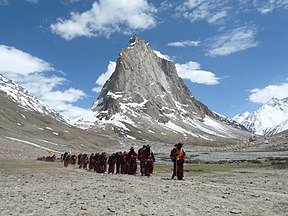 Pilgrimage
 -
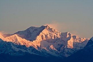
 View of Kangchenjunga from Sikkim
 -
 View from Kathmandu airport
 -
 View from Tibet
 -
 Ganchenpo, Nepal
 -
 Tibet
Tibet -
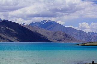 A lake in Leh-Ladakh
 -
 Jigme Dorji National Park, Bhutan
 -
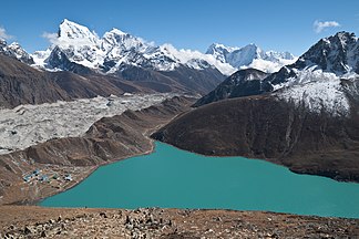 Gokyo Lakes, Nepal
 -

-
 Garhwal Himalaya from "Camels Back", Uttarakhand, India
 -
 Panoramic view of Langtang Range in Nepal
 -
 Nepal
Nepal -


_(8446635289).jpg)


.jpg)
.JPG)


Details
[edit]-
 Summiting Imja Tse, Nepal
 -
 Nepali woman
 -
 cycling on dried river bed
 -
 Nepal
Nepal -
 Yak on Annapurna circuit
 -
 Tansen, Nepal
 -
 Kali Gandaki River in Palpa
 -
 Muktinath Valley, Nepal
 -
 Kali Gandaki Valley, Nepal
 -
 Kagbeni, Rice paddies
 -
 Rock layers below Tilla Charouni, Pakistan
 -
 Pass in Ladakh with the typical Buddhist prayer flags and chorten
 -
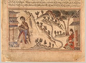 The Himalayas between India and Tibet illustrated in the Jami' al-tawarikh
 -
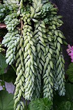 Sedum morganianum in Sikkim
 -
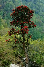 Rhododendron in Eastern Bhutan
 -
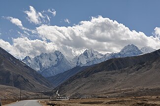
 Highway
 -
 Langtang National Park, Nepal
 -
 Prayer flags with Himalaya in background, Bhutan
 -
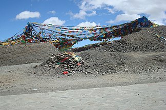 Prayer flags at Pang La, Tibet
 -
 Dolakha, Nepal
 -

-


.jpg)


.jpg)

.jpg)
.jpg)


_(2926948182).jpg)
