File:Залізничний шляхопровід у Фастові.jpg
Jump to navigation
Jump to search

Size of this preview: 800 × 536 pixels. Other resolutions: 320 × 214 pixels | 640 × 429 pixels | 1,024 × 686 pixels.
Original file (1,024 × 686 pixels, file size: 219 KB, MIME type: image/jpeg)
Captions
Captions
Add a one-line explanation of what this file represents
Summary[edit]
| Description |
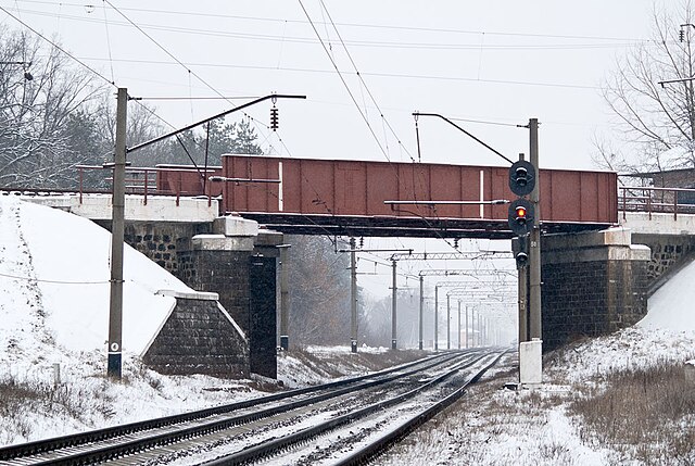
Українська: Залізничний шляхопровід у Фастові. Під мостом колії від станції Триліси в напрямку станції Фастів-1, на мосту — колія від станції Потіївка до станції Фастів-2 |
| Date | |
| Source | Untitled |
| Author | Leonid Andronov |
| Camera location | | View this and other nearby images on: OpenStreetMap |
|---|
Licensing[edit]
This file is licensed under the Creative Commons Attribution 3.0 Unported license.
- You are free:
- to share – to copy, distribute and transmit the work
- to remix – to adapt the work
- Under the following conditions:
- attribution – You must give appropriate credit, provide a link to the license, and indicate if changes were made. You may do so in any reasonable manner, but not in any way that suggests the licensor endorses you or your use.
| This image, which was originally posted to Panoramio, was reviewed on {{{2}}} by the administrator or trusted user Ahonc, who confirmed that it was available on Panoramio under the above license on that date. |
File history
Click on a date/time to view the file as it appeared at that time.
| Date/Time | Thumbnail | Dimensions | User | Comment | |
|---|---|---|---|---|---|
| current | 23:44, 8 September 2011 | | 1,024 × 686 (219 KB) | Ahonc (talk | contribs) | {{Information |Description={{uk|Залізничний шляхопровід у Фастові. Під мостом колії від станції Триліси в напрямку станції Фастів-1, на мосту — колія від � |
You cannot overwrite this file.
File usage on Commons
There are no pages that use this file.
File usage on other wikis
The following other wikis use this file:
- Usage on en.wikipedia.org
- Usage on uk.wikipedia.org
- Usage on uz.wikipedia.org