File:Чортків, Рудькова (1869-1887).png
Jump to navigation
Jump to search

Size of this preview: 800 × 493 pixels. Other resolutions: 320 × 197 pixels | 640 × 395 pixels | 845 × 521 pixels.
Original file (845 × 521 pixels, file size: 576 KB, MIME type: image/png)
Captions
Captions
Add a one-line explanation of what this file represents
Summary
[edit].png&action=edit§ion=1)
| Description |
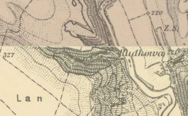
Українська: XIX ст. |
| Date | 19th century |
| Source | https://mapire.eu/en/map/thirdsurvey25000/?bbox=2869669.2216127706%2C6273851.484616182%2C2873304.7577705844%2C6275045.813183137&map-list=1&layers=129 |
| Author | http://mapire.eu/ Military survey Habsburg Empire. |
Licensing
[edit].png&action=edit§ion=2)
|
This work is in the public domain in its country of origin and other countries and areas where the copyright term is the author's life plus 100 years or fewer. | |
| This file has been identified as being free of known restrictions under copyright law, including all related and neighboring rights. | |
File history
Click on a date/time to view the file as it appeared at that time.
| Date/Time | Thumbnail | Dimensions | User | Comment | |
|---|---|---|---|---|---|
| current | 06:35, 5 February 2021 | | 845 × 521 (576 KB) | Максим Огородник (talk | contribs) | == Опис файлу == {{Зображення |Опис={{uk|1=XIX ст.}} |Автор=http://mapire.eu/ Military survey Habsburg Empire. |Джерело=https://mapire.eu/en/map/thirdsurvey25000/?bbox=2869669.2216127706%2C6273851.484616182%2C2873304.7577705844%2C6275045.813183137&map-list=1&layers=129 |Час створення={{other date|century|19}} |Ліцензія= }} == Ліцензування == {{PD-old-100}} {{Move to Commons|Chortkiv}} Category:Maps of Chortkiv Category:Maps of rivers in Ternopil Oblast |
You cannot overwrite this file.
File usage on Commons
There are no pages that use this file.
File usage on other wikis
The following other wikis use this file:
- Usage on uk.wikipedia.org
.png&oldid=558270861)