File:山口県防府市県内位置図.svg
Jump to navigation
Jump to search

Size of this PNG preview of this SVG file: 770 × 600 pixels. Other resolutions: 308 × 240 pixels | 616 × 480 pixels | 986 × 768 pixels | 1,280 × 997 pixels | 2,560 × 1,995 pixels | 797 × 621 pixels.
Original file (SVG file, nominally 797 × 621 pixels, file size: 19 KB)
Captions
Captions
Add a one-line explanation of what this file represents
Summary[edit]
| Description |
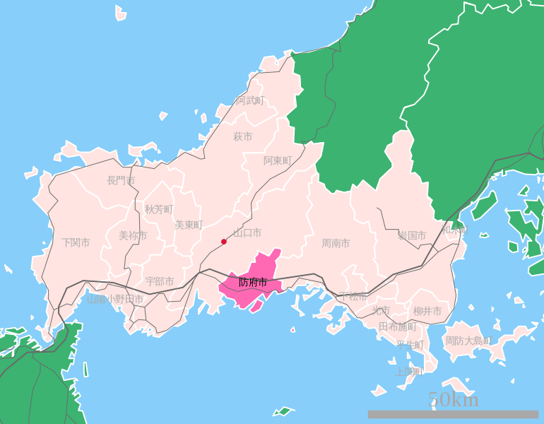
山口県防府市の都道府県内位置図 English: Location Map of Hōfu-shi Yamaguchi-ken Japan
0.4.2423.2563 |
||||||||
| Date | |||||||||
| Source |
国土交通省 国土数値情報(行政区域(N03)・鉄道(N02)) http://ja.wikipedia.org/wiki/%E7%94%BB%E5%83%8F:%E5%B1%B1%E5%8F%A3%E7%9C%8C%E9%98%B2%E5%BA%9C%E5%B8%82%E7%9C%8C%E5%86%85%E4%BD%8D%E7%BD%AE%E5%9B%B3.svg |
||||||||
| Author | Lincun | ||||||||
| Permission (Reusing this file) |
|

Original upload log[edit]
Transferred from uk.wikipedia to Commons using UWCTransferBot v.3.0.1 based on Chris G's botclasses framework.
Move approved by AlexKozur.
The original description page was here. All following user names refer to uk.wikipedia.
- 2008-01-19 09:03 Alex K 797×621×0 (19736 bytes) {{Зображення |Назва=山口県防府市の都道府県内位置図 Location Map of Hōfu-shi Yamaguchi-ken Japan |Опис=0.4.2423.2563 |Автор=[[:ja:User:Lincun|Lincun]] |Джерело=国土交通省 国土数値情報(行政区域(
File history
Click on a date/time to view the file as it appeared at that time.
| Date/Time | Thumbnail | Dimensions | User | Comment | |
|---|---|---|---|---|---|
| current | 22:06, 6 January 2019 | | 797 × 621 (19 KB) | UWCTransferBot (talk | contribs) | file was transfered from Ukrainian Wikipedia |
You cannot overwrite this file.
File usage on Commons
There are no pages that use this file.
File usage on other wikis
The following other wikis use this file:
- Usage on uk.wikipedia.org