File:Angaur map.jpg
Jump to navigation
Jump to search

Size of this preview: 641 × 600 pixels. Other resolutions: 257 × 240 pixels | 513 × 480 pixels | 821 × 768 pixels | 1,174 × 1,098 pixels.
Original file (1,174 × 1,098 pixels, file size: 351 KB, MIME type: image/jpeg)
Captions
Captions
Add a one-line explanation of what this file represents
Summary[edit]
| Description |
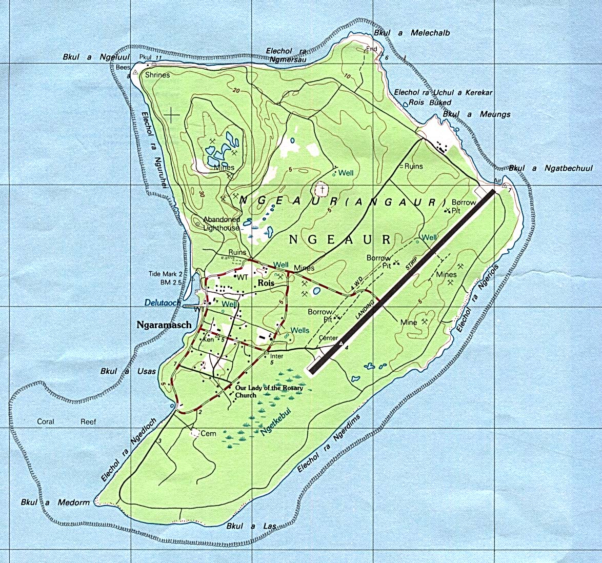
English: Map of Angaur Island, Palau Français : Carte de l'île d'Angaur. |
| Date | |
| Source | Perry-Castañeda Library Map Collection |
| Author | USGS |
Licensing[edit]
This image is in the public domain in the United States because it only contains materials that originally came from the United States Geological Survey, an agency of the United States Department of the Interior. For more information, see the official USGS copyright policy.
|
File history
Click on a date/time to view the file as it appeared at that time.
| Date/Time | Thumbnail | Dimensions | User | Comment | |
|---|---|---|---|---|---|
| current | 11:18, 20 November 2009 | | 1,174 × 1,098 (351 KB) | Telim tor (talk | contribs) | == {{int:filedesc}} == {{Information |Description={{en|Map of Angaur Island, Palau}} |Source=[http://www.lib.utexas.edu/maps/islands_oceans_poles/palau_ngeaur_island.jpg Perry-Castañeda Library Map Collection] |Date=1984 |Author=USGS |Permission= |other_ |
You cannot overwrite this file.
File usage on Commons
There are no pages that use this file.
File usage on other wikis
The following other wikis use this file:
- Usage on de.wikipedia.org
- Usage on es.wikipedia.org
- Usage on id.wikipedia.org
- Usage on lt.wikipedia.org
- Usage on nl.wikipedia.org
- Usage on pl.wikipedia.org
- Usage on ru.wikipedia.org