File:Aquitaine region location map.svg
Jump to navigation
Jump to search

Size of this PNG preview of this SVG file: 469 × 599 pixels. Other resolutions: 188 × 240 pixels | 375 × 480 pixels | 601 × 768 pixels | 801 × 1,024 pixels | 1,602 × 2,048 pixels | 726 × 928 pixels.
Original file (SVG file, nominally 726 × 928 pixels, file size: 3.64 MB)
Captions
Captions
Add a one-line explanation of what this file represents
Summary
[edit]
| Description |
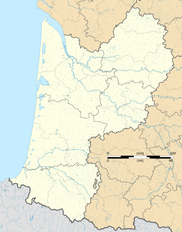
Français : Carte administrative vierge de la région Aquitaine, France, destinée à la géolocalisation. Projection "Géoportail" (projection équirectangulaire à la latitude de référence 46.5° Nord) |
| Date | |
| Source |
Own work
|
| Author | Flappiefh |
Licensing
[edit]
I, the copyright holder of this work, hereby publish it under the following license:
This file is licensed under the Creative Commons Attribution-Share Alike 4.0 International license.
- You are free:
- to share – to copy, distribute and transmit the work
- to remix – to adapt the work
- Under the following conditions:
- attribution – You must give appropriate credit, provide a link to the license, and indicate if changes were made. You may do so in any reasonable manner, but not in any way that suggests the licensor endorses you or your use.
- share alike – If you remix, transform, or build upon the material, you must distribute your contributions under the same or compatible license as the original.
File history
Click on a date/time to view the file as it appeared at that time.
| Date/Time | Thumbnail | Dimensions | User | Comment | |
|---|---|---|---|---|---|
| current | 17:55, 10 August 2015 | | 726 × 928 (3.64 MB) | Flappiefh (talk | contribs) | User created page with UploadWizard |
You cannot overwrite this file.
File usage on Commons
The following 3 pages use this file:
File usage on other wikis
The following other wikis use this file:
- Usage on es.wikipedia.org
- Dolmayrac
- Jardín Botánico de Burdeos
- Iglesia de Saint Quentin de Baron
- Jardín Botánico Litoral Paul Jovet
- Abadía de Saint-Sever
- Jardín Botánico de los Pirineos Occidentales
- Plantilla:Mapa de localización de Aquitania
- Parque Palmer
- Domaine de Malagar
- Manoir de Sautet
- Catedral de Bazas
- Catedral de San Caprasio (Agen)
- Castillo de Curton
- Usage on fr.wikipedia.org
- Abbaye de Dalon
- Golf du Phare
- Château de Lagrange-Monrepos
- Château de Gavaudun
- Cantois
- Lycée Louis-Barthou
- Réserve naturelle nationale de la vallée d'Ossau
- Grottes de Bétharram
- Église Sainte-Croix d'Oloron
- Lycée Camille-Jullian
- Grotte du Visage
- Abri de la Madeleine
- Abri de Cro-Magnon
- Hippodrome du Pont-Long
- Château de Cadillac
- Réserve naturelle nationale de l'étang de Cousseau
- Réserve naturelle nationale du Banc-d'Arguin
- Commanderie de Sallebruneau
- Liste des commanderies templières en Aquitaine
- Parc de Majolan
- Abbaye de Pontaut
- Abri Pataud
- Dhagpo Kagyu Ling
- Pont d'Assat
- Walygator Sud-Ouest
- Château de Blanquefort
- Couvent Notre-Dame-du-Refuge
- Château de Curton
- Grotte des Combarelles
- Centre de détention d'Eysses
- Arènes de Bayonne
- Réserve naturelle régionale d'Errota Handia
- Château de Fumel
- Château de Nérac
- Sanctuaire Notre-Dame de Peyragude
- Monastère Sainte-Scholastique
- Réserve naturelle nationale des marais de Bruges
View more global usage of this file.