File:Bahamas location map.svg
Pereiti į navigaciją
Jump to search

Rinkmenos SVG peržiūros PNG dydisː 800 × 577 taškų. Kitos 6 rezoliucijos: 320 × 231 taškų | 640 × 461 taškų | 1 024 × 738 taškų | 1 280 × 923 taškų | 2 560 × 1 846 taškų | 1 559 × 1 124 taškų.
Pradinė rinkmena (SVG rinkmena, formaliai 1 559 × 1 124 taškų, rinkmenos dydis: 383 KiB)
Captions
Captions
Add a one-line explanation of what this file represents
Aprašymas
[keisti]

|
This map has been made or improved in the German Kartenwerkstatt (Map Lab). You can propose maps to improve as well.
|
Licencija
[keisti]
Aš, šio darbo autoriaus teisių savininkas, publikuoju jį su šiomis licencijomis:

|
Suteikiamas leidimas kopijuoti, platinti ir/ar redaguoti šį dokumentą pagal GNU Free Documentation licencijos versijos 1.2 ar bet kurios vėlesnės versijos sąlygas, publikuotas Free Software Foundation; be nekintamų dalių, be priekinių ir galinių tekstinių žymų viršeliuose. Šios licencijos kopija įtraukta dalyje, pavadintoje GNU Free Documentation License. |
Šiam failui taikoma Creative Commons Attribution-Share Alike 3.0 Unported licencija.
- Jūs galite:
- dalintis – kopijuoti, platinti bei persiųsti šį darbą
- pri(si)taikyti – adaptuoti darbą
- Su šiomis sąlygomis:
- autoriaus nurodymas – Turite pateikti atitinkamą kreditą, pateikti nuorodą į licenciją ir nurodyti, ar buvo atlikti pakeitimai. Tai galite padaryti bet kokiu būdu, bet ne taip, kad licencijos išdavėjas patvirtintų jus ar jūsų naudojimą.
- dalinkis panašiai – Jei perdirbsite, redaguosite ar atkursite šį darbą, jį galėsite platinti tik su tokia pačia ar panašia į šią licencija.
Galite pasirinkti, kurią licenciją norite naudoti.
Rinkmenos istorija
Paspauskite ant datos/laiko, kad pamatytumėte rinkmeną tokią, kokia ji buvo tuo metu.
| Data/Laikas | Miniatiūra | Matmenys | Naudotojas | Paaiškinimas | |
|---|---|---|---|---|---|
| dabartinis | 17:31, 15 balandžio 2011 | | 1 559 × 1 124 (383 KiB) | NordNordWest (aptarimas | indėlis) | upd |
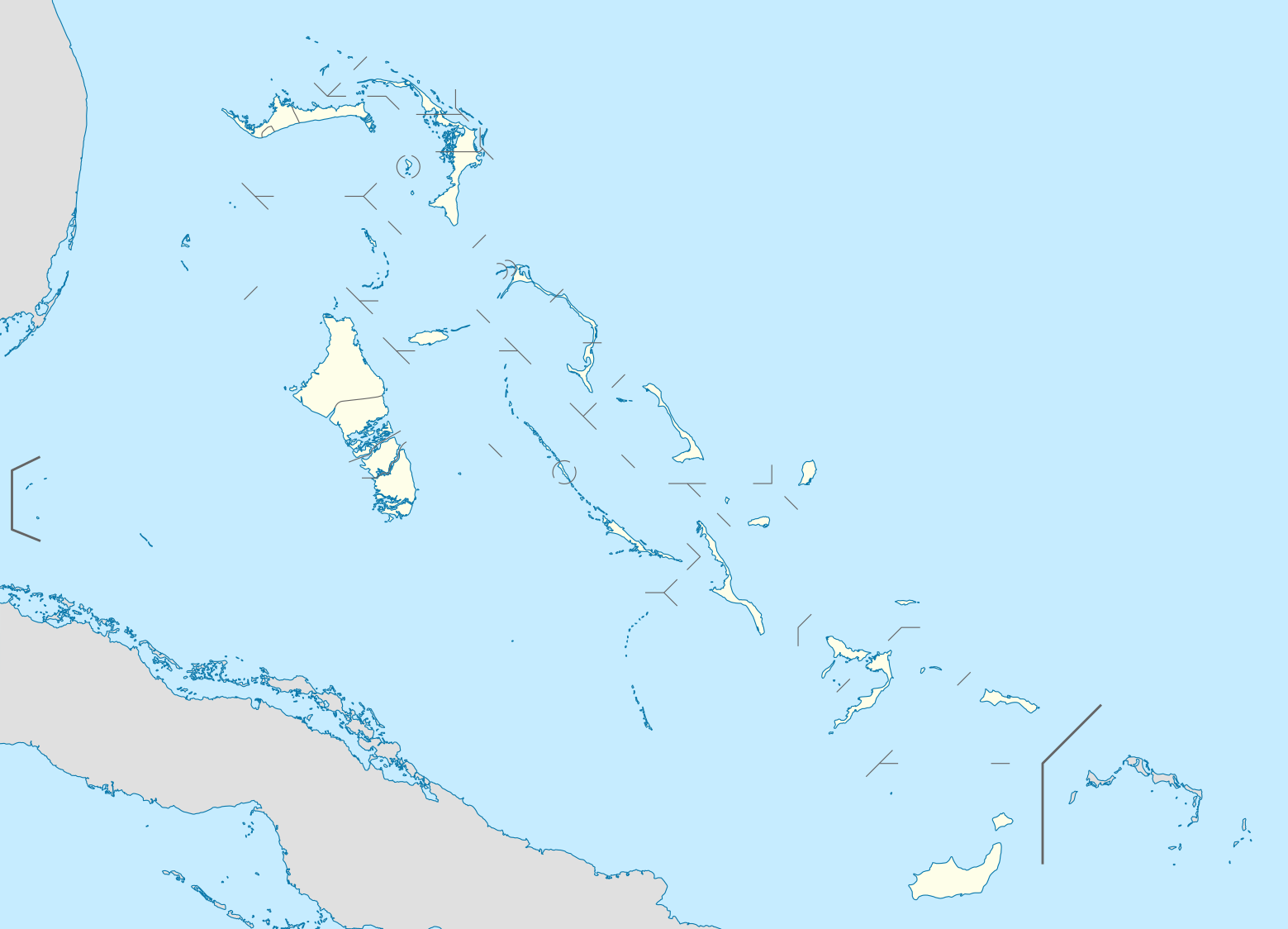
| 19:17, 23 spalio 2008 |  | 1 560 × 1 125 (549 KiB) | NordNordWest (aptarimas | indėlis) | {{Information |Description= {{de|Positionskarte der Bahamas}} Quadratische Plattkarte, N-S-Streckung 105 %. Geographische Begrenzung der Karte: * N: 27.5° N * S: 20.7° N * W: 80.7° W * O: 70.8° W {{en|Location map of [[:en:The Bahamas| |
Jūs negalite perrašyti šios rinkmenos.
Rinkmenos naudojimas
Daugiau nei 100 puslapių naudoja šią rinkmeną. Šis sąrašas rodo tik pirmus 100 puslapių, naudojančių šį failą. Yra pasiekiamas ir visas sąrašas.
- User:NordNordWest/Gallery/Location maps
- File:Acklins in Bahamas.svg
- File:Acklins in Bahamas (+glow).svg
- File:Acklins in Bahamas (zoom).svg
- File:Bahamas-map-2010.png
- File:Berry Islands District.png
- File:Berry Islands in Bahamas.svg
- File:Berry Islands in Bahamas (+glow).svg
- File:Bimini District.png
- File:Bimini in Bahamas (+glow).svg
- File:Black Point in Bahamas.svg
- File:Black Point in Bahamas (+glow).svg
- File:Black Point in Bahamas (+special marker).svg
- File:Black Point in Bahamas (zoom).svg
- File:Cat Island District.png
- File:Cat Island in Bahamas.svg
- File:Central Abaco District.png
- File:Central Abaco District Location.png
- File:Central Abaco in Bahamas.svg
- File:Central Abaco in Bahamas (zoom).svg
- File:Central Andros District.png
- File:Central Andros in Bahamas.svg
- File:Central Eleuthera District.png
- File:Central Eleuthera in Bahamas.svg
- File:Central Eleuthera in Bahamas (+glow).svg
- File:Central Eleuthera in Bahamas (zoom).svg
- File:Crooked Island in Bahamas.svg
- File:Crooked Island in Bahamas (+glow).svg
- File:Crooked Island in Bahamas (zoom).svg
- File:District of Acklins.png
- File:District of the City of Freeport.png
- File:East Grand Bahama.png
- File:East Grand Bahama in Bahamas.svg
- File:East Grand Bahama in Bahamas (zoom).svg
- File:Exuma District.png
- File:Exuma and Cays in Bahamas.svg
- File:Exuma and Cays in Bahamas (+glow).svg
- File:Freeport in Bahamas.svg
- File:Freeport in Bahamas (+special marker).svg
- File:Freeport in Bahamas (zoom).svg
- File:Grand Cay District.png
- File:Grand Cay in Bahamas (+glow).svg
- File:Grand Cay in Bahamas (zoom).svg
- File:Grand Cay in Bahamas (zoom +glow).svg
- File:Grand bahama Administrative regions.png
- File:Green Turtle Cay in Bahamas (+glow).svg
- File:Green Turtle Cay in Bahamas (+special marker).svg
- File:Green Turtle Cay in Bahamas (zoom).svg
- File:Green Turtle Cay in Bahamas (zoom +glow).svg
- File:Harbour Island District.png
- File:Harbour Island in Bahamas (+special marker).svg
- File:Harbour Island in Bahamas (zoom).svg
- File:Hope Town District.png
- File:Hope Town in Bahamas.svg
- File:Hope Town in Bahamas (+glow).svg
- File:Hope Town in Bahamas (zoom).svg
- File:Hope Town in Bahamas (zoom +glow).svg
- File:Inagua District Location.png
- File:Inagua in Bahamas.svg
- File:Long Island District.png
- File:Long Island in Bahamas.svg
- File:Long Island in Bahamas (+glow).svg
- File:Mangrove Cay District.png
- File:Mangrove Cay in Bahamas.svg
- File:Map of the Bahamas-2010-2.png
- File:Map of the Bahamas-2010.png
- File:Mayaguana District.png
- File:Mayaguana in Bahamas.svg
- File:Mayaguana in Bahamas (+glow).svg
- File:Moore's Island.png
- File:Moores Island in Bahamas.svg
- File:Moores Island in Bahamas (+special marker).svg
- File:Moores Island in Bahamas (zoom).svg
- File:Moores Island in Bahamas (zoom +glow).svg
- File:North Abaco District.png
- File:North Abaco in Bahamas.svg
- File:North Abaco in Bahamas (+glow).svg
- File:North Abaco in Bahamas (zoom).svg
- File:North Andros District.png
- File:North Andros District Location.png
- File:North Andros in Bahamas.svg
- File:North Eleuthera District.png
- File:North Eleuthera in Bahamas.svg
- File:North Eleuthera in Bahamas (+glow).svg
- File:North Eleuthera in Bahamas (zoom).svg
- File:Northern Bahamas.png
- File:Ragged Island in Bahamas (+glow).svg
- File:Rum Cay in Bahamas.svg
- File:Rum Cay in Bahamas (+glow).svg
- File:San Salvador in Bahamas.svg
- File:San Salvador in Bahamas (+glow).svg
- File:South Abaco District.png
- File:South Abaco in Bahamas.svg
- File:South Andros District.png
- File:South Andros District Location.png
- File:South Andros in Bahamas.svg
- File:South Eleuthera District.png
- File:South Eleuthera in Bahamas.svg
- File:South Eleuthera in Bahamas (+glow).svg
- File:South Eleuthera in Bahamas (zoom).svg
.svg)
.svg)
.svg)
.svg)
.svg)
.svg)
.svg)
.svg)
.svg)
.svg)
.svg)
.svg)
.svg)
.svg)
.svg)
.svg)
.svg)
.svg)
.svg)
.svg)
.svg)
.svg)
.svg)
.svg)
.svg)
.svg)
.svg)
.svg)
.svg)
.svg)
.svg)
.svg)
.svg)
.svg)
.svg)
.svg)
.svg)
.svg)
.svg)
.svg)
.svg)
.svg)
Žiūrėti daugiau nuorodų į šį failą.
Visuotinis rinkmenos naudojimas
Ši rinkmena naudojama šiose viki svetainėse:
- Naudojama af.wikipedia.org
- Naudojama als.wikipedia.org
- Naudojama an.wikipedia.org
- Naudojama ar.wikipedia.org
- Naudojama ast.wikipedia.org
- Naudojama az.wikipedia.org
- Naudojama ba.wikipedia.org
- Naudojama be.wikipedia.org
- Naudojama bg.wikipedia.org
- Naudojama bn.wikipedia.org
- Naudojama bs.wikipedia.org
- Naudojama ceb.wikipedia.org
- Bahamas
- Plantilya:Location map Bahamas
- White Cliff
- South Point
- Pelican Point
- Palmetto Point
- Old Fort Point
- Long Island
- Long Bay
- Lobster Island
- James Point
- Hog Point
- High Point
- Goat Island
- Middle Ground
- North Point
- Castle Rock
- West Point
- West Cay
- Sandy Point
- Long Rock
- Little Island
- Black Point
- San Salvador
- North Beach
- Bell Island
Žiūrėti visuotinį šios rinkmenos naudojimą.