File:Croatia map blank.png
Jump to navigation
Jump to search
Size of this preview: 600 × 600 pixels. Other resolutions: 240 × 240 pixels | 480 × 480 pixels | 768 × 768 pixels | 1,024 × 1,024 pixels | 2,400 × 2,400 pixels.
Original file (2,400 × 2,400 pixels, file size: 281 KB, MIME type: image/png)
Captions
Captions
Add a one-line explanation of what this file represents
Summary
[edit]
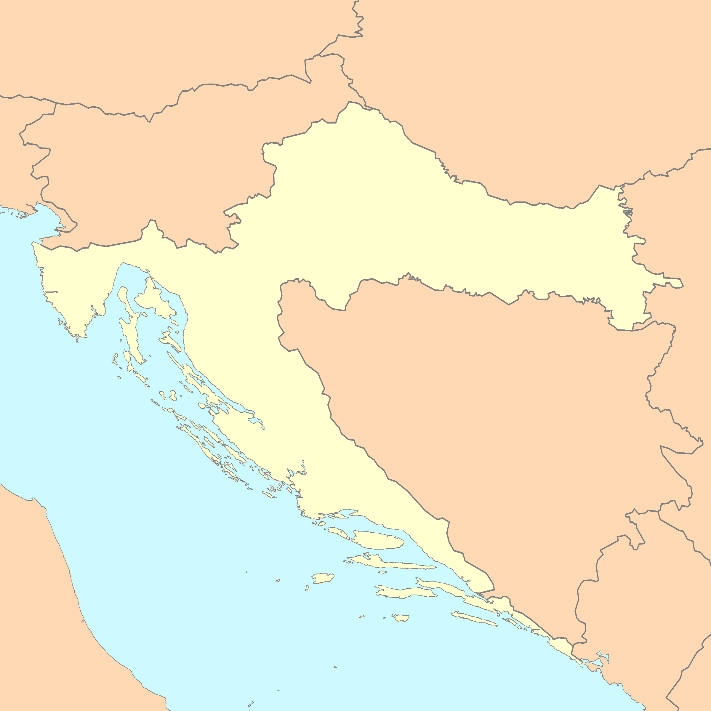
| Description | A blank map of Croatia |
| Date | |
| Source | Reference map provided by Demis Mapper 6, enhanced using Corel Photo-Paint 12 |
| Author | Minestrone |

|
File:Croatia map blank.svg is a vector version of this file. It should be used in place of this PNG file when not inferior.
File:Croatia map blank.png → File:Croatia map blank.svg
For more information, see Help:SVG. |
 |
Licensing
[edit]
This image is in the public domain because it came from the site https://www.demis.nl/products/web-map-server/examples/ and was released by the copyright holder. Permission is granted to copy, distribute and/or modify this map since it is based on free of copyright images from: www.demis.nl. See also approval email on de.wp and its clarification.
|
| This work has been released into the public domain by its copyright holder, www.demis.nl. This applies worldwide. In some countries this may not be legally possible; if so: www.demis.nl grants anyone the right to use this work for any purpose, without any conditions, unless such conditions are required by law.
|
This work is based on a work in the public domain. It has been digitally enhanced and/or modified. This derivative work has been (or is hereby) released into the public domain by its author, Minestrone. This applies worldwide.
In some countries this may not be legally possible; if so: |
This file is licensed under the Creative Commons Attribution 2.5 Generic license.
- You are free:
- to share – to copy, distribute and transmit the work
- to remix – to adapt the work
- Under the following conditions:
- attribution – You must give appropriate credit, provide a link to the license, and indicate if changes were made. You may do so in any reasonable manner, but not in any way that suggests the licensor endorses you or your use.
File history
Click on a date/time to view the file as it appeared at that time.
| Date/Time | Thumbnail | Dimensions | User | Comment | |
|---|---|---|---|---|---|
| current | 23:44, 3 January 2007 | | 2,400 × 2,400 (281 KB) | Minestrone (talk | contribs) | |
| 14:22, 28 April 2006 |  | 2,631 × 2,170 (462 KB) | E.coli (talk | contribs) | {{Information| |Description=A blank map of Croatia, with country outline and coastline; contact the author for help with modifications or add-ons |Source=Reference map provided by Demis Mapper 6 |Date=2006-28-04 |Author=E.coli |Permiss | |
| 13:47, 28 April 2006 |  | 3,132 × 2,170 (242 KB) | E.coli (talk | contribs) | {{Information| |Description=A blank map of Croatia, with country outline and coastline |Source=Reference map provided by Demis Mapper 6 |Date=2006-28-04 |Author=E.coli |Permission= |other_versions= }} |
You cannot overwrite this file.
File usage on Commons
The following 3 pages use this file:
File usage on other wikis
The following other wikis use this file:
- Usage on en.wikipedia.org
- Usage on hr.wikipedia.org