File:DEntrecasteauxIslandsTopography.png
Jump to navigation
Jump to search

Size of this preview: 670 × 599 pixels. Other resolutions: 268 × 240 pixels | 537 × 480 pixels | 859 × 768 pixels | 1,145 × 1,024 pixels | 1,924 × 1,721 pixels.
Original file (1,924 × 1,721 pixels, file size: 1.19 MB, MIME type: image/png)
Captions
Captions
Add a one-line explanation of what this file represents
Summary[edit]
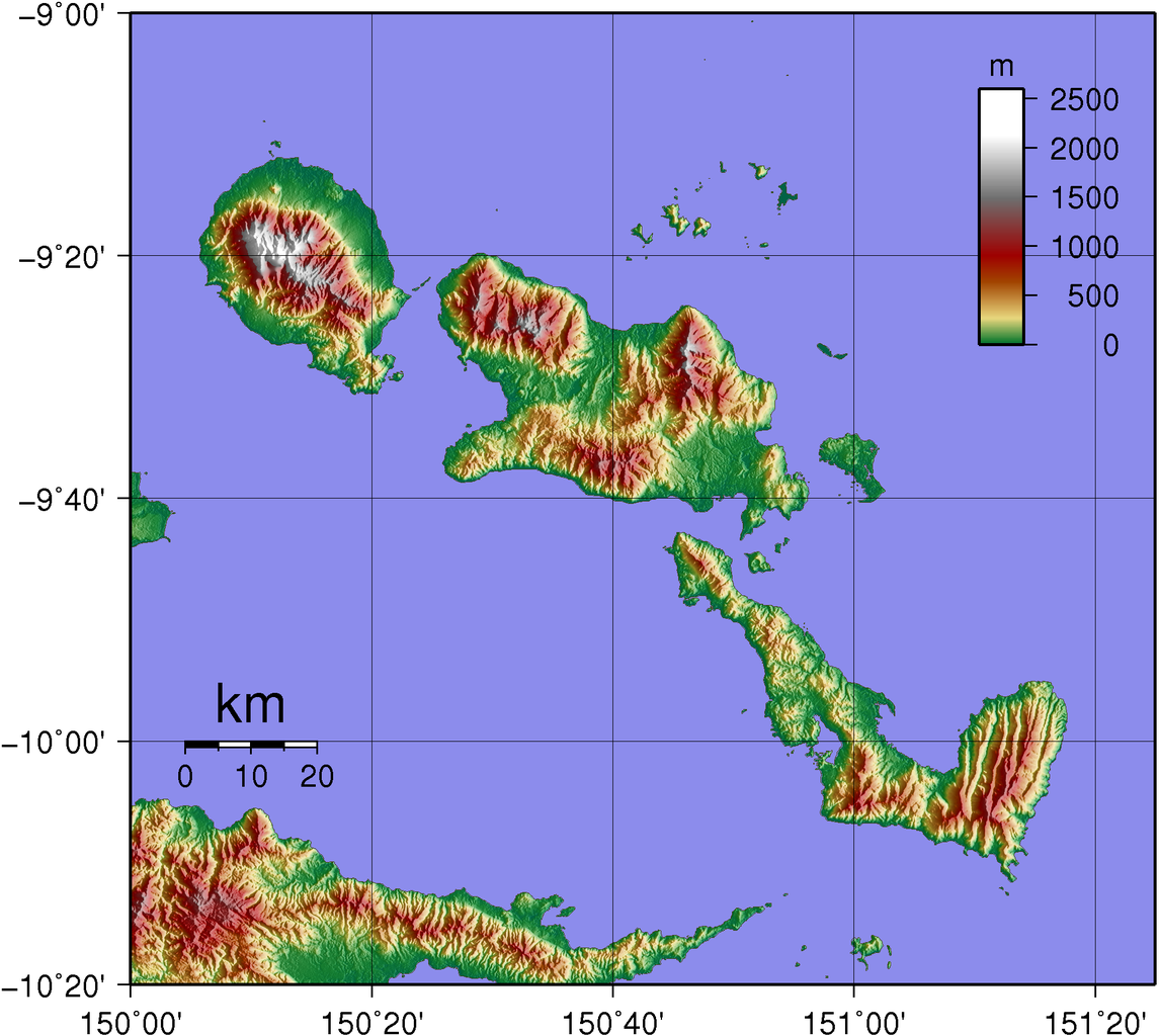
| Description | Topographic map of D'Entrecasteaux Islands in Papua New Guinea. |
| Date | |
| Source | Created with GMT from publicly available SRTM data |
| Author | Sadalmelik |
Licensing[edit]
| I, the copyright holder of this work, release this work into the public domain. This applies worldwide. In some countries this may not be legally possible; if so: I grant anyone the right to use this work for any purpose, without any conditions, unless such conditions are required by law. |
File history
Click on a date/time to view the file as it appeared at that time.
| Date/Time | Thumbnail | Dimensions | User | Comment | |
|---|---|---|---|---|---|
| current | 20:09, 2 June 2007 | | 1,924 × 1,721 (1.19 MB) | Sadalmelik (talk | contribs) | {{Information |Description=Topographic map of D'Entrecasteaux Islands in Papua New Guinea. |Source=Created with GMT from publicly available SRTM data |Date=June 2, 2007 |Author= User:Sadalmelik }} |
You cannot overwrite this file.
File usage on Commons
The following page uses this file:
File usage on other wikis
The following other wikis use this file:
- Usage on als.wikipedia.org
- Usage on de.wikipedia.org
- Usage on en.wikipedia.org
- Usage on it.wikipedia.org
- Usage on ja.wikipedia.org
- Usage on ka.wikipedia.org
- Usage on ko.wikipedia.org
- Usage on lt.wikipedia.org
- Usage on no.wikipedia.org
- Usage on pl.wikipedia.org
- Usage on pnb.wikipedia.org
- Usage on pt.wikipedia.org
- Usage on ru.wikipedia.org