File:EXTERIOR, GENERAL VIEW OF FRONT and RIGHT SIDE - Ulysses S. Grant Boyhood House, 219 Grant Avenue, Georgetown, Brown County, OH HABS OHIO,8-GEOTO,3-1.tif
Vai alla navigazione
Vai alla ricerca

Dimensioni di questa anteprima JPG per questo file TIF: 800 × 572 pixel. Altre risoluzioni: 320 × 229 pixel | 640 × 457 pixel | 1 024 × 732 pixel | 1 280 × 915 pixel | 2 560 × 1 829 pixel | 5 000 × 3 573 pixel.
File originale (5 000 × 3 573 pixel, dimensione del file: 17,04 MB, tipo MIME: image/tiff)
Didascalie
Didascalie
Aggiungi una brevissima spiegazione di ciò che questo file rappresenta
Dettagli[modifica]
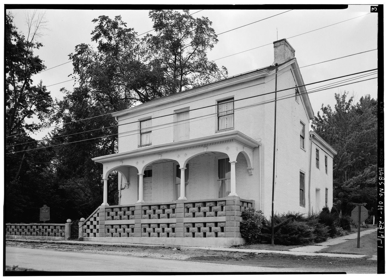
| EXTERIOR, GENERAL VIEW OF FRONT and RIGHT SIDE - Ulysses S. Grant Boyhood House, 219 Grant Avenue, Georgetown, Brown County, OH | ||||
|---|---|---|---|---|
| Titolo |
EXTERIOR, GENERAL VIEW OF FRONT and RIGHT SIDE - Ulysses S. Grant Boyhood House, 219 Grant Avenue, Georgetown, Brown County, OH |
|||
| Luogo rappresentato | Ohio; Brown County; Georgetown | |||
| Data | Documentation compiled after 1933 | |||
| Dimensioni | 5 x 7 in. | |||
| Ubicazione attuale |
Library of Congress Prints and Photographs Division Washington, D.C. 20540 USA http://hdl.loc.gov/loc.pnp/pp.print |
|||
| Numero d'inventario |
HABS OHIO,8-GEOTO,3-1 |
|||
| Attribuzione |
|
|||
| Note |
|
|||
| Riferimenti |
|
|||
| Fonte | https://www.loc.gov/pictures/item/oh0365.photos.129157p | |||
| Licenza (Riusare questo file) |
|
|||

| Posizione del soggetto | | Posizione di questa e altre immagini su: OpenStreetMap |
|---|
Cronologia del file
Fare clic su un gruppo data/ora per vedere il file come si presentava nel momento indicato.
| Data/Ora | Miniatura | Dimensioni | Utente | Commento | |
|---|---|---|---|---|---|
| attuale | 13:22, 30 lug 2014 |  | 5 000 × 3 573 (17,04 MB) | Fæ (discussione | contributi) | GWToolset: Creating mediafile for Fæ. HABS 30 July 2014 (2601:2900) |
Impossibile sovrascrivere questo file.
Utilizzo del file
La seguente pagina usa questo file:
Utilizzo globale del file
Anche i seguenti wiki usano questo file:
- Usato nelle seguenti pagine di it.wikipedia.org: