File:Elevations - Dimling-Bolan Building, 428 Wood Street, Pittsburgh, Allegheny County, PA HABS PA-6782 (sheet 3 of 5).tif
Jump to navigation
Jump to search

Size of this JPG preview of this TIF file: 800 × 533 pixels. Other resolutions: 320 × 213 pixels | 640 × 427 pixels | 1,024 × 683 pixels | 1,280 × 853 pixels | 2,560 × 1,707 pixels | 14,400 × 9,600 pixels.
Original file (14,400 × 9,600 pixels, file size: 624 KB, MIME type: image/tiff)
Captions
Captions
Add a one-line explanation of what this file represents
Summary
[edit]| Warning | The original file is very high-resolution. It might not load properly or could cause your browser to freeze when opened at full size. |
|---|
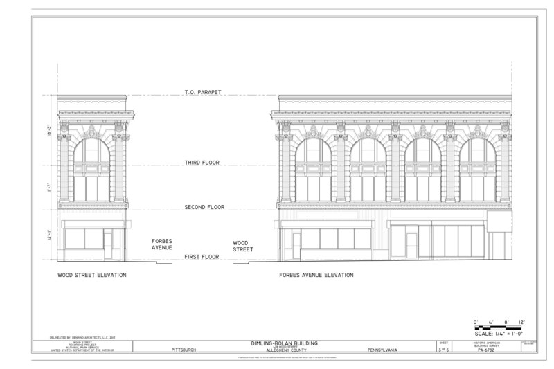
| Elevations - Dimling-Bolan Building, 428 Wood Street, Pittsburgh, Allegheny County, PA | ||||
|---|---|---|---|---|
| Photographer |
DeNinno Architects, LLC |
|||
| Title |
Elevations - Dimling-Bolan Building, 428 Wood Street, Pittsburgh, Allegheny County, PA |
|||
| Description |
PNC Bank; Dimling's Candy Company; Bolan Candies; Mellon, Andrew; Dimling, Christian; Dimling, John; Dimling, George; Dimling, Charles; Dimling, Simon; Dimling, Christian; Schiller, Frank; Christine Davis Consultants, contractor; Davis, Christine, project manager; Uhl, Charles, photographer; DeNinno, Jeffrey, architect; Kemerer, Janelle, architect; Marston, Christopher, transmitter |
|||
| Depicted place | Pennsylvania; Allegheny County; Pittsburgh | |||
| Date | 2012 | |||
| Dimensions | 24 x 36 in. (D size) | |||
| Current location |
Library of Congress Prints and Photographs Division Washington, D.C. 20540 USA http://hdl.loc.gov/loc.pnp/pp.print |
|||
| Accession number |
HABS PA-6782 (sheet 3 of 5) |
|||
| Credit line |
|
|||
| Notes |
|
|||
| Source | https://www.loc.gov/pictures/item/pa4108.sheet.00003a | |||
| Permission (Reusing this file) |
|
|||
| Other versions |
.png) .png) .png) |
|||

| Object location | | View this and other nearby images on: OpenStreetMap |
|---|
File history
Click on a date/time to view the file as it appeared at that time.
| Date/Time | Thumbnail | Dimensions | User | Comment | |
|---|---|---|---|---|---|
| current | 09:25, 1 August 2014 |  | 14,400 × 9,600 (624 KB) | Fæ (talk | contribs) | GWToolset: Creating mediafile for Fæ. HABS 31 July 2014 (3000:3200) |
You cannot overwrite this file.
File usage on Commons
The following page uses this file: