File:Europe-nofill-hires.png
Jump to navigation
Jump to search

Size of this preview: 555 × 599 pixels. Other resolutions: 222 × 240 pixels | 445 × 480 pixels | 711 × 768 pixels | 948 × 1,024 pixels | 1,897 × 2,048 pixels.
Original file (1,897 × 2,048 pixels, file size: 249 KB, MIME type: image/png)
Captions
Captions
Add a one-line explanation of what this file represents

|
This locator map image could be re-created using vector graphics as an SVG file. This has several advantages; see Commons:Media for cleanup for more information. If an SVG form of this image is available, please upload it and afterwards replace this template with
{{vector version available|new image name}}.
It is recommended to name the SVG file “Europe-nofill-hires.svg”—then the template Vector version available (or Vva) does not need the new image name parameter. |
Summary
[edit]
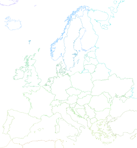
| Description | A political map of Europe using Lambert's Conformal Conical Projection; standard parallels: 40 deg & 56 deg; central meridian: 10 deg |
| Date | |
| Source | world_borders.shp; "The world_borders.zip dataset is Shapefile of the world's international borders, derived by Schuyler Erle from public domain sources." |
| Author | KoenB |
| Permission (Reusing this file) |
public domain |
| Other versions | Derivative works of this file: Dialetti Italia 1939.png |
Licensing
[edit]
| This work has been released into the public domain by its author, I, KoenB. This applies worldwide. In some countries this may not be legally possible; if so: I, KoenB grants anyone the right to use this work for any purpose, without any conditions, unless such conditions are required by law. |
File history
Click on a date/time to view the file as it appeared at that time.
| Date/Time | Thumbnail | Dimensions | User | Comment | |
|---|---|---|---|---|---|
| current | 15:58, 31 May 2015 | | 1,897 × 2,048 (249 KB) | Cmdrjameson (talk | contribs) | Compressed with pngout. Reduced by 157kB (38% decrease). |
| 19:34, 12 July 2007 |  | 1,897 × 2,048 (407 KB) | KoenB (talk | contribs) | {{Information |Description=A map of Europe using Lambert's Conformal Conical Projection; standard parallels: 40 deg & 56 deg; central meridian: 10 deg |Source=world_borders.shp; "The world_borders.zip dataset is Shapefile of the world's international bord |
You cannot overwrite this file.
File usage on Commons
The following page uses this file:
File usage on other wikis
The following other wikis use this file:
- Usage on nl.wikipedia.org