File:Europe location N-IRL2.png
Bước tới điều hướng
Bước tới tìm kiếm
Kích thước hình xem trước: 800×600 điểm ảnh. Độ phân giải khác: 320×240 điểm ảnh | 640×480 điểm ảnh | 1.024×768 điểm ảnh | 1.280×960 điểm ảnh | 1.600×1.200 điểm ảnh.
Tập tin gốc (1.600×1.200 điểm ảnh, kích thước tập tin: 772 kB, kiểu MIME: image/png)
Chú thích
Chú thích
Ghi một dòng giải thích những gì có trong tập tin này
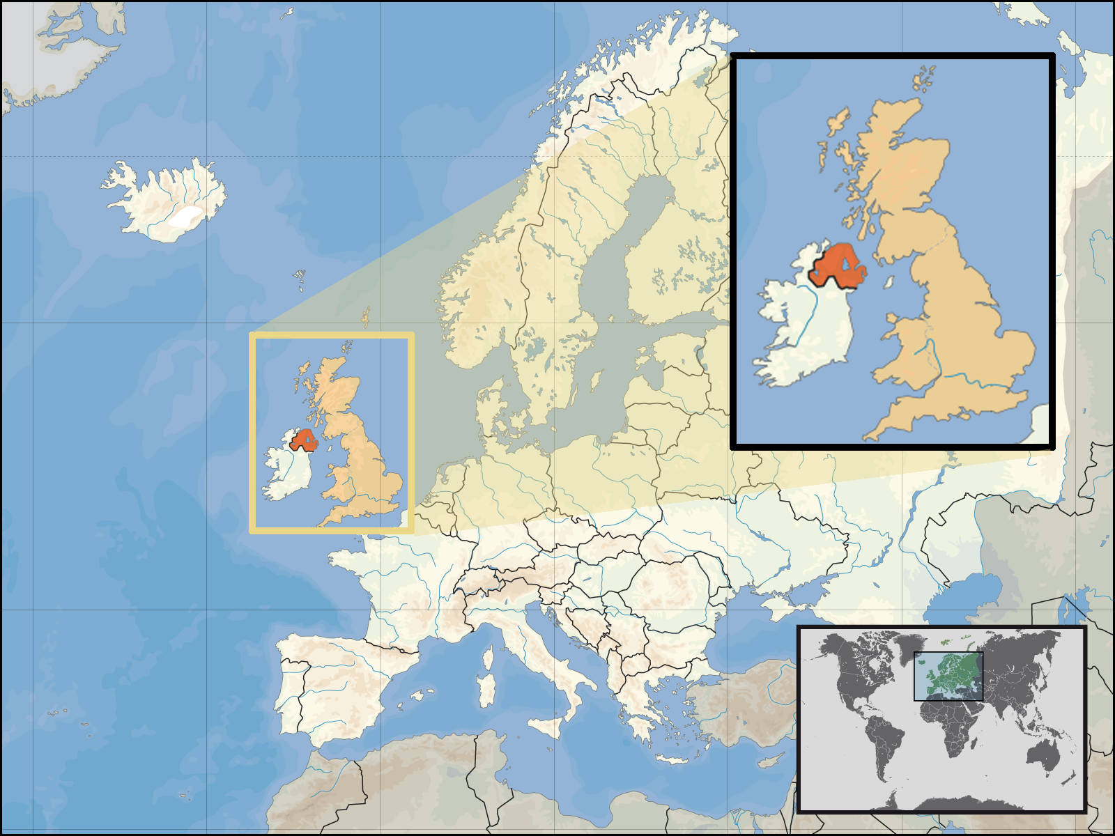
| Miêu tả | Location of Northern Ireland in the UK and Europe, on terrain map showing surface and underwater contour areas. | |||
| Ngày | ||||
| Nguồn gốc | Derived from Wikimedia Commons image of original work forming part of the "Europe location" map series created by David Liuzzo: derived from Image:Europe_location_N-IRL.png. | |||
| Tác giả | uploaded by User:Kmusser (excerpt from User:David_Liuzzo) | |||
| Giấy phép (Dùng lại tập tin) |
|
|||
| Phiên bản khác |
|


Lịch sử tập tin
Nhấn vào ngày/giờ để xem nội dung tập tin tại thời điểm đó.
| Ngày/Giờ | Hình xem trước | Kích cỡ | Thành viên | Miêu tả | |
|---|---|---|---|---|---|
| hiện tại | 19:05, ngày 29 tháng 9 năm 2008 | | 1.600×1.200 (772 kB) | Kmusser (thảo luận | đóng góp) | {{Information |Description= Location of Northern Ireland in the UK and Europe, on terrain map showing surface and underwater contour areas. |Source=Derived from Wikimedia Commons image of original work forming part of the "Europe location" map |
Bạn không được phép ghi đè tập tin này.
Trang sử dụng tập tin
Không có trang nào sử dụng tập tin này.
Sử dụng tập tin toàn cục
Những wiki sau đang sử dụng tập tin này:
- Trang sử dụng tại an.wikipedia.org
- Trang sử dụng tại az.wiktionary.org
- Trang sử dụng tại en.wikipedia.org
- Trang sử dụng tại eu.wiktionary.org
- Trang sử dụng tại fa.wikipedia.org
- Trang sử dụng tại fr.wikipedia.org
- Trang sử dụng tại gom.wikipedia.org
- Trang sử dụng tại gu.wikipedia.org
- Trang sử dụng tại gv.wikipedia.org
- Trang sử dụng tại id.wikipedia.org
- Trang sử dụng tại kn.wikipedia.org
- Trang sử dụng tại ko.wikipedia.org
- Trang sử dụng tại ml.wikipedia.org
- Trang sử dụng tại nds-nl.wikipedia.org
- Trang sử dụng tại nov.wikipedia.org
- Trang sử dụng tại pl.wikipedia.org
- Trang sử dụng tại pl.wiktionary.org
- Trang sử dụng tại simple.wikipedia.org
- Trang sử dụng tại sr.wikinews.org
- Trang sử dụng tại tet.wikipedia.org
- Trang sử dụng tại th.wikipedia.org
- Trang sử dụng tại tpi.wikipedia.org
- Trang sử dụng tại tr.wiktionary.org
- Trang sử dụng tại war.wikipedia.org