File:France location map-Departements 1997-2014.svg
Vai alla navigazione
Vai alla ricerca

Dimensioni di questa anteprima PNG per questo file SVG: 624 × 600 pixel. Altre risoluzioni: 250 × 240 pixel | 499 × 480 pixel | 799 × 768 pixel | 1 066 × 1 024 pixel | 2 131 × 2 048 pixel | 2 000 × 1 922 pixel.
File originale (file in formato SVG, dimensioni nominali 2 000 × 1 922 pixel, dimensione del file: 783 KB)
Didascalie
Didascalie
Aggiungi una brevissima spiegazione di ciò che questo file rappresenta
Dettagli
[modifica]| Luogo dello scatto | | Posizione di questa e altre immagini su: OpenStreetMap |
|---|
| Descrizione |
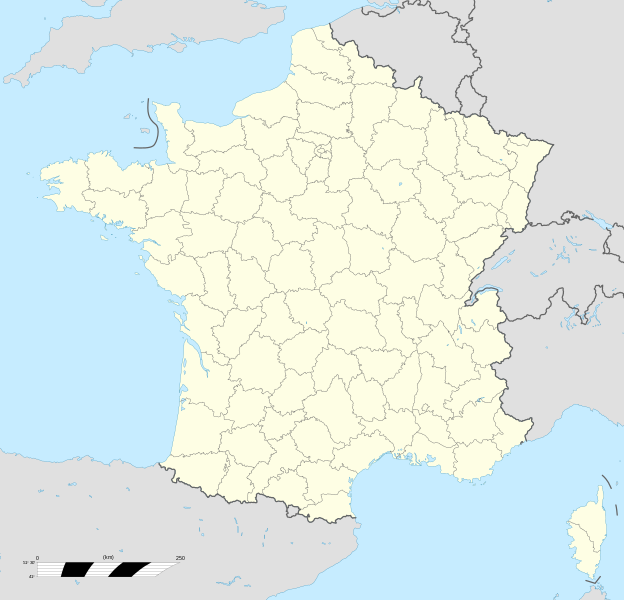
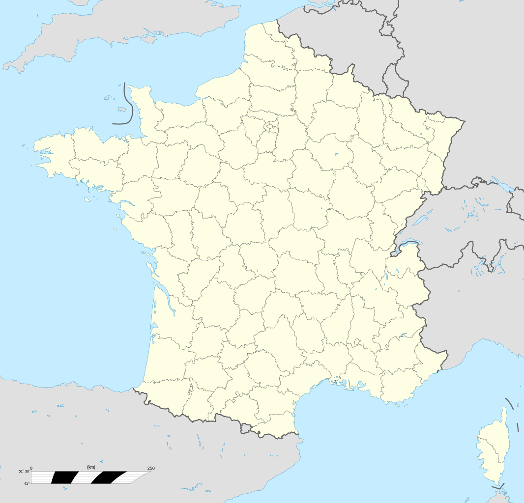
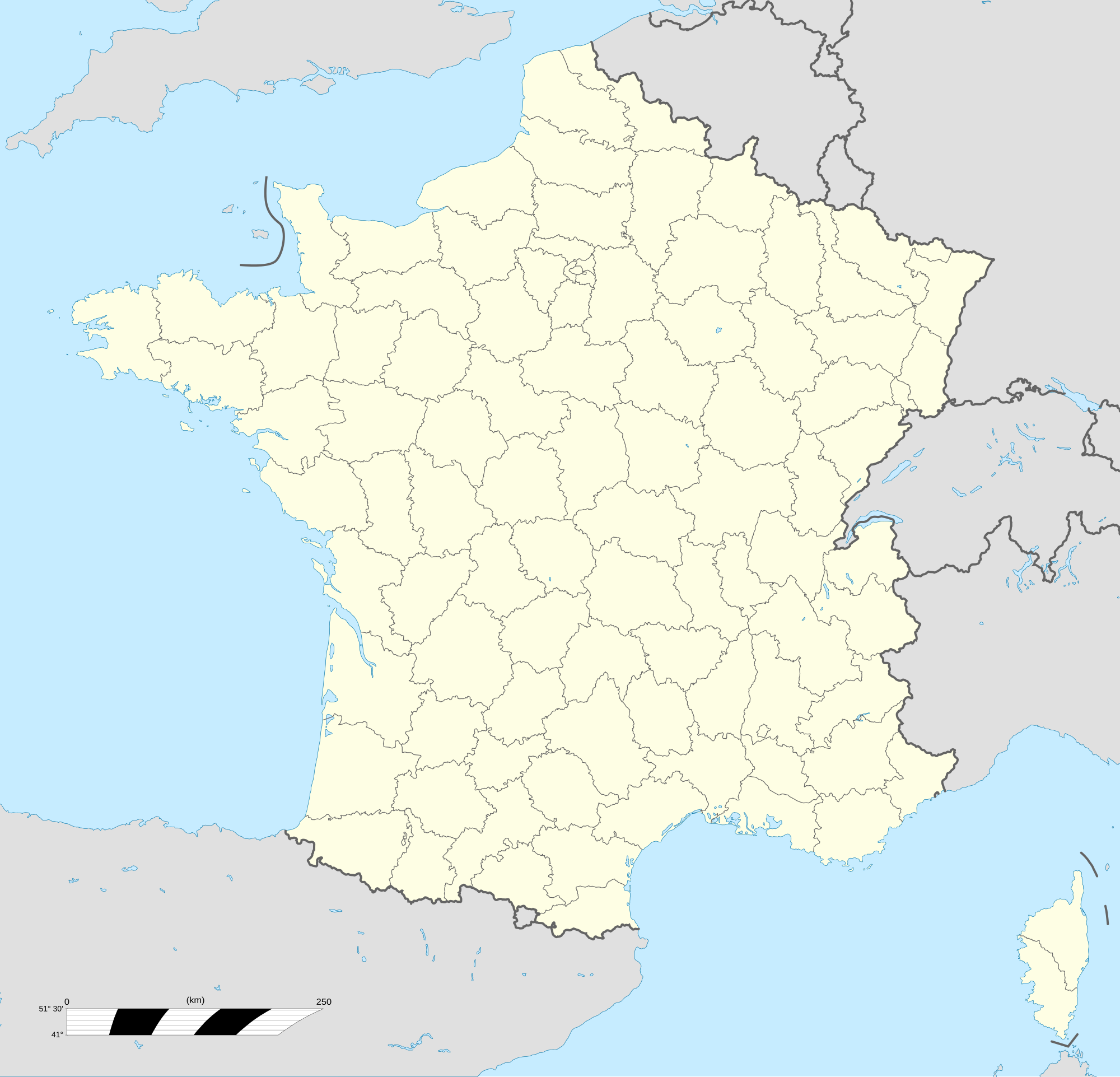
English: Blank administrative map of France for geo-location purpose, with departements.
Approximate scale : 1:3,000,000 Français : Carte administrative vierge de la France destinée à la géolocalisation, avec départements.
Échelle approximative : 1:3 000 000 Equirectangular projection, WGS84 datum
Geographic limits of the map :
|
||
| Data | |||
| Fonte |
Opera propria
|
||
| Autore | Eric Gaba (Sting - fr:Sting) | ||
| Licenza (Riusare questo file) |
|
||
| Altre versioni |
|
||
| SVG sviluppo |


.svg)
Licenza
[modifica]
Io, detentore del copyright su quest'opera, dichiaro di pubblicarla con le seguenti licenze:

|
È permesso copiare, distribuire e/o modificare questo documento in base ai termini della GNU Free Documentation License, Versione 1.2 o successive pubblicata dalla Free Software Foundation; senza alcuna sezione non modificabile, senza testo di copertina e senza testo di quarta di copertina. Una copia della licenza è inclusa nella sezione intitolata Testo della GNU Free Documentation License. |
Questo file è licenziato in base ai termini delle licenze Creative Commons Attribuzione-Condividi allo stesso modo 4.0 Internazionale, 3.0 Unported, 2.5 Generico, 2.0 Generico e 1.0 Generico
- Tu sei libero:
- di condividere – di copiare, distribuire e trasmettere quest'opera
- di modificare – di adattare l'opera
- Alle seguenti condizioni:
- attribuzione – Devi fornire i crediti appropriati, un collegamento alla licenza e indicare se sono state apportate modifiche. Puoi farlo in qualsiasi modo ragionevole, ma non in alcun modo che suggerisca che il licenziante approvi te o il tuo uso.
- condividi allo stesso modo – Se remixi, trasformi o sviluppi il materiale, devi distribuire i tuoi contributi in base alla stessa licenza o compatibile all'originale.
Puoi scegliere la licenza che preferisci.
Cronologia del file
Fare clic su un gruppo data/ora per vedere il file come si presentava nel momento indicato.
| Data/Ora | Miniatura | Dimensioni | Utente | Commento | |
|---|---|---|---|---|---|
| attuale | 13:53, 19 ott 2017 | | 2 000 × 1 922 (783 KB) | Sting (discussione | contributi) | No borders over the Lake of Constance |
| 13:19, 7 nov 2008 |  | 2 000 × 1 922 (784 KB) | Sting (discussione | contributi) | + boundary for Channel Islands | |
| 16:37, 23 ago 2008 |  | 2 000 × 1 922 (782 KB) | Sting (discussione | contributi) | Larger strokes for boundaries | |
| 17:53, 25 lug 2008 |  | 2 000 × 1 922 (782 KB) | Sting (discussione | contributi) | Variable scale | |
| 14:38, 25 lug 2008 |  | 2 000 × 1 922 (785 KB) | Sting (discussione | contributi) | Other countries' color ; - border | |
| 20:26, 4 lug 2008 |  | 2 000 × 1 922 (785 KB) | Sting (discussione | contributi) | == Summary == {{Location|46|15|00|N|02|06|00|E|scale:10000000}} <br/> {{Information |Description={{en|Blank administrative map of France for geo-location purpose, with departements.<br/>Approximate scale : 1:3,000,000}} {{fr|Carte administr |
Impossibile sovrascrivere questo file.
Utilizzo del file
Le seguenti 43 pagine usano questo file:
- User:JsfasdF252/sandbox
- Commons:Files used on Wikimedia Österreich Mitglieder/1
- File:France South West location map.svg
- File:France South West relief location map.jpg
- File:France location map-Departements 1790.svg
- File:France location map-Departements 1791.svg
- File:France location map-Departements 1793.svg
- File:France location map-Departements 1795.svg
- File:France location map-Departements 1797.svg
- File:France location map-Departements 1798.svg
- File:France location map-Departements 1800.svg
- File:France location map-Departements 1801.svg
- File:France location map-Departements 1802.svg
- File:France location map-Departements 1805.svg
- File:France location map-Departements 1808.svg
- File:France location map-Departements 1810.svg
- File:France location map-Departements 1811.svg
- File:France location map-Departements 1812.svg
- File:France location map-Departements 1813.svg
- File:France location map-Departements 1814.svg
- File:France location map-Departements 1815.svg
- File:France location map-Departements 1848.svg
- File:France location map-Departements 1852.svg
- File:France location map-Departements 1860.svg
- File:France location map-Departements 1871-1914.svg
- File:France location map-Departements 1919.svg
- File:France location map-Departements 1947.svg
- File:France location map-Departements 1964.svg
- File:France location map-Departements 1967.svg
- File:France location map-Departements 1970.svg
- File:France location map-Departements 1971-1972.svg
- File:France location map-Departements 1973-1974.svg
- File:France location map-Departements 1975-1996.svg
- File:France location map-Departements 1975-2014.svg (reindirizzamento file)
- File:France location map-Powdery mildew.svg
- File:France location map-Provinces 1789.svg
- File:France location map-Regions-2015.svg
- File:France location map-Regions-2015 (numbered).svg
- File:France location map-Regions and departements 1975-2014.svg
- File:France relief location map.jpg
- File:PhD students and Wikimedia projects in Lille - EduWiki 2013.pdf
- File:Toulouse a GLAMour City - Wikimania2012.pdf
- Template:Other versions/France location map-Departements
.svg)
Utilizzo globale del file
Anche i seguenti wiki usano questo file:
- Usato nelle seguenti pagine di fr.wikipedia.org:
- Usato nelle seguenti pagine di fr.wikinews.org:
- Usato nelle seguenti pagine di pt.wikipedia.org: