File:Harta - mapa z 1779-1783.jpg
Tập tin gốc (2.240×1.600 điểm ảnh, kích thước tập tin: 2,2 MB, kiểu MIME: image/jpeg)
Chú thích
Chú thích
Miêu tả
[sửa]
| Miêu tả |
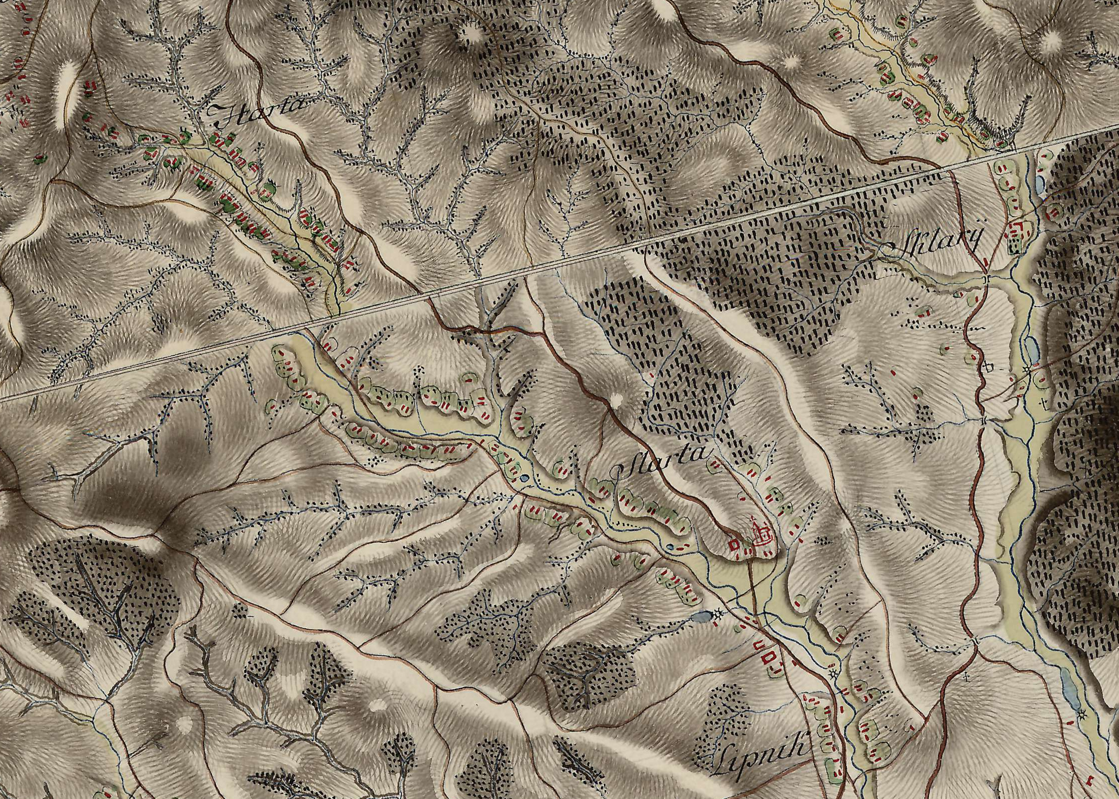
Polski: Wycinek topograficznej mapy józefińskiej Królestwa Galicji i Lodomerii z lat 1779-1783, przedstawiający wieś Harta. |
| Ngày | giữa 1779 và 1783 |
| Nguồn gốc | Österreichisches Staatsarchiv |
| Tác giả | Friedrich von Mieg |
Giấy phép
[sửa]
| The copyright to this Austrian simple photographic picture ("Lichtbild") has expired and it is currently in the public domain in Austria pursuant to the provisions of Article 74(6) of Federal Law BGBI No. 111 of 1936 in the Version of 2003-07-01 (details).
For a simple photograph ("Lichtbild"), such as simple passport photos from Photo booths, photos from satellites, pictures from radiography, it was either published more than 50 years ago or it was taken more than 50 years ago and never published within 50 years of its creation. Photographs that involve artistic interpretations, such as studio shots and those that involve lighting and poses, qualify as photographic works ("Lichtbildwerke") or "works of literature, music and art" (Eurobike: OGH, Beschluss vom 12.9.2001, 4 Ob 179/01d and Article 60). As such, a 70-year p.m.a. term of protection is applied (see this discussion). In order to be acceptable on Commons, works must be in the public domain in the United States as well as in their source country. Austrian works are currently in the public domain in the United States if their copyright had expired in Austria on the U.S. date of restoration (January 1, 1996). However, some works might have a subsisting U.S. copyright resulting from the long-standing copyright relations between Austria and the United States.
|

|
Lịch sử tập tin
Nhấn vào ngày/giờ để xem nội dung tập tin tại thời điểm đó.
| Ngày/Giờ | Hình xem trước | Kích cỡ | Thành viên | Miêu tả | |
|---|---|---|---|---|---|
| hiện tại | 18:59, ngày 23 tháng 5 năm 2023 | | 2.240×1.600 (2,2 MB) | TexLacerta (thảo luận | đóng góp) | == {{int:filedesc}} == {{Information |description={{pl|1=Wycinek topograficznej mapy józefińskiej Królestwa Galicji i Lodomerii z lat 1779-1783, przedstawiający wieś Harta.}} |date=1779-1783 |source=[https://maps.arcanum.com/en/map/europe-18century-firstsurvey/?layers=163%2C165&bbox=2461899.6707302975%2C6418499.614027107%2C2481887.953626871%2C6427977.805534469 Österreichisches Staatsarchiv] |author=Friedrich von Mieg |permission= |other versions= }} =={{int:license-header}}== {{PD-Austria}}... |
Bạn không được phép ghi đè tập tin này.
Trang sử dụng tập tin
Không có trang nào sử dụng tập tin này.
Sử dụng tập tin toàn cục
Những wiki sau đang sử dụng tập tin này:
- Trang sử dụng tại pl.wikipedia.org
- Trang sử dụng tại vi.wikipedia.org