File:Keisei-railway-KS37-Keisei-shisui-station-building-east-20200727-072233.jpg

File originale (4 912 × 2 763 pixel, dimensione del file: 7,58 MB, tipo MIME: image/jpeg)
Didascalie
Didascalie
| Descrizione |
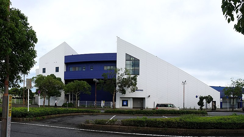
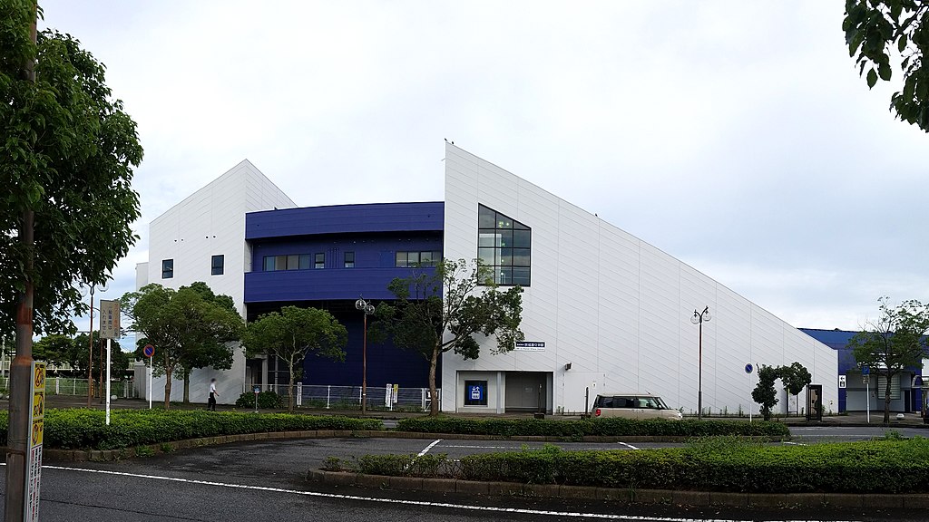
English: The east-side building of the Keisei Shisui Station on the Keisei Main Line in Shisui town, Chiba prefecture, Japan |
||||||||||
| Data | Scattata il 27 luglio 2020, 07:22:33 JST (UTC+9) | ||||||||||
| Fonte | Opera propria | ||||||||||
| Autore |
|
||||||||||
| Licenza (Riusare questo file) |
LERK, detentore del copyright su quest'opera, dichiara di pubblicarla con le seguenti licenze: Questo file è disponibile in base alla licenza Creative Commons Attribuzione-Condividi allo stesso modo 4.0 Internazionale Attribuzione: LERK
Questo file è disponibile in base alla licenza Creative Commons Attribuzione-Condividi allo stesso modo 2.1 Giappone Attribuzione: LERK
 Puoi scegliere la licenza che preferisci. |
||||||||||
| Luogo dello scatto | | Posizione di questa e altre immagini su: OpenStreetMap |
|---|
Cronologia del file
Fare clic su un gruppo data/ora per vedere il file come si presentava nel momento indicato.
| Data/Ora | Miniatura | Dimensioni | Utente | Commento | |
|---|---|---|---|---|---|
| attuale | 14:12, 25 ago 2020 | | 4 912 × 2 763 (7,58 MB) | LERK (discussione | contributi) | {{Information |Description={{ja|京成酒々井駅(京成本線)東口}} {{ko|게이세이 시스이 역(게이시이 전철 본선) 동쪽 역사 모습}} {{en|The east-side building of the Keisei Shisui Station on the Keisei Main Line in Shisui town, Chiba prefecture, Japan}} |Source={{own}} |Date={{Taken_on|location=Japan|2020-07-27 07:22:33}} JST (UTC+9) |Author={{User:LERK/Info}} |Permission={{User:LERK/Licence2016}} |other_versions= }} {{location|35|44|11.7|N... |
Impossibile sovrascrivere questo file.
Utilizzo del file
Le seguenti 2 pagine usano questo file:
Utilizzo globale del file
Anche i seguenti wiki usano questo file:
- Usato nelle seguenti pagine di en.wikipedia.org:
- Usato nelle seguenti pagine di it.wikipedia.org:
- Usato nelle seguenti pagine di ko.wikipedia.org:
- Usato nelle seguenti pagine di www.wikidata.org:
- Usato nelle seguenti pagine di zh.wikipedia.org: