File:Kherson province location map.svg
Jump to navigation
Jump to search

Size of this PNG preview of this SVG file: 533 × 403 pixels. Other resolutions: 318 × 240 pixels | 635 × 480 pixels | 1,016 × 768 pixels | 1,280 × 968 pixels | 2,560 × 1,936 pixels.
Original file (SVG file, nominally 533 × 403 pixels, file size: 234 KB)
Captions
Captions
Add a one-line explanation of what this file represents
Summary[edit]
| Description |
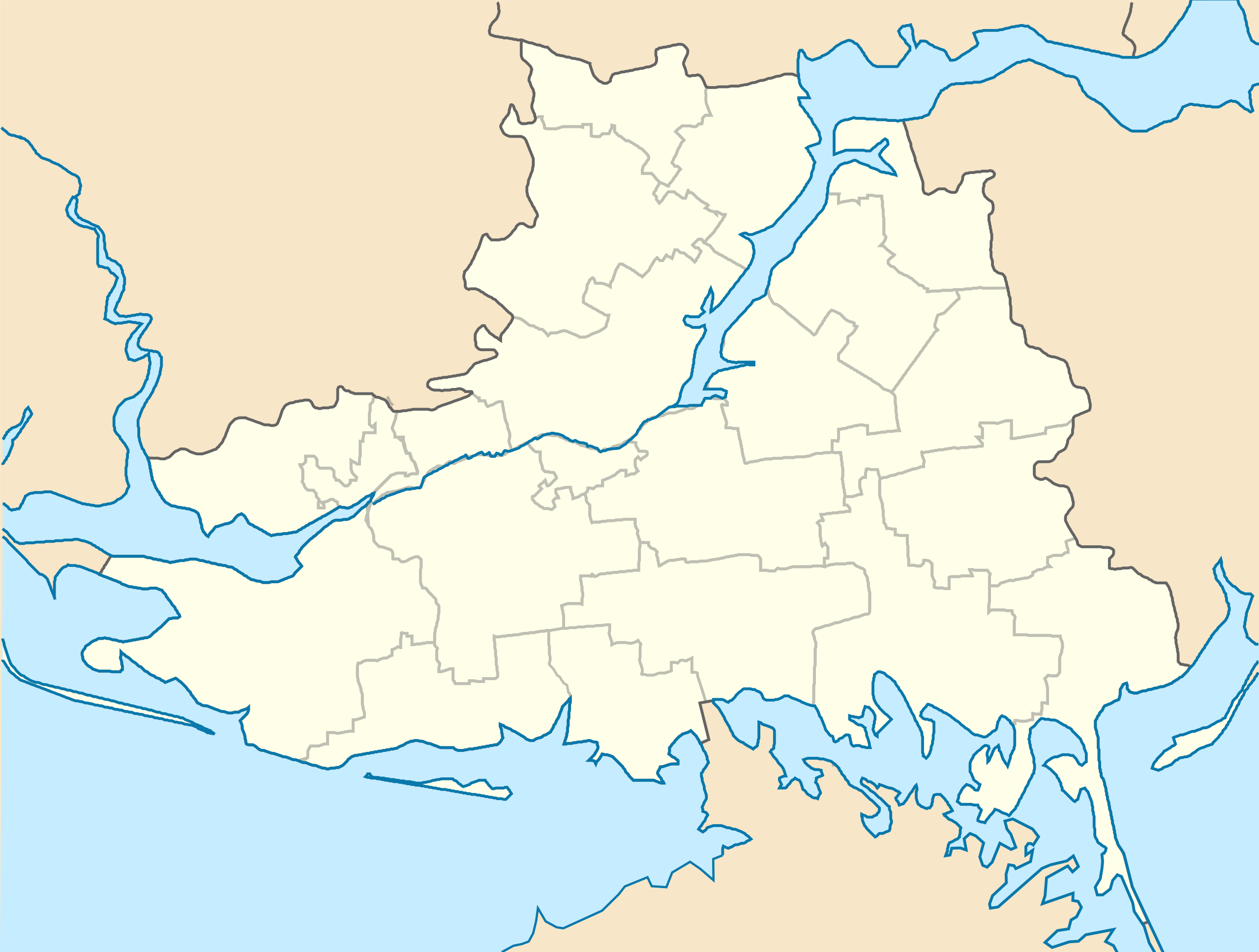
English: Location map of Kherson province, Ukraine
Русский: Позиционная карта Херсонской области, Украина
Українська: Карта Херсонської області, Україна |
| Date | |
| Source | Own work |
| Author | Urutseg |
Licensing[edit]
| I, the copyright holder of this work, release this work into the public domain. This applies worldwide. In some countries this may not be legally possible; if so: I grant anyone the right to use this work for any purpose, without any conditions, unless such conditions are required by law. |
File history
Click on a date/time to view the file as it appeared at that time.
| Date/Time | Thumbnail | Dimensions | User | Comment | |
|---|---|---|---|---|---|
| current | 09:03, 29 June 2014 | | 533 × 403 (234 KB) | קרלוס הגדול (talk | contribs) | lighter borders between provinces |
| 19:13, 17 March 2014 |  | 533 × 403 (234 KB) | NordNordWest (talk | contribs) | more to the south | |
| 18:30, 6 December 2010 |  | 533 × 362 (392 KB) | Urutseg (talk | contribs) |
You cannot overwrite this file.
File usage on Commons
The following page uses this file:
File usage on other wikis
The following other wikis use this file:
- Usage on ar.wikipedia.org
- Usage on ba.wikipedia.org
- Usage on bg.wikipedia.org
- Usage on ceb.wikipedia.org
- Usage on da.wikipedia.org
- Usage on de.wikipedia.org
- Usage on es.wikipedia.org
- Usage on fa.wikipedia.org
- Usage on fr.wikipedia.org
- Usage on he.wikipedia.org
- Usage on hy.wikipedia.org
- Խերսոն
- Կաղապար:Տեղորոշման քարտեզ Ուկրաինա Խերսոնի մարզ
- Բերիսլավ
- Կաչկարովկա (գյուղ, Բերիսլավի շրջան)
- Գենիչեսկ
- Նովոգրիգորովկա (գյուղ, Գենիչեսկի շրջան)
- Բոլշևիկ (գյուղ, Գոլոպրիստանսկի շրջան)
- Գոլայա Պրիստան
- Զելենովկա (քաղաքատիպ ավան, Ուկրաինա)
- Կամիշանի
- Խորլի
- Կախովկա
- Չերնյանկա (գյուղ, Կախովսկի շրջան)
- Դնեպրյանի
- Նովայա Կախովկա
- Տավրիյսկ
- Ասկանիա-Նովա (քաղաքատիպ ավան, Ուկրաինա)
- Սկադովսկ
View more global usage of this file.