File:Košice Region - background map.png
Jump to navigation
Jump to search
Size of this preview: 800 × 400 pixels. Other resolutions: 320 × 160 pixels | 640 × 320 pixels | 1,520 × 760 pixels.
Original file (1,520 × 760 pixels, file size: 1.27 MB, MIME type: image/png)
Captions
Captions
Add a one-line explanation of what this file represents
Summary
[edit]
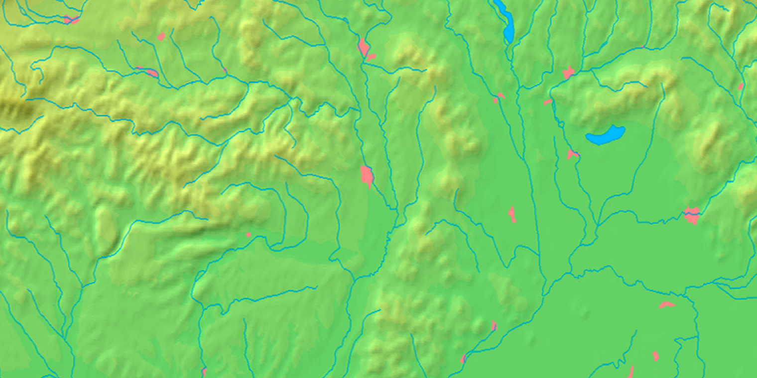
| Description | Background map of the Košice Region, Slovakia, ready for the Geobox template, calibrated at en:Template:Geobox locator Košice Region |
| Date | |
| Source | Made my myself from free maps available at www.demis.nl |
| Author | Caroig |
| Other versions | Derivative works of this file: Košice Region - physical map.png |
Licensing
[edit]
This image is in the public domain because it came from the site https://www.demis.nl/products/web-map-server/examples/ and was released by the copyright holder. Permission is granted to copy, distribute and/or modify this map since it is based on free of copyright images from: www.demis.nl. See also approval email on de.wp and its clarification.
|
| This work has been released into the public domain by its copyright holder, www.demis.nl. This applies worldwide. In some countries this may not be legally possible; if so: www.demis.nl grants anyone the right to use this work for any purpose, without any conditions, unless such conditions are required by law.
|
File history
Click on a date/time to view the file as it appeared at that time.
| Date/Time | Thumbnail | Dimensions | User | Comment | |
|---|---|---|---|---|---|
| current | 10:22, 27 October 2007 | | 1,520 × 760 (1.27 MB) | Caroig (talk | contribs) | == Summary == {{Information |Description=Background map of the Košice Region, Slovakia, ready for the Geobox template, calibrated at en:Template:Geobox locator Košice Region |Source=Made my myself from free maps available at |
You cannot overwrite this file.
File usage on Commons
There are no pages that use this file.
File usage on other wikis
The following other wikis use this file:
- Usage on arz.wikipedia.org
- Usage on en.wikipedia.org
- Usage on fa.wikipedia.org
- Usage on fr.wikipedia.org
- Usage on mk.wikipedia.org
- Usage on simple.wikipedia.org
- Usage on si.wikipedia.org
- Usage on sk.wikipedia.org
- Tunel Dargov
- Michalovský hrad
- Parič
- Turniansky hrad
- Slanec (hrad)
- Veľký Kamenec (hrad)
- Košický hrad
- Šablóna:Geobox
- Zemplínsky hrad
- Gelnica (hrad)
- Šablóna:Geobox/Dokumentácia
- Zvonivá jama
- Tunel Ďurďošík
- Kochanovce (Sečovce)
- Albínovská hora
- Tunel Soroška
- Obišovský hrad
- Kysak (hrad)
- Stratenská jaskyňa
- Humenec (chránené územie)
- Malý Milič (národná prírodná rezervácia)
- Pri dubníkoch
- Budulov
- Kluknavská kotlina
- Novoveská kotlina
- Vlašská kotlina
- Levočská brána (Spišská Nová Ves)
View more global usage of this file.