File:Location map Taifa of Granada.svg
Jump to navigation
Jump to search

Size of this PNG preview of this SVG file: 711 × 599 pixels. Other resolutions: 285 × 240 pixels | 570 × 480 pixels | 911 × 768 pixels | 1,215 × 1,024 pixels | 2,430 × 2,048 pixels | 713 × 601 pixels.
Original file (SVG file, nominally 713 × 601 pixels, file size: 282 KB)
Captions
Captions
Add a one-line explanation of what this file represents
| Description |
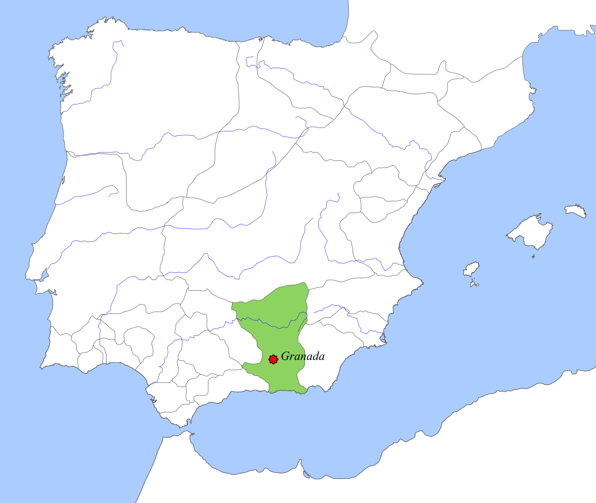
English: Taifa Kingdom of Granada circa 1037, location map |
||||||||
| Date | |||||||||
| Source | Own work | ||||||||
| Author | Tyk | ||||||||
| Permission (Reusing this file) |
|

File history
Click on a date/time to view the file as it appeared at that time.
| Date/Time | Thumbnail | Dimensions | User | Comment | |
|---|---|---|---|---|---|
| current | 15:27, 6 October 2018 | | 713 × 601 (282 KB) | Tyk (talk | contribs) | Removing frame and other improvements |
| 18:08, 10 December 2008 |  | 694 × 540 (346 KB) | Tyk (talk | contribs) | {{Information |Description={{en|1=Taifa Kingdom of Granada circa 1037, location map}} |Source=Own work by uploader |Author=Té y kriptonita |Date=Dec 2008 |Permission={{GFDL}} |other_versions= }} <!--{{ImageUpload|full}}--> [[Ca |
You cannot overwrite this file.
File usage on Commons
The following page uses this file:
File usage on other wikis
The following other wikis use this file:
- Usage on ar.wikipedia.org
- Usage on br.wikipedia.org
- Usage on ca.wikipedia.org
- Usage on de.wikipedia.org
- Usage on en.wikipedia.org
- Usage on eo.wikipedia.org
- Usage on es.wikipedia.org
- Usage on fr.wikipedia.org
- Usage on fy.wikipedia.org
- Usage on gd.wikipedia.org
- Usage on he.wikipedia.org
- Usage on hu.wikipedia.org
- Usage on ja.wikipedia.org
- Usage on mt.wikipedia.org
- Usage on nl.wikipedia.org
- Usage on nn.wikipedia.org
- Usage on no.wikipedia.org
- Usage on pt.wikipedia.org
- Usage on ru.wikipedia.org
- Usage on sh.wikipedia.org
- Usage on uk.wikipedia.org
- Usage on ur.wikipedia.org
- Usage on www.wikidata.org