File:Moscow oblast Kolomna district location map.svg
Jump to navigation
Jump to search

Size of this PNG preview of this SVG file: 800 × 521 pixels. Other resolutions: 320 × 208 pixels | 640 × 417 pixels | 1,024 × 667 pixels | 1,280 × 834 pixels | 2,560 × 1,667 pixels | 1,270 × 827 pixels.
Original file (SVG file, nominally 1,270 × 827 pixels, file size: 86 KB)
Captions
Captions
Add a one-line explanation of what this file represents
Summary[edit]
| Description |
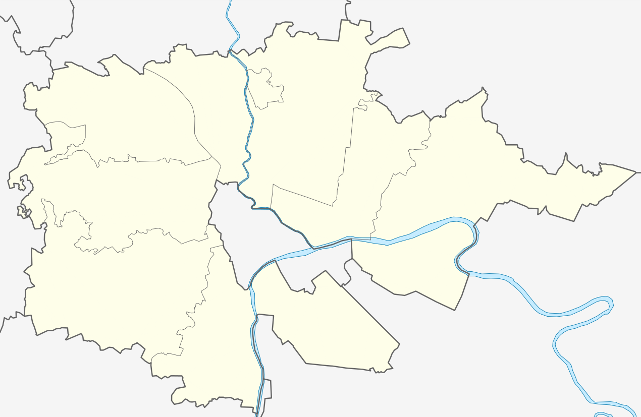
English: Moscow oblast Kolomna district location map |
| Date | |
| Source | Own work |
| Author | Bogomolov.PL |
N=55 deg 17' S=54 deg 56' W=38 deg 23' E=39 deg 20'
Licensing[edit]
| I, the copyright holder of this work, release this work into the public domain. This applies worldwide. In some countries this may not be legally possible; if so: I grant anyone the right to use this work for any purpose, without any conditions, unless such conditions are required by law. |
File history
Click on a date/time to view the file as it appeared at that time.
| Date/Time | Thumbnail | Dimensions | User | Comment | |
|---|---|---|---|---|---|
| current | 16:37, 17 October 2008 | | 1,270 × 827 (86 KB) | Bogomolov.PL (talk | contribs) | {{Information |Description=Moscow_oblast_Kolomna_district_location_map |Source= |Date=2008-10-16 |Author=Bogomolov.PL |Permission= |other_versions= }} |
| 16:19, 17 October 2008 |  | 1,400 × 990 (87 KB) | Bogomolov.PL (talk | contribs) | {{Information |Description={{en|1=Moscow oblast Kolomna district location map}} |Source=Own work by uploader |Author=Bogomolov.PL |Date=2008-10-17 |Permission= |other_versions= }} N=56 deg 17' S=55 deg 56' W=37 deg 23' E=38 deg 20' |
You cannot overwrite this file.
File usage on Commons
There are no pages that use this file.
File usage on other wikis
The following other wikis use this file:
- Usage on ar.wikipedia.org
- Usage on ceb.wikipedia.org
- Usage on de.wikipedia.org
- Usage on fa.wikipedia.org
- Usage on fr.wikipedia.org
- Usage on kn.wikipedia.org
- Usage on ru.wikipedia.org
- Usage on tr.wikipedia.org
- Usage on ur.wikipedia.org
- Usage on war.wikipedia.org