File:North Sea location map.svg

Oorspronkelijk bestand (SVG-bestand, nominaal 988 × 1.159 pixels, bestandsgrootte: 582 kB)
Bijschriften
Bijschriften
Beschrijving[bewerken]
| Beschrijving |
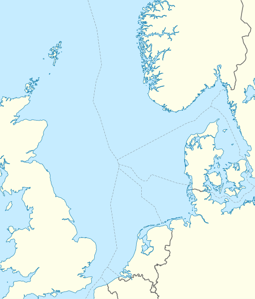
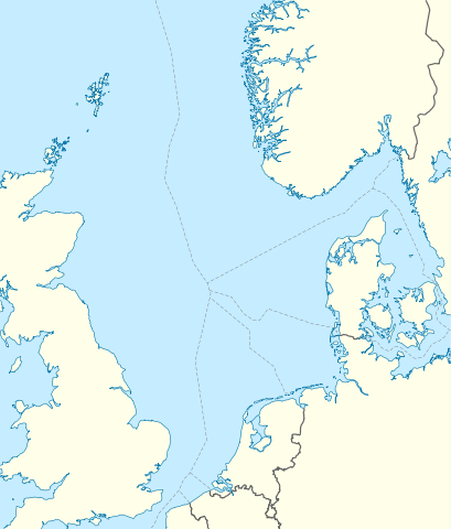
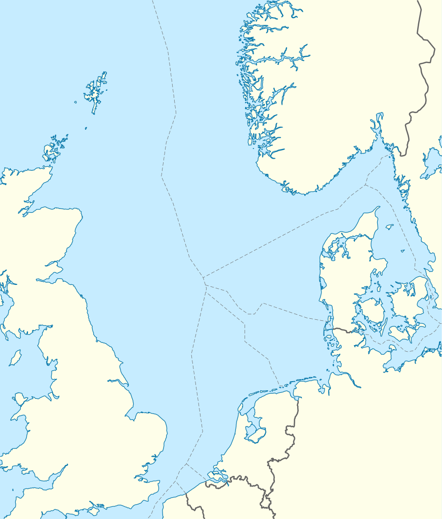
Deutsch: Positionskarte der Nordsee
Quadratische Plattkarte, N-S-Streckung 180 %. Geographische Begrenzung der Karte:
English: Location map of the North Sea
Equirectangular projection, N/S stretching 180 %. Geographic limits of the map:
|
|
| Datum | ||
| Bron | own work, using World Data Base II data | |
| Auteur | NordNordWest | |
| Toestemming (Hergebruik van dit bestand) |
Dit bestand is gelicenseerd onder de Creative Commons-licentie Naamsvermelding-Gelijk delen 3.0 Duitsland
 Dit bestand is gelicenseerd onder de Creative Commons-licentie Naamsvermelding-Gelijk delen 3.0 Duitsland
|
|
| Andere versies |
Afgeleide werken van dit bestand:
|


|
Deze kaart is gemaakt of verbeterd in de Duitse Kartenwerkstatt (Map Lab). Je kunt ook zelf kaarten ter verbetering voorstellen.
|
Bestandsgeschiedenis
Klik op een datum/tijd om het bestand te zien zoals het destijds was.
| Datum/tijd | Miniatuur | Afmetingen | Gebruiker | Opmerking | |
|---|---|---|---|---|---|
| huidige versie | 18 jun 2010 08:49 | | 988 × 1.159 (582 kB) | NordNordWest (overleg | bijdragen) | == {{int:filedesc}} == {{Information |Description= {{de|Positionskarte der Nordsee}} Quadratische Plattkarte, N-S-Streckung 180 %. Geographische Begrenzung der Karte: * N: 62.5° N * S: 50.5° N * W: 5.2° W * O: 13.2° O {{en|Location map |
U kunt dit bestand niet overschrijven.
Bestandsgebruik
Dit bestand wordt op de volgende 8 pagina's gebruikt:
Globaal bestandsgebruik
De volgende andere wiki's gebruiken dit bestand:
- Gebruikt op ar.wikipedia.org
- Gebruikt op ast.wikipedia.org
- Gebruikt op az.wikipedia.org
- Gebruikt op ban.wikipedia.org
- Gebruikt op be.wikipedia.org
- Gebruikt op ca.wikipedia.org
- Gebruikt op ceb.wikipedia.org
- Gebruikt op cs.wikipedia.org
- Gebruikt op da.wikipedia.org
- Gebruikt op de.wikipedia.org
- Piper Alpha
- Troll A
- HGÜ Troll
- Ekofisk
- Offshore-Windpark Butendiek
- Wikipedia:Kartenwerkstatt/Positionskarten/Andere
- Offshore-Windpark Rhyl Flats
- Offshore-Windpark North Hoyle
- Offshore-Windpark Borkum Riffgrund
- Offshore-Windpark Sandbank
- Offshore-Windpark DanTysk
- Offshore-Windpark Nördlicher Grund
- Offshore-Windpark Global Tech I
- BARD Offshore 1
- Trianel Windpark Borkum
- Offshore-Windpark Hohe See
- Offshore-Windpark He dreiht
- Offshore-Windpark Veja Mate
- BorWin1
- Offshore-Windpark London Array
- Offshore-Windpark Gwynt y Môr
- Vorlage:Positionskarte Nordsee
- Offshore-Windpark Riffgat
- Gannet Alpha
- Offshore-Windpark Albatros
- Offshore-Windpark Greater Gabbard
- Elgin Wellhead Platform
- Alvheim
- Wikipedia:Auskunft/Archiv/2013/Woche 27
Globaal gebruik van dit bestand bekijken.