File:Novhorod-Siverskyi Namestnichestvo Map (1792).jpg
Jump to navigation
Jump to search

Size of this preview: 733 × 600 pixels. Other resolutions: 293 × 240 pixels | 587 × 480 pixels | 939 × 768 pixels | 1,252 × 1,024 pixels | 2,504 × 2,048 pixels | 4,859 × 3,975 pixels.
Original file (4,859 × 3,975 pixels, file size: 8.46 MB, MIME type: image/jpeg)
Captions
Captions
Add a one-line explanation of what this file represents
| Description |
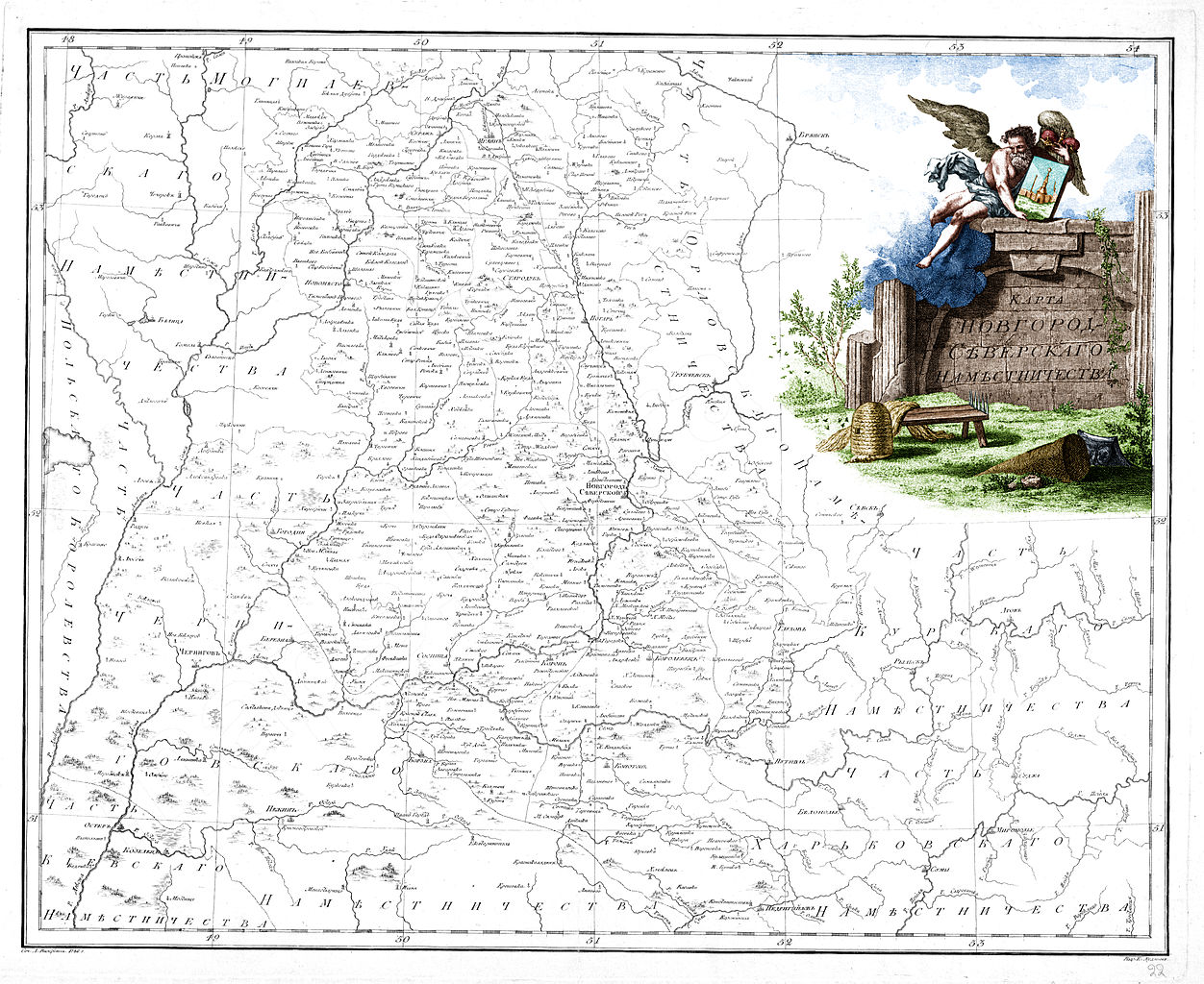
Русский: Карта Новгород-Северского наместничества (лист 22) из «Российского атласа из сорока четырех карт состоящего и на сорок на два наместничества Империю разделяющего» (1792). С цветным картушем.
English: Map of Novhorod-Siverskyi Namestnichestvo (sheet 22) from official Atlas of the Russian Empire (1792).With colour cartouche. |
| Date | |
| Source |
Русский: Российский атлас, из сорока четырех карт состоящий и на сорок два наместничества империю разделяющий / Сочин., гравир. и печатан при Горном училище в 1792 г. Соч. А. Вильдбрехт. Гравир. А. Савинков, И. Леонов. Вырез. Т. Михайлов. http://www.redkie.ru/index.php?option=com_content&task=view&id=30&Itemid=1 |
| Author |
Русский: Александр Михайлович Вильбрехт English: Aleksandr Mikhaylovich Vilbrekht |
| Other versions |
|

|
This work is in the public domain in its country of origin and other countries and areas where the copyright term is the author's life plus 100 years or fewer. | |
| This file has been identified as being free of known restrictions under copyright law, including all related and neighboring rights. | |
File history
Click on a date/time to view the file as it appeared at that time.
| Date/Time | Thumbnail | Dimensions | User | Comment | |
|---|---|---|---|---|---|
| current | 19:13, 13 December 2009 | | 4,859 × 3,975 (8.46 MB) | Transcend (rus) (talk | contribs) | {{Information |Description={{ru|Карта Новгород-Северского наместничества (лист 22) из «Российского атласа из сорока четырех карт состоящего и на сорок на � |
You cannot overwrite this file.
File usage on Commons
The following page uses this file:
File usage on other wikis
The following other wikis use this file:
- Usage on nl.wikipedia.org
- Usage on ru.wikipedia.org
- Usage on uk.wikipedia.org
.jpg&oldid=488065072)