File:OTCA Map.PNG
Jump to navigation
Jump to search

Size of this preview: 600 × 600 pixels. Other resolutions: 240 × 240 pixels | 480 × 480 pixels | 768 × 768 pixels | 1,024 × 1,024 pixels | 2,000 × 2,000 pixels.
Original file (2,000 × 2,000 pixels, file size: 469 KB, MIME type: image/png)
Captions
Captions
Add a one-line explanation of what this file represents
| Description |
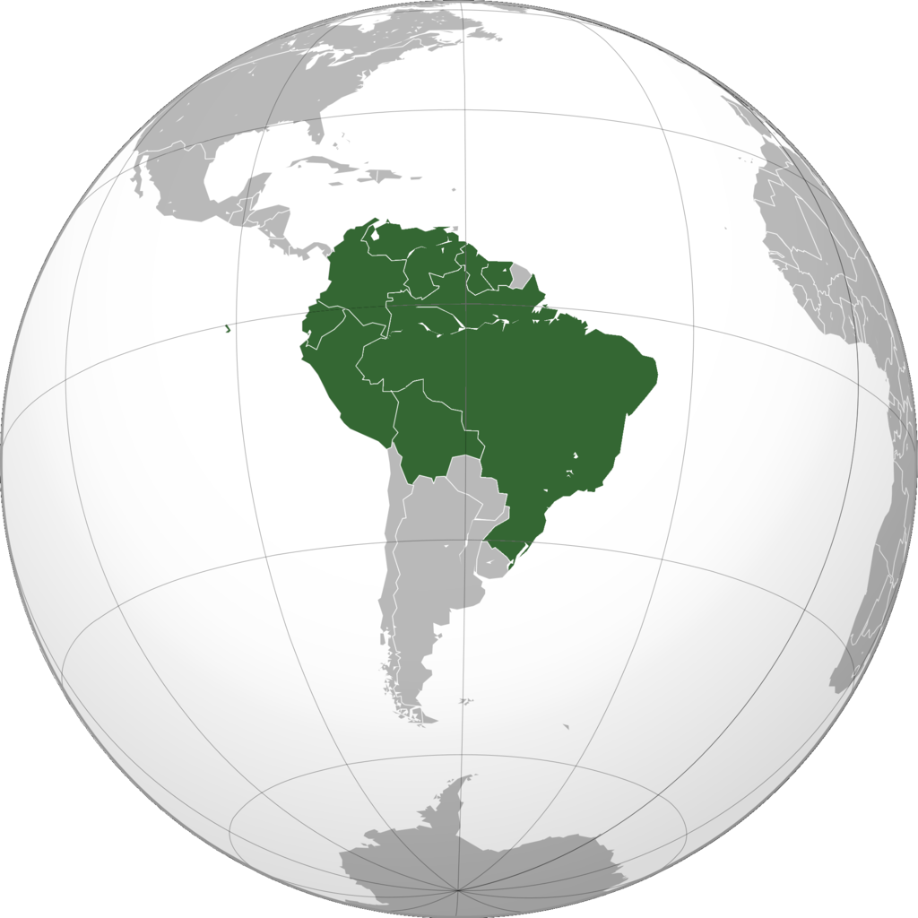
Português: Legenda:
Español: Legenda:
|
||
| Date | |||
| Source | Image:BlankMap-World.png | ||
| Author | João Felipe C.S | ||
| Permission (Reusing this file) |
|
||
| Other versions | Derivative works of this file: CIC map.png |
File history
Click on a date/time to view the file as it appeared at that time.
| Date/Time | Thumbnail | Dimensions | User | Comment | |
|---|---|---|---|---|---|
| current | 03:47, 3 April 2014 | | 2,000 × 2,000 (469 KB) | Capmo (talk | contribs) | more emphasis on South America |
| 15:09, 11 November 2006 |  | 1,357 × 628 (45 KB) | Felipe Menegaz (talk | contribs) | {{Information |Description={{pt|Legenda: *Laranja: Estados Membros da OTCA}} {{es|Legenda: *Anaranjado: Estados Miembros de la OTCA}} |Source=Image:BlankMap-World.png |Date= 12 August, 2006 |Author=João Felipe C.S |Permis |
You cannot overwrite this file.
File usage on Commons
The following 4 pages use this file:
File usage on other wikis
The following other wikis use this file:
- Usage on ca.wikipedia.org
- Usage on en.wikipedia.org
- Usage on eo.wikipedia.org
- Usage on es.wikipedia.org
- Usage on fr.wikipedia.org
- Usage on it.wikipedia.org
- Usage on nl.wikipedia.org
- Usage on no.wikipedia.org
- Usage on pl.wikipedia.org
- Usage on pt.wikipedia.org
- Usage on ru.wikipedia.org
- Usage on tr.wikipedia.org
- Usage on uk.wikipedia.org
- Usage on vec.wikipedia.org
- Usage on www.wikidata.org